Guide to Hiking the Mount Anne Circuit in Tasmania
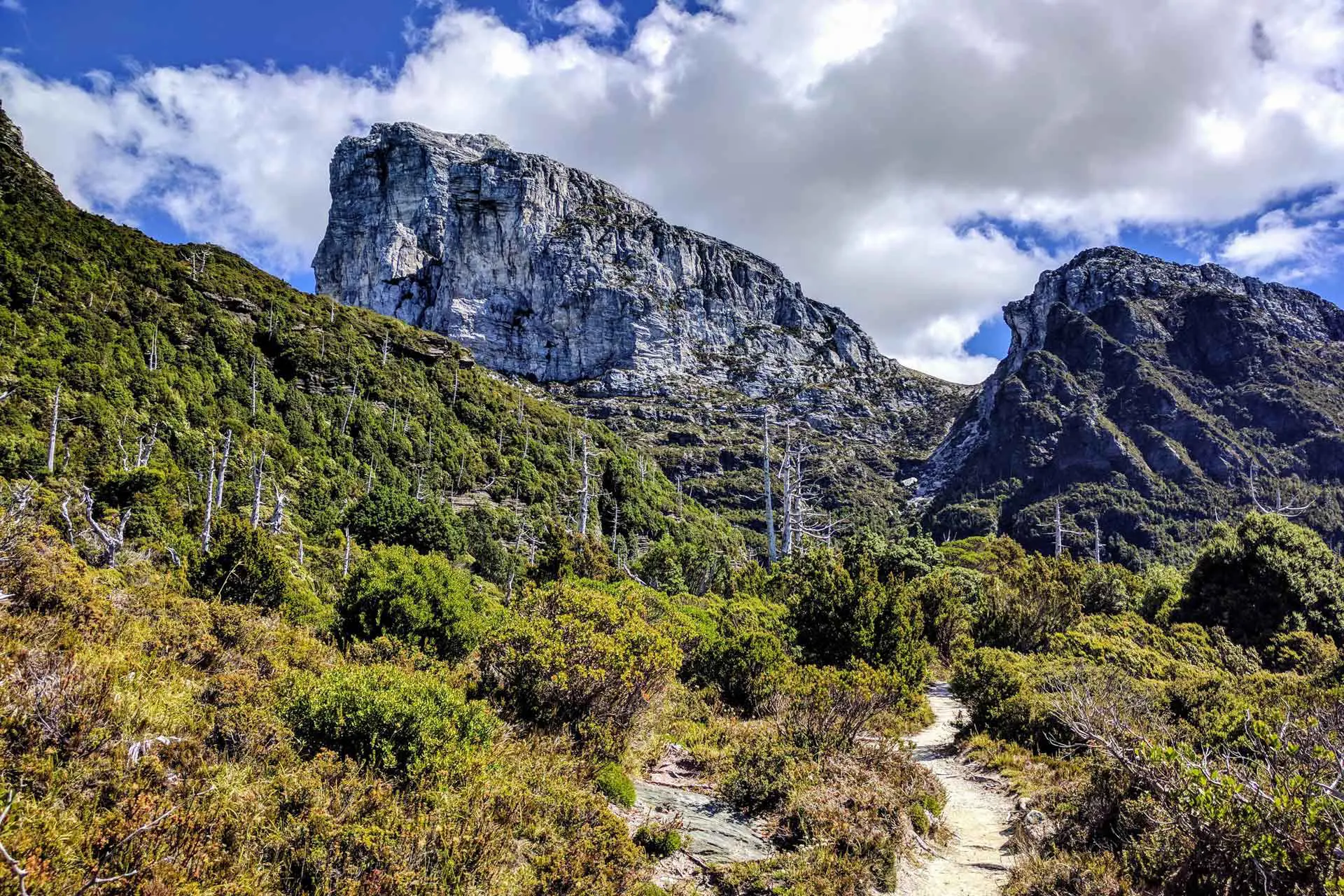
The Mount Anne Circuit is named for the 4,669 ft / 1,423 m Mount Anne – the highest peak in Tasmania’s Southwest National Park. I…

The Mount Anne Circuit is named for the 4,669 ft / 1,423 m Mount Anne – the highest peak in Tasmania’s Southwest National Park. I…

Federation Peak is a remote peak in Tasmania’s Eastern Arthur Range. The 4,180 ft / 1,274 m summit is accessible via Farmhouse Creek to the…
Frenchmans Cap is the most prominent peak in Franklin-Gordon Wild Rivers National Park and located south of Tasmania’s Lyell Highway between Queenstown to the west…
This post has been sitting in my “Drafts” folder for ages now being neglected like an unwanted stepchild. After repeated emails from readers wondering why…
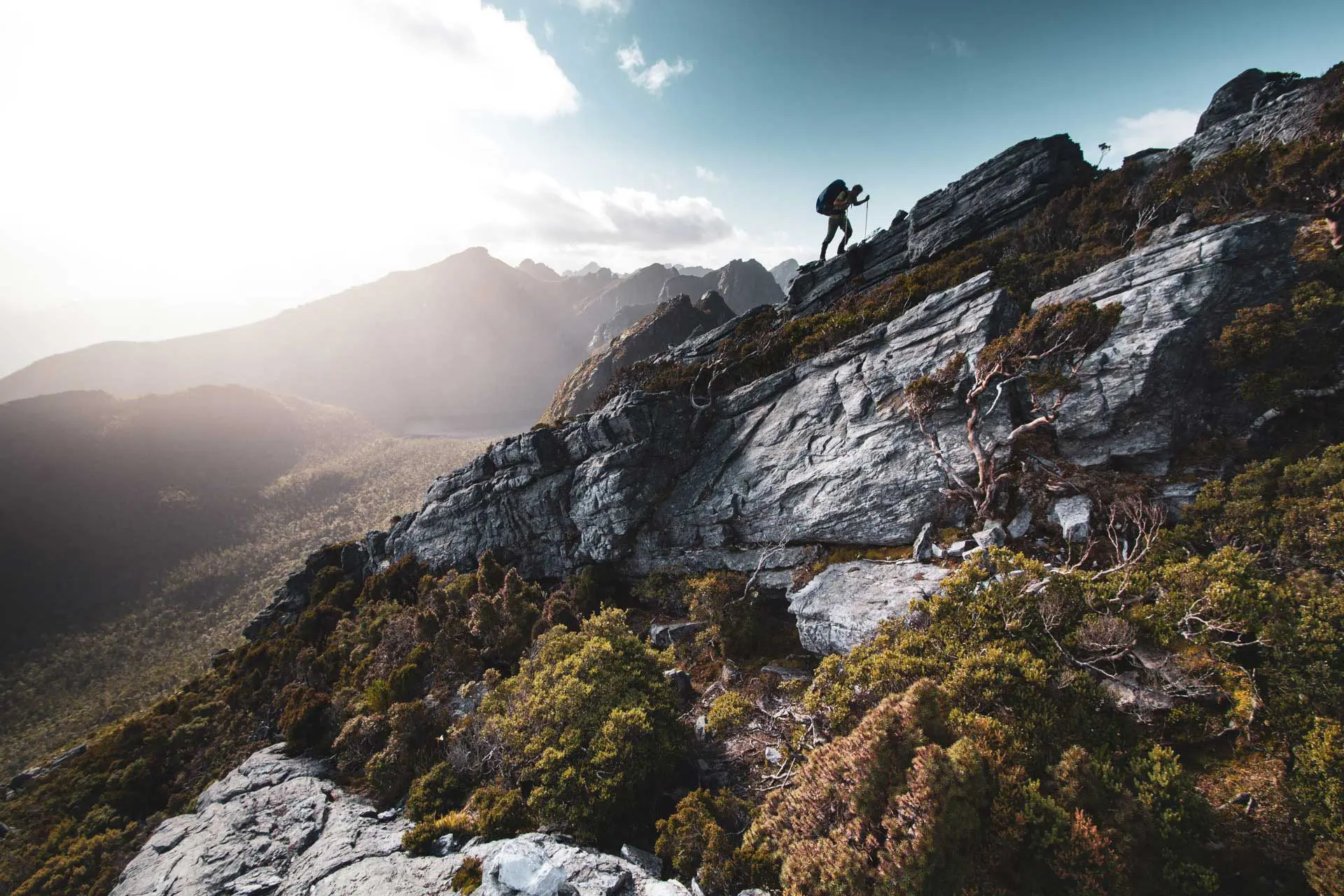
The Western Arthurs Traverse is a challenging and overall incredible hike in Southwest National Park in Tasmania. Its remote location and the level of experience…

The Overland Track is a well-maintained 49.7 mi / 80 km track through Cradle Mountain-Lake St Clair National Park connecting Ronny Creek (map) to Lake…
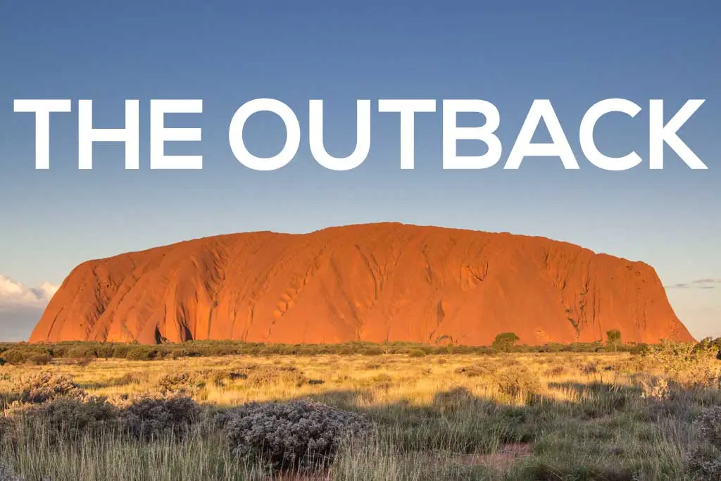
Australia’s Outback doesn’t have clearly defined boundaries, but it can typically be described as anywhere outside major city centers – particularly as you move towards…

Down under! The country that’s also a continent! The gateway to New Zealand! The place with a bunch of stuff that can kill you! Kangaroo…
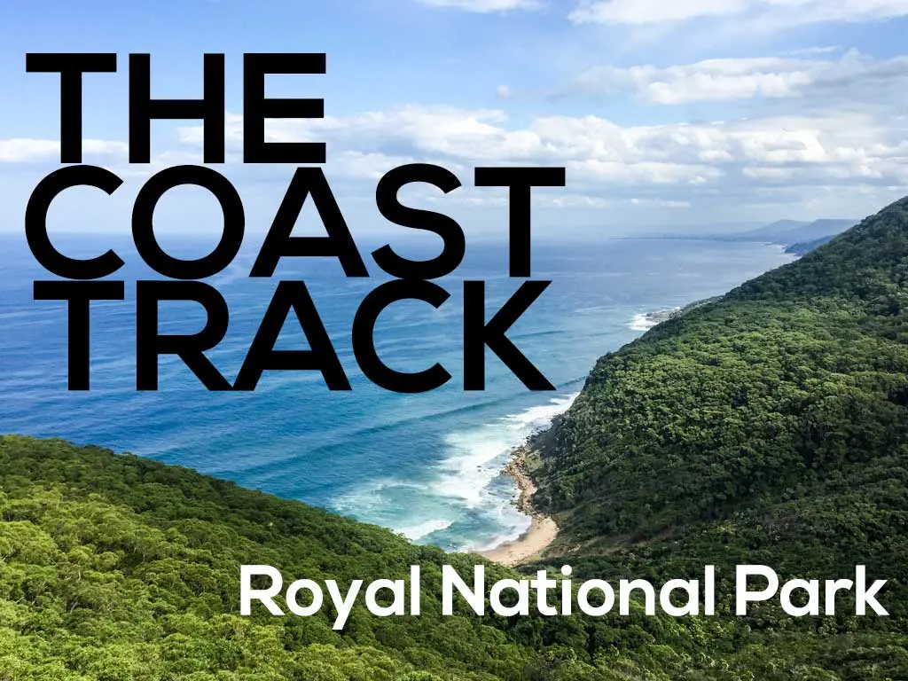
Location: New South Wales Time: 1-2 days Distance: 17 mi / 27km Elevation gain: 780 ft / 240 m Difficulty: Easy-Moderate Water on trail: Yes…
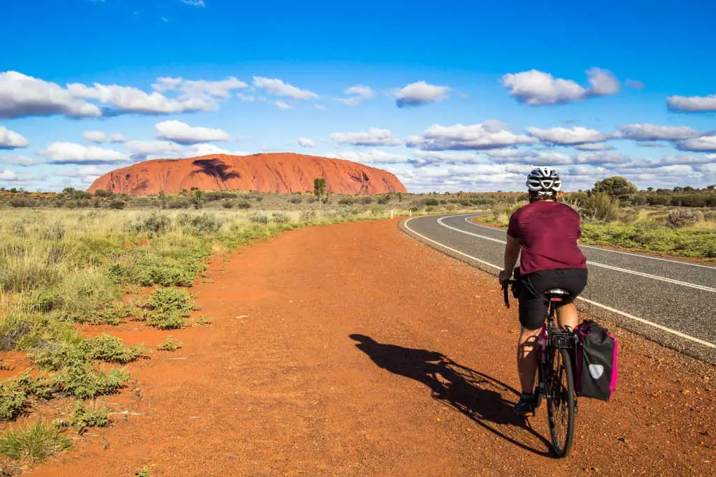
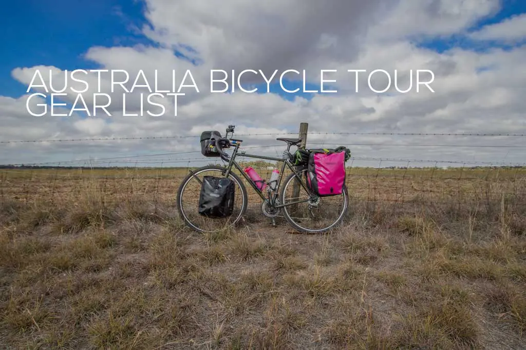
Sure, looking at pictures of the Outback or reading about how enormous road trains are might give you some idea of what a bicycle ride…

When I bought a bicycle in Melbourne and decided that I was going to ride it across Australia’s Outback, I literally had no idea what…

I didn’t die. I rode a bicycle 2,428.24 mi / 3,907.04 km across Australia from Melbourne to Darwin, and I didn’t die. Mission accomplished. Today…