Tasmania Trekking
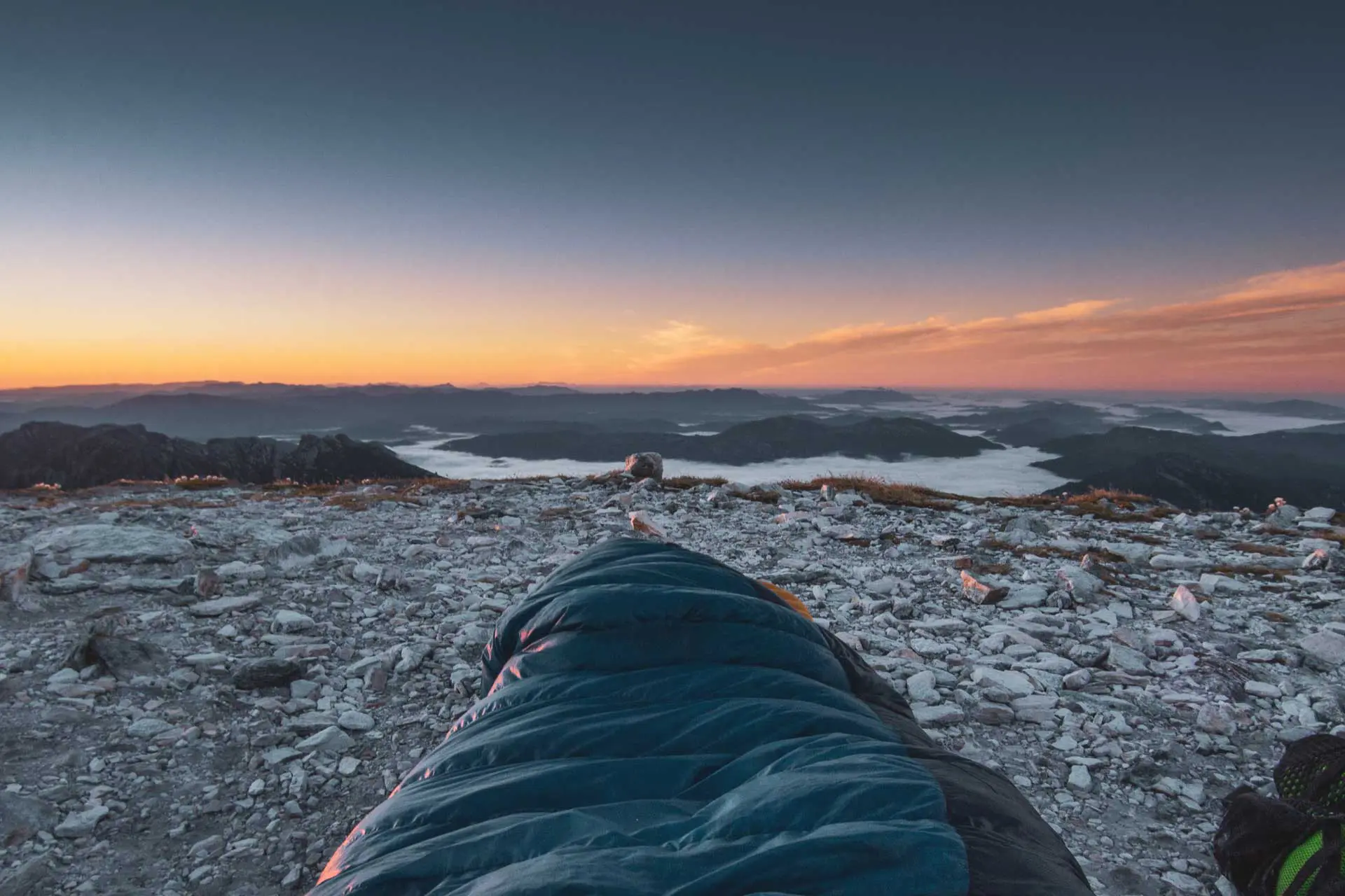
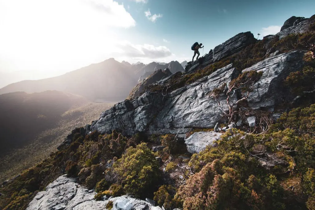
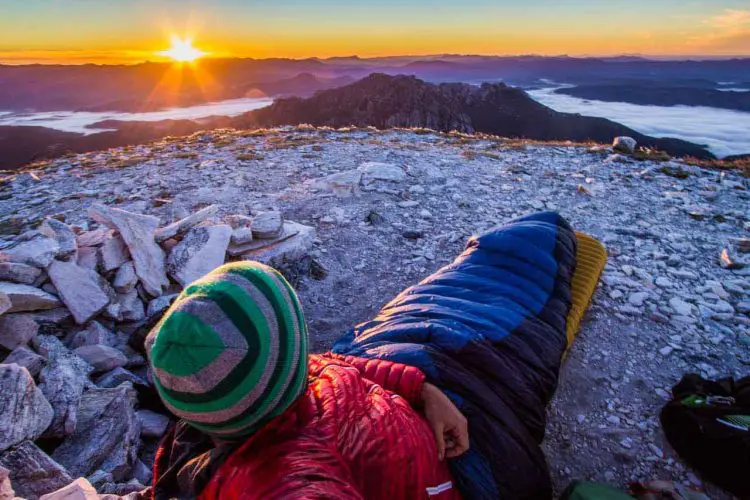
Unlike most of the rest of Australia, the state of Tasmania (which is a part of Australia and not its own country), is filled with spectacular mountains and trekking on-par with that to be found in New Zealand (albeit with a few more snakes).
There are two airports in Tasmania – one in Launceston and another in its capital (and largest) city, Hobart. There is also a ferry terminal in Devonport where you can catch a ferry to/from Melbourne ( and even bring your car); however, flights are oftentimes less expensive. Public transportation to the trailheads isn’t great, so having a car will certainly be helpful when getting around the island, but I didn’t find hitchhiking there to be terribly difficult (just remember to smile).
If you’ve heard of anything in Tasmania it’s probably the famous Overland Track – which is just the beginning when you start digging into all the trekking the island has to offer.
Any questions, comments, or suggestions? Be sure to get in touch.


Location: Cradle Mountain-Lake St Clair National Park
Length: 49.7 mi / 80 km
Elevation Gain: 4,793 ft / 1,461 m
Max Elevation: 4,100 ft / 1,250 m
Type: One-way hiking track
Difficulty: Easy-Moderate
READ MORE

Location: Southwest National Park
Length: 20.94 mi / 33.7 km
Elevation Gain: 6,562 ft / 2,000 m
Max Elevation: 4,669 ft / 1,423 m (Mount Anne)
Type: Loop
Difficulty: Strenuous
READ MORE
Location: Southwest National Park
Length: 51.8 mi / 83.4 km
Elevation Gain: 8,287 ft / 2,526 m
Max Elevation: 3,815 ft / 1,163 m
Type: Lollipop Loop
Difficulty: Very Strenuous
READ MORE
Location: Franklin-Gordon Wild Rivers National Park
Length: 28.58 mi / 46 km
Elevation Gain: 3,280 ft / 1,000 m
Max Elevation: 4,744 ft / 1,446 m
Type: Out-and-back
Difficulty: Moderate
READ MORE

Location: Southwest National Park
Length: 24.85 mi / 40 km
Elevation Gain: 4,265 ft / 1,300 m
Max Elevation: 4,180 ft / 1,274 m
Type: Out-and-back
Difficulty: Strenuous
READ MORE
Questions? Comments? Suggestions? I’m always looking to improve my hiking guides to make them more useful to anyone wanting to get out and explore. Be sure to get in touch if you have any questions or feedback about any of the hikes here (or anywhere on the site).
Looking for more hiking guides? Check out these equally-awesome trekking destinations.


