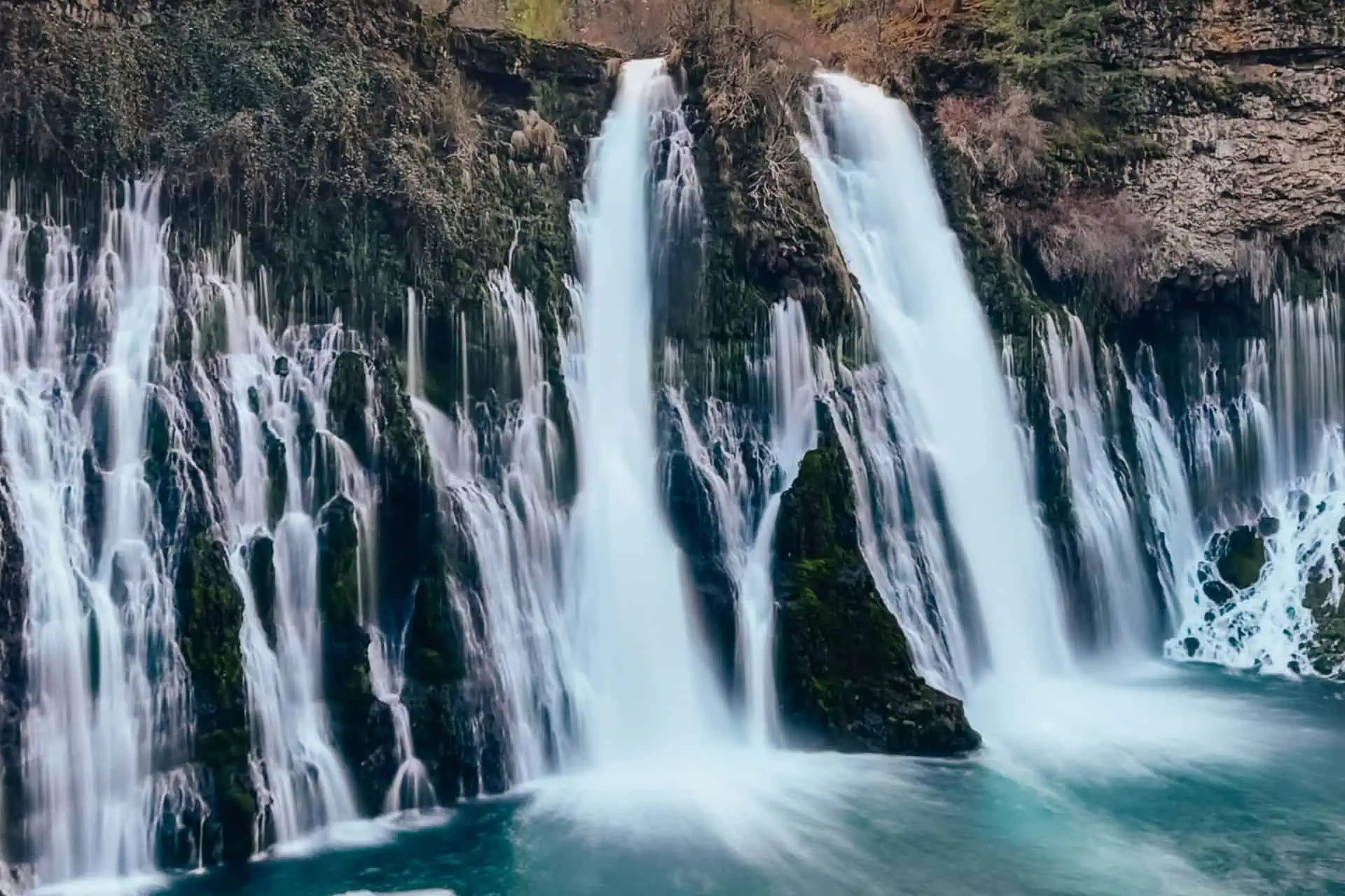
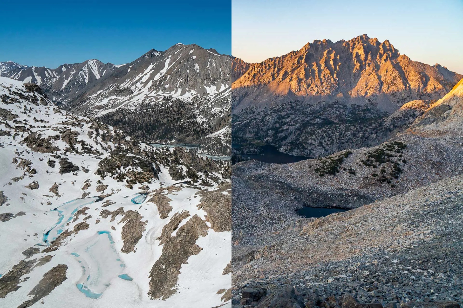
PCT/JMT Zero Day Guide: Mammoth Lakes, California (Sierra)
Everything PCT and JMT hikers need to know to make the most of a zero day (or two) in Mammoth Lakes, California in the Sierra Nevada.

Everything PCT and JMT hikers need to know to make the most of a zero day (or two) in Mammoth Lakes, California in the Sierra Nevada.
Pacific Crest Trail side quests are objectives PCT hikers can choose to accomplish during their hikes, but that don’t need to be completed to finish…
Pacific Crest Trail side quests are objectives PCT hikers can choose to accomplish during their hikes, but that don’t need to be completed to finish…
Pacific Crest Trail side quests are objectives PCT hikers can choose to accomplish during their hikes, but that don’t need to be completed to finish…

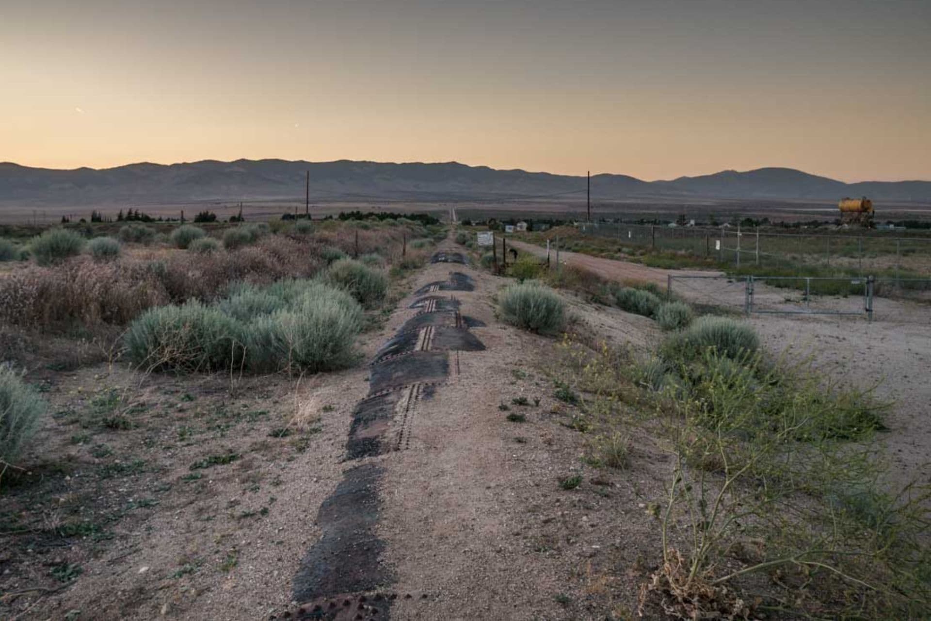
Pacific Crest Trail hikers have a new option for resupply in Northern California at Regeneration Base Camp. Regeneration Base Camp can be accessed via Scott…
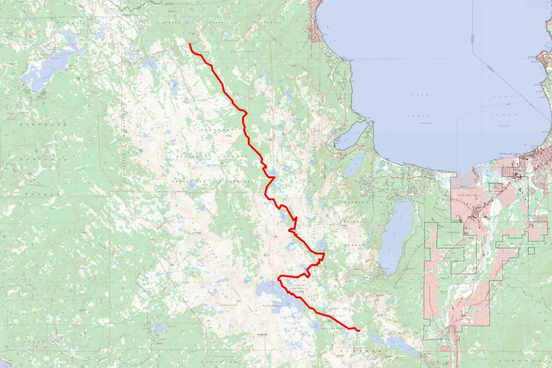
The Forest Service has introduced new food storage regulations in Desolation Wilderness requiring overnight users to now carry “a canister designed to prevent access by…

The Trans-Catalina Trail runs the length of Catalina Island and is a popular backpacking trail just off the coast of Southern California. At around 38.5…
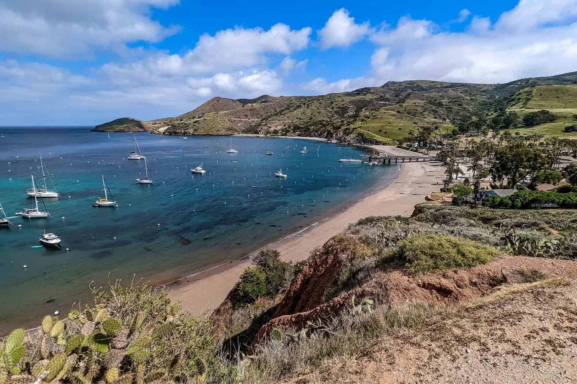
The Trans-Catalina Trail crosses Catalina Island and is a popular and accessible multi-day backpacking trip. One of the most challenging parts of backpacking the Trans-Catalina…
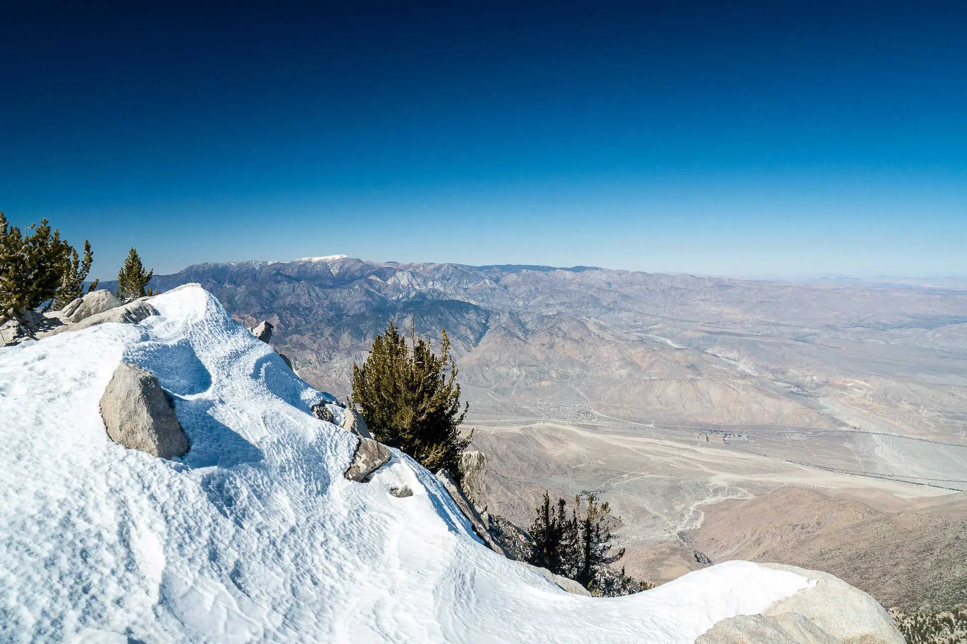
Cactus to Clouds (C2C) is an 18.78 mi / 30.23 km hike from the Palm Springs Art Museum at just 481 ft / 147 m…
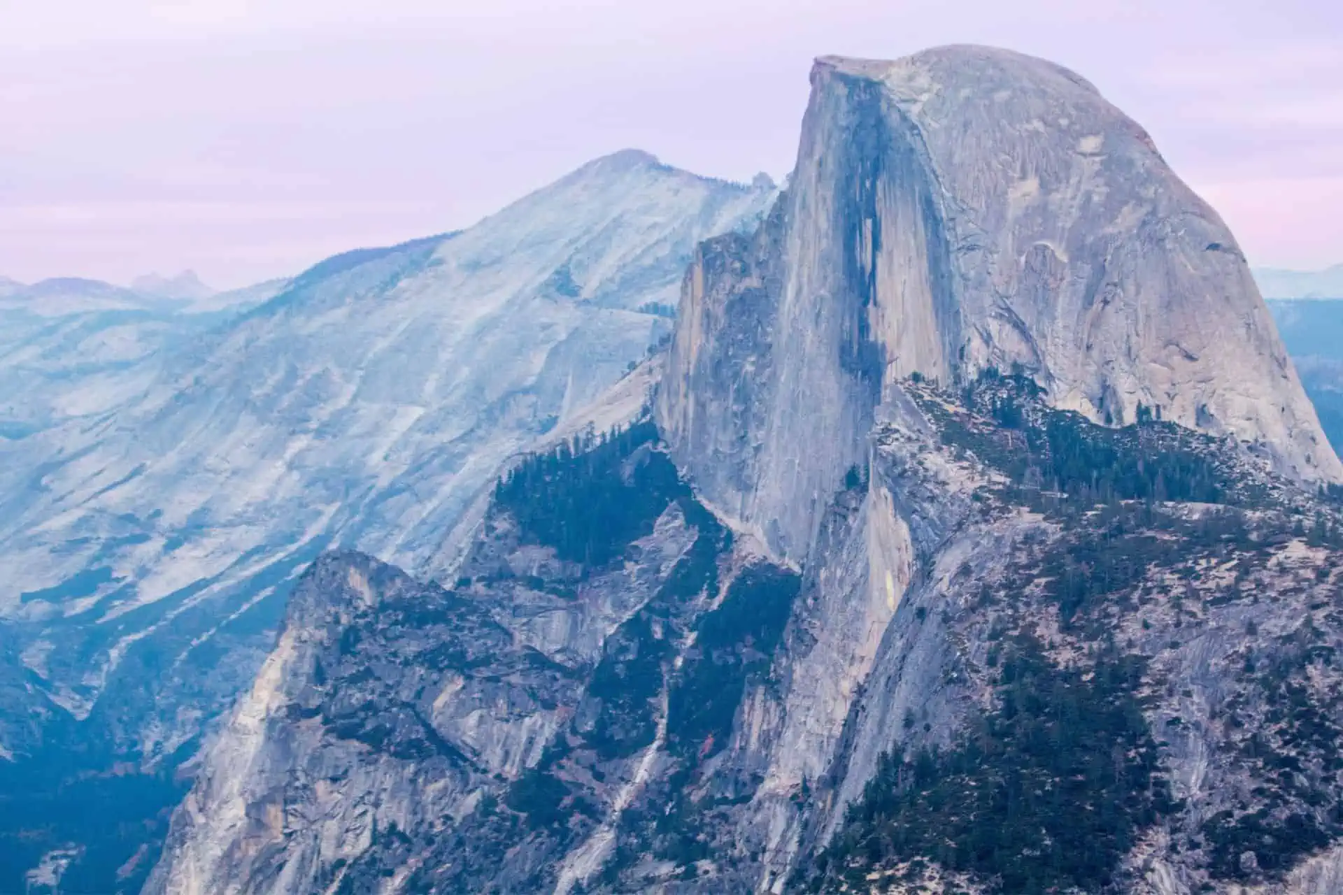
The Southern Sierra High Route (SoSHR) is a 100 mi / 160 km route through California’s Sierra Nevada that runs parallel to (and sometimes overlaps…
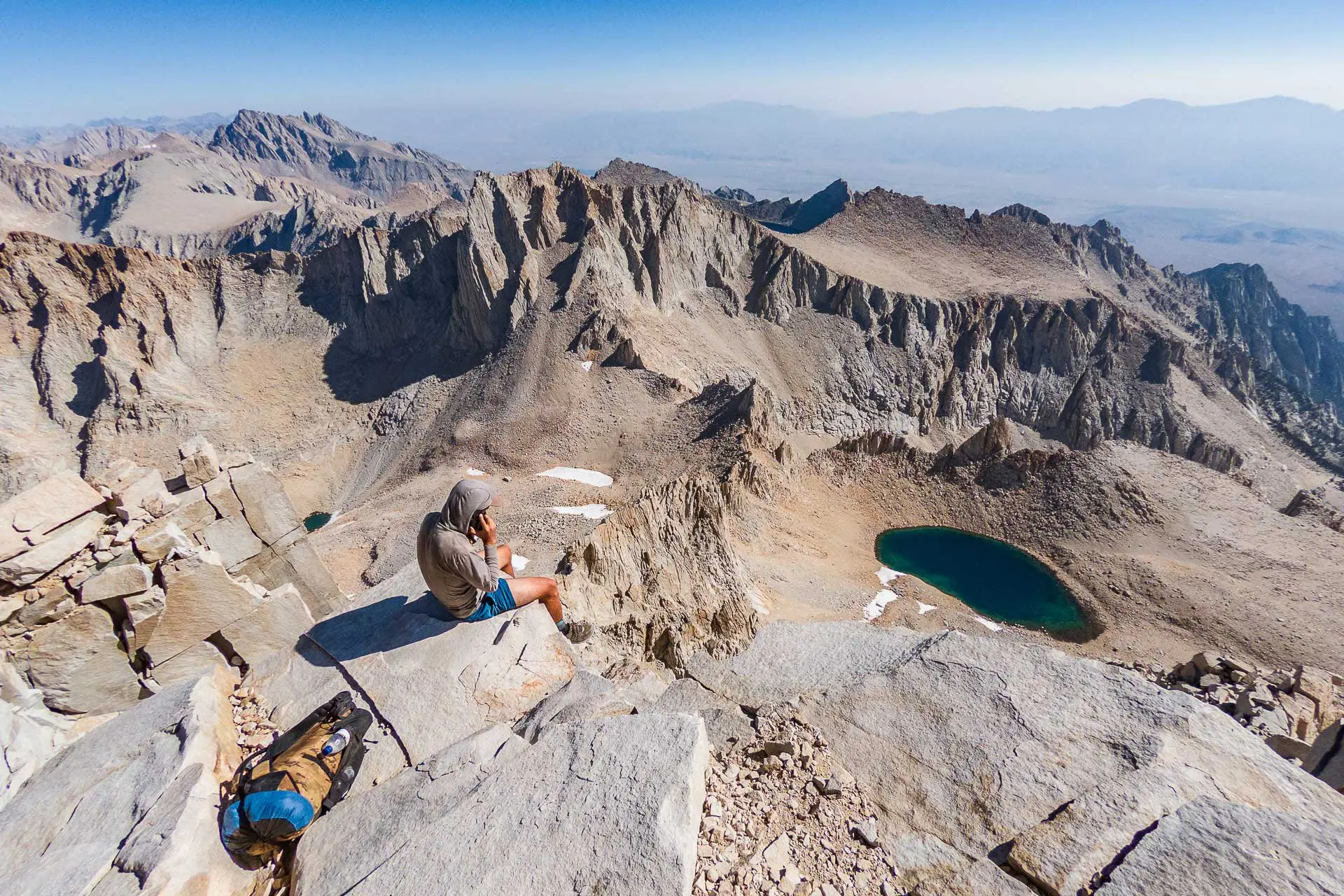
Forester Pass, the 13,153 ft / 4,009 m pass named for the United States Forest Service workers who “discovered” it, is the highest point on…
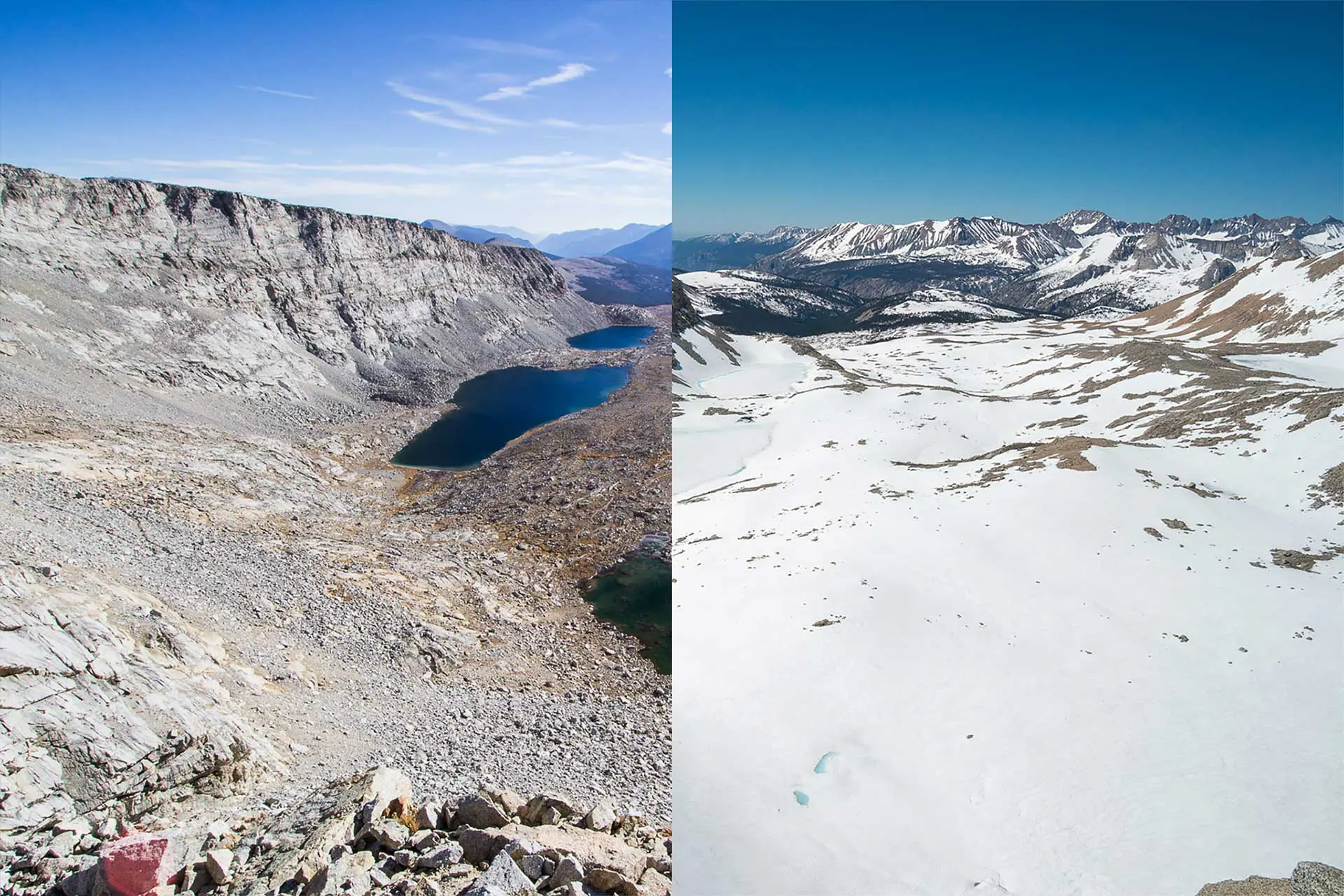
A guide to the 11,949 ft / 3,642 m Glen Pass located on the Pacific Crest Trail and John Muir Trail – snow, approaches, and the crossing.