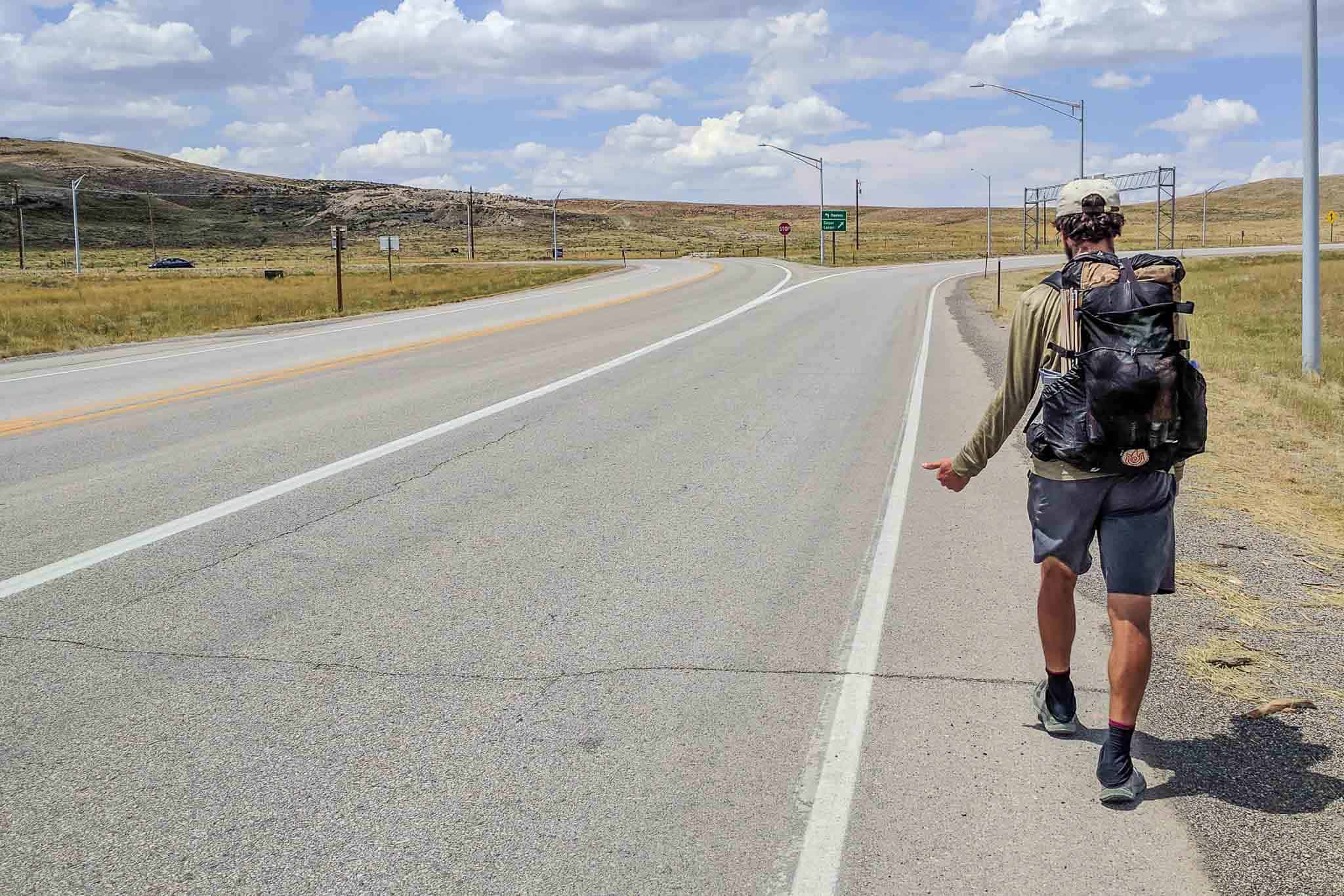
Halfmile’s PCT App Review
NOTE: Halfmile’s PCT app is no longer supported
Halfmile’s PCT app is perhaps the most widely used navigation app on the Pacific Crest Trail. The app is basically a glorified PCT data book with GPS capabilities. Basically, you turn on your GPS, open the app, and then it tells you (in a text readout) what mile you’re at, your latitude and longitude, your elevation, your UTM coordinates, and the corresponding Halfmile paper map you’re on (if you’re also carrying the paper maps).
It will also tell you how far each of the PCT-programmed waypoints programmed into the app is in front and behind you. Halfmile’s PCT app is a great addition to the checklist of any PCT hiker (unless you’re smartphone-less), but if you want to find out why, read on.
NOTE: This app has both iOS and Android versions. Although the two are similar, this review reflects my experience with the Android version of the app.
From the Creator
Here is what Halfmile highlights as being the key features of the app.
- Works without cell phone service (yes, your GPS works without cell service)
- Download and Go — no extra configuration or data needed (no need to download/cache maps or data)
- Simulation mode for hike planning and hiker support (or for when your GPS isn’t working)
- Provides specific “how to walk there” instructions for all points (left foot, right foot, repeat)
- Calculates cumulative elevation gains and losses to all points (so you can torture yourself by repeatedly checking the elevation ahead of you)
- Powerful search function for features like water sources, campsites, and resupply locations (unfortunately, this does not work for locating fellow hikers)
- Calculate which printed map pages contain your location (if you are hiking the PCT and have no idea how to read a map)
- It matches the data and calculations of the iPhone edition exactly. (I thought we just said that Android was better—weren’t you listening, Halfmile?)


The Good
THE PRICE | It’s FREE! And what’s better? There are no ads. However, the free price tag also means that you aren’t allowed to bitch when the app doesn’t work the way you expect it to (you spoiled brat).
THE SIMULATION MODE | Although the Halfmile app does not require a cell signal to work, it does require a GPS signal. However, if you are saving battery by not using your GPS (or the bastard just isn’t working), and you know (approximately) where you are on the trail, you can simulate your position to see what’s ahead of (or behind) you (monsters are behind you). Your position can be simulated with a mile number or by searching for a landmark/waypoint.
THE STATS | The app will calculate the distance, including elevation gain and loss, between you and any one of Halfmile’s waypoints (useful for calculating (guessing) whether you can complete a section before dark or (more importantly) make it to town before the shops close).
THE PAPER MAP DATA | Since Halfmile (the person, not the app) also offers what is widely considered the best paper maps for the PCT, he has kindly integrated this information into his app as well. The app can give you information about where to find your position (or any other waypoint) on the Halfmile paper maps.
THE OFF-TRAIL MODE | When you have GPS connectivity and find yourself off-trail, Halfmile’s PCT app will tell you:
- That you are off the PCT (you idiot)
- How far off the PCT you have wandered astray
- Which direction the PCT is from your current position (hopefully straight back the way you came)
- How you get back to the PCT via a handy arrow
This can be especially useful for negotiating unmarked trail junctions (if your kind fellow hikers in front of you haven’t already marked the way) or tricky sections of the trail that require finding alternate routes (dangerous river crossings or stampedes).


The Okay
THE SEARCH | The app includes a search function to find landmarks and waypoints by name if you don’t know a place’s mile number. I rarely found the search to turn up the result I was hoping to find (i.e. any result at all). You need to enter the waypoint’s name exactly the way it’s registered in the app (it doesn’t behave like a search engine). For example, if you’re looking for Muir Pass, typing “muir” or “muir pass” won’t work – you need to type “muirpass” because that’s how it’s written in the app.
THE INTERFACE | The interface isn’t going to win any design awards, but it is simple, straightforward, and, most importantly, easy to read and understand. Halfmile’s PCT app avoids the mistake of creating a clunky overblown interface while compromising functionality.


The Bad
THE ANDROID/iOS DIVIDE | I do not own an iPhone (in case you haven’t guessed this already), but apparently, the iOS version of this app is more feature-rich than the Android version. The iOS version includes a “Diagram Mode” on the main “Where Am I?” screen that shows hikers a rough outline of the trail around them. Why the hate for Android, Halfmile?
THE MAPS | Why we no like? Because there are no maps. This app is not intended to help you navigate via the trail and terrain because it does not contain any maps. It is instead, as Halfmile describes on his website “a very accurate, location-aware, digital PCT Data Book” – and it excels in this.
THE SECURITY | Using an app like Halfmile can easily give you a false sense of security on-trail. You need to remember that our technology is not flawless (except for our robot overlords that will one day rule us) and that it can stop working (or at least stop working properly) at any time. Don’t fall into the trap of feeling secure on the trail just because you have an app installed on your phone (because, regardless, you’re probably going to die).
Conclusion
Nobody has any right to complain about this app since it’s 1) free, and 2) awesome. The “just okay” and “no like” described here are not necessarily reflective of my own opinions or actual faults of the app (yes they are), but are instead complaints I can imagine people having.
If you’re hiking the PCT with a smartphone, there’s no reason you shouldn’t include this app in your gear list (it’s even ultralight at 0 oz / 0 g). Just download it.