Australia Bike Tour Day 12: The Adelaide Hills
Last night I camped in Tailem Bend, positioning myself within striking distance of Adelaide (where I plan to take a few days off before setting out towards the Outback).
However, I’ve heard some nasty rumors about the roads to this Adelaide place. Apparently there be hills. Hills mean elevation change. Me no like elevation change.
Although I won’t be scaling mountains, any incline, no matter how slight, constitutes a serious hurdle for me and my incredibly heavy bicycle.
I’ve officially made it to the final boss of this chapter: the Adelaide Hills.

As I reward for putting up with this silly up and down (seems more like up to me), I get to see (and get lost in) some interesting little towns nestled within the hillsides, including Hahndorf, Australia’s oldest surviving German settlement.
However, as I approach the home stretch, I notice that it appears the only road leading down the mountainside hillside to my destination is the expressway; I’m not allowed on the expressway.
Since I’ve learned not to trust Google Maps to provide accurate bicycling directions, I stop at every information center I pass, and then at a bicycle shop, and then finally at a liquor store, before discovering that there’s a bike path running nearly parallel to the expressway down the hill.
Before I can get onto said path? More elevation gain.
Huzzah?

Fortunately, my hard work is rewarded, and the final 8 mi / 13 km are literally all downhill.
For the first time this trip, I simply relax and enjoy the ride. But the biking gods won’t allow too much enjoyment, and in typical “my luck” fashion, it begins to rain halfway down.
Still, not having to ride up this thing (and some crazy people are) may be worth having ridden into the wind the entire way from Melbourne.
At 68.6 mi / 110.3 km with 4,314 ft / 1,315 m of elevation gain, today saw my best effort of the trip.
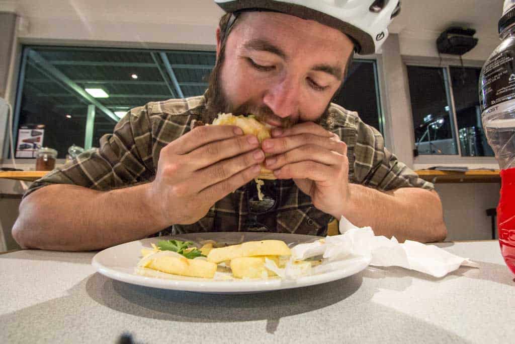
I think it’s pizza and beer time.
- Start: Tailem Bend, South Australia
- End: Adelaide, South Australia
- Day’s Distance: 68.6 mi / 110.3 km
- Total Distance: 502.2 mi / 808 km