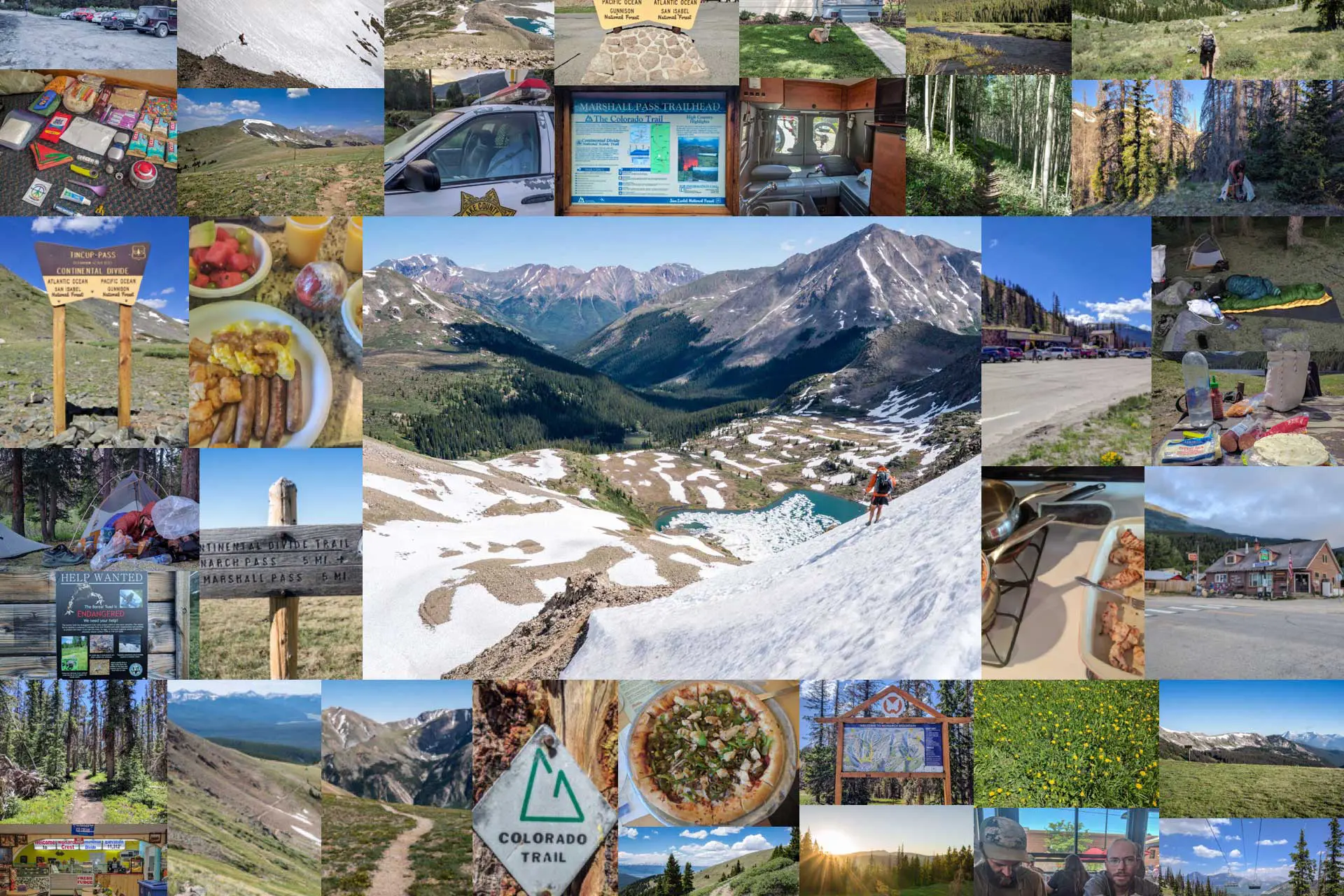
Getting To The CDT Southern Terminus
The Southern Terminus of the Continental Divide Trail – where Mexico meets New Mexico and where many long journeys begin and end (and where even more shorter journeys begin).
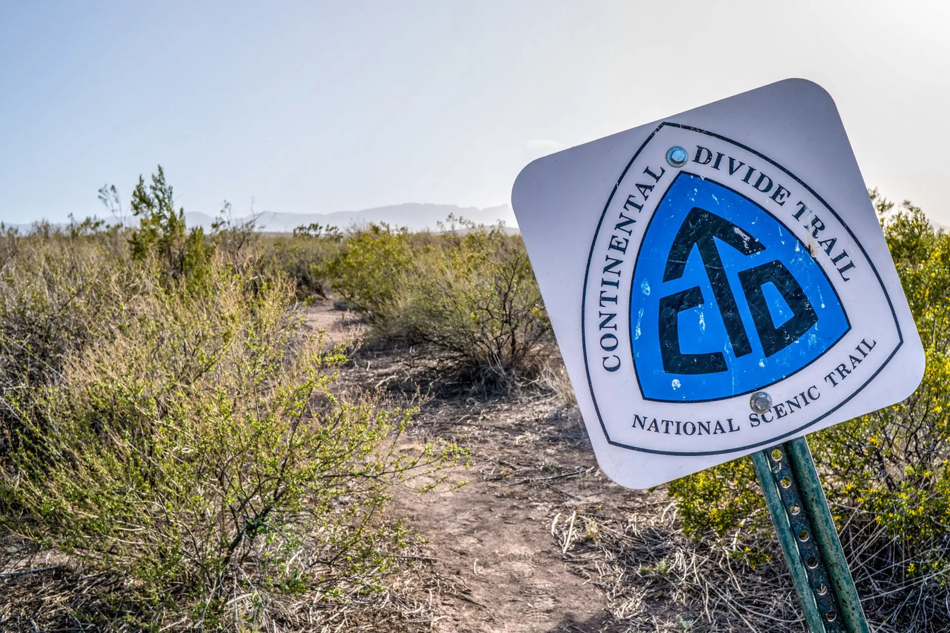
Contrary to what you may assume, the CDT Southern Terminus is not as straightforward a place as you may think. In fact, there are three southern termini (or terminuses – both are acceptable): Columbus, Antelope Wells, and Crazy Cook – all located in the New Mexico Bootheel (in the southwest corner of the state). The most popular and most official of the termini (aka where you should start)? Crazy Cook.

The Crazy Cook Terminus is where you will find the very fancy and official-looking Crazy Cook Monument. Why is it called Crazy Cook? I don’t know. I assumed that the “Cook” in this context referred to a name, but then I saw Spanish-language Google Maps and it was labeled “A La Cocina Loca”. For those not down with Spanish, this means Crazy Cook, but “cook” is not a proper noun Cook, it’s just a regular noun cook (aka a person who prepares food for eating).
So which is it? A person who does crazy things in the kitchen or a person known as Cook? It doesn’t matter. These two options aren’t mutually exclusive, so we can just imagine it’s both (but in the process of researching this I did read tucked away on the CDTC website that it was, in fact, a crazy kitchen person who killed someone).
But who cares? That’s not important. What’s important is how to get there.


Getting To New Mexico
The closest town to the Crazy Cook Monument is Lordsburg (map).
The trail actually goes through Lordsburg and so hikers (usually) end up visiting this place twice (lucky us). There is no airport in Lordsburg. The closest major airport to Lordsburg is located to the west in Tucson, Arizona. From Tucson, it’s possible to take a Greyhound (god, help you) or the Amtrak (train) to Lordsburg. Other major cities near Lordsburg include Albuquerque, Santa Fe, and Phoenix (Arizona).
Getting To Crazy Cook
So, now you’re in Lordsburg (huzzah!). What are your options for getting the Crazy Cook? If you aren’t interested in walking there, then you have two options: pay $120 and take the Continental Divide Coalition shuttle or arrange your own transport.
Most hikers take the shuttle. You can find information on taking the CDTC shuttle here. However, if you’re like me (aka you have a dad in California willing to drive to bumfuck New Mexico), then maybe you want to skip the shuttle. This is doable. It simply requires a bit more work and a car with some clearance (and possibly four-wheel drive).


Driving Yourself To Crazy Cook
For the drive out to Crazy Cook, I was convinced by the little information that I could muster that we would most absolutely need a four-wheel drive vehicle. Since we couldn’t find anyone willing to let us borrow their car for an adventure across state lines and into the desert, we had to rent (if interested in renting, know that no company would guarantee me a four-wheel drive).
We ended up with an all-wheel drive Kia Sorento (driven from Los Angeles). The all-wheel drive would have been useful (or even necessary) had it been raining recently – many parts of the road could easily flood or turn to mud (an abandoned sedan near the monument attests to this). However, what I should have been looking for in our Crazy Cook transport was a vehicle with high clearance.
We did a lot of bottoming out on the way to the border, and although we eventually made it, it wasn’t the smoothest of rides. That being said, based on my experience, in dry conditions, a high-clearance two-wheel drive vehicle could make it to Crazy Cook. Note: You cannot rent a car in Lordsburg. The closest city with rental cars is Silver City (the second town most northbound CDT hikers pass through) located 44 mi / 71 km north on Highway 90 (map).


Driving Directions
If you simply plug “Crazy Cook Monument” (or if you’re searching in Spanish, “Monumento A La Cocina Loca”) into Google Maps, then it will show you the location of the CDT Southern Terminus.
But, if you attempt to follow the driving (or walking) directions, then you will probably end up lost in the desert. The CDTC has a map (here) with rough directions from Lordsburg to Crazy Cook. Hopefully, this map (which includes Antelope Wells and Columbus) will serve as a bit better of a guide for those trying to drive down to the beginning of their dooms.
If you’re more of a fan of written directions, then you can try these (poached from the CDTC):
- Take Interstate 10 east from Lordsburg
- Take Exit 49
- Take NM 146 South to Hachita
- Turn left on NM 9
- Turn right on NM 81
- Continue for ~11 mi / 17.7 km and before the curve in the highway, turn left onto the graded dirt road
- ALL ROADS BEYOND THIS POINT ARE DIRT
- Go ~3 mi / 4.8 km and turn right
- Go ~3 mi / 4.8km and turn left
- Follow this road ~20 mi / 32.2 km around the base of the Big Hatchet Mountains to a windmill
- Turn left and go ~2 mi / 3.2 km
- At a cattle guard, there is a concrete monument – the CDT is 200 yds / 183 m north along the border fence from this monument