Australia Bike Tour Day 2: Why Google Maps!?
On my first morning waking up on the road I am blessed with not only sore legs but a throbbing knee as well.
Ten seconds on the bike confirms it – my knee will be a huge problem on this trip.
Probably should have done some training before attempting this.
Oh well, too late now.

Now comes yet another obstacle to my proposed riding of a bicycle across Australia: Google.
Yes, it would seem that our go-to solution for many of life’s answers (What do you call a group of ferrets? Who won silver for women’s 800 m freestyle in the 1976 Olympics? Why do wombats poop cubes?) comes up short when providing accurate bicycling directions.
Google’s bicycling directions are currently in beta, which, if you don’t know, basically means “completely ignore this feature’s existence.”
Unless I want to cycle exclusively on unpaved roads (or unsealed roads, as they call them Down Under) and take chances down streets labeled “No Thru Street,” then the Google Maps bicycling feature is best left untouched.
Still, it was difficult for me to abandon my Google overlords.

The bicycling directions promise roads with less traffic, faster routes, and less elevation gain, so I decided to give them a second, then a third, then a fourth chance.
No, it wasn’t until I was instructed to cycle down a street that was, in reality, not a street at all but instead, just a field of grass (and a fenced-off field of grass at that) that I decided it was time to let go of the one thing in my life, I thought I could still trust.
At least I was never forced to double back.
Driving directions, it is.
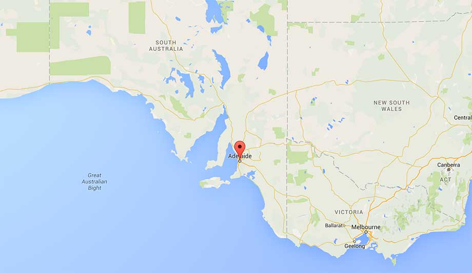
- Start: Little River, Victoria
- End: Clarendon, Victoria
- Day’s Distance: 45.08 mi / 75.55 km
- Total Distance: 90.36 mi / 145.42 km