
Japan Alps Traverse: Route Expectations
The start of my Japanese Alps Traverse is less than a week away and I have been looking into the route a bit more since, you know, I should probably know where I’m going.
My starting point will be Ichiburi Station (市振駅), a train station) in the south of Niigata Prefecture (新潟県). This station is located on the coast which is semi-important to me since it will be cool to trace a route that cuts all the way through Honshu (本州) – Japan’s largest island.
Speaking of that line I intend to draw, I don’t have a great idea of where my ending point for the traverse is going to be. I know I want it to be on the coast in Shizuoka Prefecture (静岡県), but I don’t have a specific point picked out.

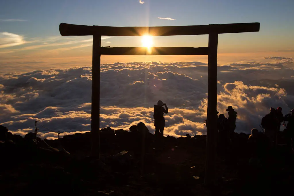
Ideally, it will be somewhere that I can easily access a trailhead for Mount Fuji (富士山) since the plan is to climb Japan’s tallest mountain (12,388 ft / 3,776 m) from sea level (0 ft / 0 m) following my exit from the Southern Alps (南アルプス).
And then if time permits and I’m still keen on walking, I plan to walk to Tokyo (東京) from the summit of Mount Fuji (富士山). Hopefully, I can take another route down from the summit (I haven’t looked too much into this, but I am sure there will be plenty of information once I get to that area). After making it down, I don’t know how I would walk to Tokyo. I doubt there’s a hiking trail, but maybe there’s a bicycle path?
It’s only 73.3 mi / 118 km from Mount Fuji’s summit to Tokyo (according to the Google).
But enough about what I don’t know. Here are some things that I do know (or that I at least think I know):
- The first peak of the trip will be Shiratoriyama (白鳥山) at 4,472 ft / 1,363 m
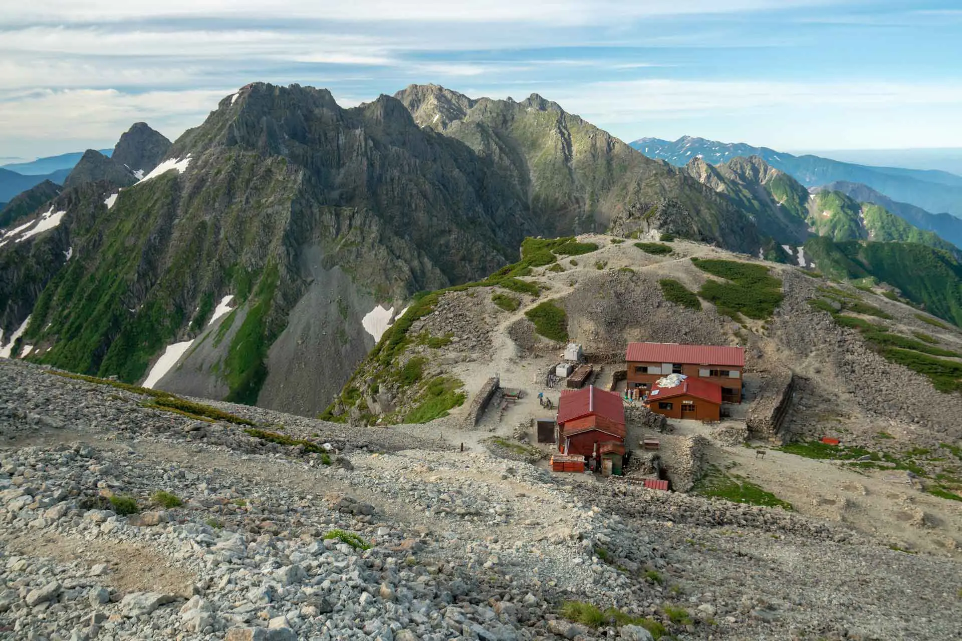
- The first resupply point will be Tateyama (立山). There’s a large tourist center on the top of this mountain, but I am not sure what the resupply options will be like so I may have to take a bus down to the train station at the base of the mountain to head into town.
- Tateyama (立山) is on the other side of a large valley. This valley can be crossed via an expensive ride on the Tateyama Kurobe Alpine Route or a long hike down, a boat ride across a lake, and a long hike up. I guess what I do will depend on how much food I have when I get here.
- After Tateyama (立山), there are two different ridges. I can dive back down to the valley and climb back up to the eastern ridge I will be on originally, or I can head south from Tateyama (立山) for about a day before the two ridges meet. I plan on taking the western ridge (at the suggestion of some experienced Japanese hikers I spoke to).
- I plan on hitting Mount Ontake (御嶽山), Japan’s fourteenth highest mountain (10,062 ft / 3,067 m) and a volcano that erupted suddenly in 2014 killing 63 people) after exiting the Northern Alps (北アルプス).
- I do not know how I will be getting from the eastern slopes of Mount Ontake (御嶽山) to the northern part of the Central Alps (中アルプス), but it will probably be at least a day of road walking.
- Speaking of road walking, I also do not know the exact route I am going to take from the southern end of the Central Alps to the southern end of the Southern Alps (南アルプス).
…and it looks like I’ve devolved into not knowing things again.
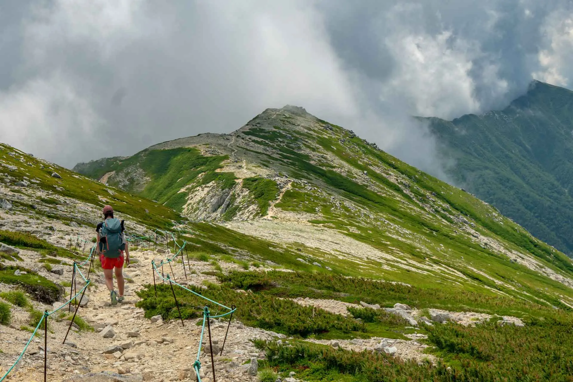
Fortunately, I have spent a lot of time in the Northern Alps (北アルプス) so I know more or less what I will be getting myself into at the beginning of the hike, but as things progress I become more and more unsure about where I’ll go and what I’ll do (and I’ve been told that the Southern Alps, aka the end of the hike, are some of the most rugged terrains).

If you’ve been paying attention, then you’re probably wondering why I will be heading from the southern end of the Central Alps (中アルプス) to the southern end of the Southern Alps (南アルプス) instead of continuing a southbound line toward my destination.
This is because the Central and Southern Alps are nearly parallel with one another (the Central Alps are small compared to the Northern and the Southern Alps), and it is not possible to draw a straight and tidy line through the Central and Southern Alps.
Fortunately, the Southern Alps have two main ridgelines (both running north-south) separated by a valley in the middle and connected by Kitadate, Japan’s second highest mountain, in the north.
The plan is to hike northbound via the western ridge to Kitadate (北楯), Japan’s second highest mountain, before then turning around and heading south via the eastern ridge.
Once I’m out of the Southern Alps, I am not sure where I will go, but after making a beeline for the closest konbini I will likely head straight to the coast before turning around and finding my way to Mount Fuji.
I already have a flight booked out of Tokyo since my participation in a wedding has been demanded at the end of the summer, and I am hoping that time will not be an issue; I have six weeks to complete this journey.
One of my goals in hiking this route is to open it up to other people interested in getting off the more well-known trails around the world. Japan has some incredible mountains and it’s a ridge-walkers paradise (which is great except for those summer thunderstorms).
Hopefully, I don’t die out there.


Amazing! Looking forward to see how it went
I’ve often thought about a hike like this. In my route-planning research (since armchair research is all I have time for), I came across the Trans Japan Alps Race that follows a very similar route. Perhaps the map for it could help you (or not), here’s the link for 2016: http://www.tjar.jp/gps/gmap.php?e=20160807a&maptype=cj4
Seems they opt for a lot of road walking between the northern and southern alps, I’d be interested if you find a better way, as well as how you accomplish your “fuji detour”!
Looking forward to your report (should you choose to write one).
I saw a lot of info on the TJAR, but they skip a lot of peaks and, you’re right, a lot more road walking. Hopefully, I will be getting out my info on my hike soon! Try to keep me working, if you can.
Sneaky. You pretend you only have a fraction of clue where you’re going, but actually you’ve done your fair share of research ;-)
Good luck finishing your hike (i.e. not dying)!
That’s because I responded to your comment after having finished the hike :). Spoiler alert: didn’t die.
So exciting, good luck!
Thank you!
Now I’m excited!