Best Section Hikes of the PCT: Oregon
After 1,689.2 mi / 2,718.5 km, the Pacific Crest Trail enters its second state: Oregon (if you’re hiking northbound, that is).
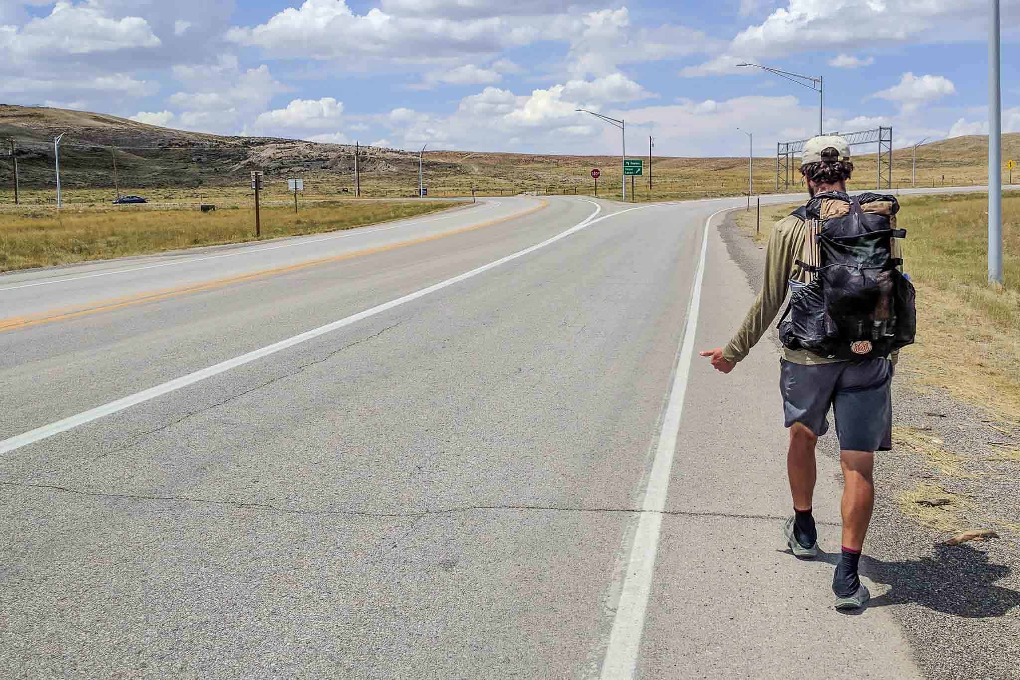
Considered by many to be “the easiest section of the Pacific Crest Trail,” crossing the Oregon border from California represents more than just the point in the trail where marijuana becomes legal for recreational use.

Oregon Overview
So what does Oregon have other than laws permitting the use of recreational marijuana and a lack of international borders?
A lot of lakeside resorts and things named after US Presidents, that’s what.
Oregon is also a great place for PCT section hikes because there are plenty of resupply points, road crossings, and alternates that make loops a lot easier than in sections like Northern California.
Note: I was conservative on the mileage for many of these hikes and typically did not assume more than 12 mi / 19 km per day. However, if you’re looking for more of a challenge, I’ve included extensions at the end of each section so that you can conquer as much of the PCT as possible. In the event you’re saying, “That’s not conservative!” I’ve also included some ways to shave miles for most of the hikes.
For planning and navigating all of the Pacific Crest Trail section hikes listed below, I encourage you to check out FarOut Guides. They make an excellent app with waypoints, GPS functionality (even without service), distances, side trails, and more.
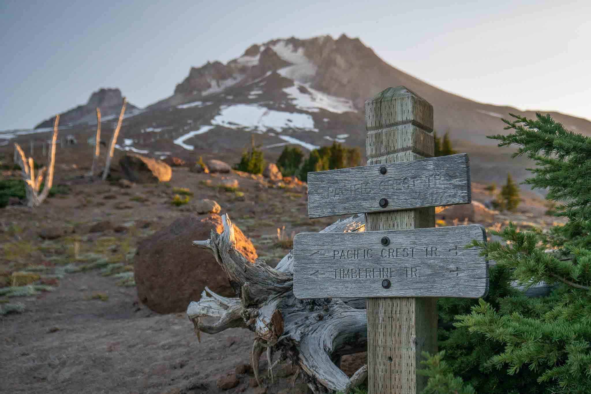
A Weekend: Cascade Locks, Eagle Creek Loop
Start: Cascade Locks (PCT 2,144.4)
End: Cascade Locks (PCT 2,144.4)
Length: 31.9 mi / 51.3 km
Elevation Gain: +9,070 ft / 2,765 m (clockwise)
Elevation Loss: -9,090 ft / 2,771 m (clockwise)

Yes, this hike is longer than the promised 12 mi / 19 km per day average (assuming a two-day weekend), but this hike is awesome, so save it for a three-day weekend if you have to (I suggest another weekend hike below and although slightly shorter than this one, it still violates the promised daily mileage).
This hike is a loop that starts and ends in Cascade Locks, Oregon. The hike follows the PCT 16.5 mi / 26.5 km south to the abandoned Indian Springs Campground (PCT 2,125.1 – 4,245 ft / 1,294 m) and then picks up the 15.4 mi / 24.8 km Eagle Creek Trail heading north back to Cascade Locks.
You can do this hike in either direction, but I suggest hiking it clockwise because 1) the Eagle Creek Trail is a lot more scenic than this section of the PCT (best for last), and 2) because the Indian Springs Trail that connects the PCT/Indian Springs Campground to the Eagle Creek Trail is a lot steeper than the PCT and hiking up that would suck (that is if you don’t have knee problems and prefer uphill to downhill hiking).

The highlight of this trek is Tunnel Falls, a 130 ft / 40 m waterfall with a tunnel behind it 60 ft / 18 m above where the falls plunge into the stream below.
The Eagle Creek Trail passes eight falls in total, with the option to detour to as many as five more.
If you choose to hike between Cascade Locks and the Eagle Creek trailhead, you will take the Gorge Trail #400 (3.2 mi / 5.2 km). You can shave this mileage from the hike by getting a ride/hitch to/from the Eagle Creek trailhead (or by leaving one car in Cascade Locks and another at the trailhead).
Alternate Hike
You can also make a 30 mi / 48.3 km loop hike by starting at Mazama Village (PCT 1,818.4) and hiking clockwise after the PCT (or sometimes called the “Equestrian PCT” in this section) 16.2 mi / 26 km to where it meets the “Hiker PCT” at PCT 1836.7.
Then, you can take the Hiker PCT (Rim Trail) south to meet the rim of Crater Lake and follow it south back towards Mazama Village.
Four or Five Days: Shelter Cove, Oregon Skyline Trail Loop
Start: Shelter Cove Resort (PCT 1,904.1)
End: Shelter Cove Resort (PCT 1,904.1)
Length: 48.8 mi / 78.5 km
Elevation Gain: +5,628 ft / 1,715 m (counter-clockwise)
Elevation Loss: -5,894 ft / 1,796 m (counter-clockwise)

Hooray, another loop!
This loop, starting and ending at Shelter Cove Resort, follows the PCT south to Forest Road 60, near Windigo Pass (PCT 1,875.8). Then it follows the unpaved road east for .6 mi / 1 km and then picks up the Oregon Skyline Trail (OST), heading back up to Shelter Cove.
This trail passes plenty of water and lakes.
There’s not much climbing or descending along this loop, and most of the up and down can be found along the PCT portion. The OST section is very mild as far as climbs go.

The OST passes Crescent Lake (OST 9.2 – 4,898 ft / 124 m) and Diamond View Lake (OST 15.3 – 5,807 ft / 1,770 m) – each with good camping, but the latter with great views of Diamond Peak as a bonus.
Shelter Cove, 2.2 mi / 3.5 km south of the PCT, has camping, cabins, and a small store. However, it’s better to come there ready with your hiking supplies. The store has a very limited selection and is quite expensive.
Shelter Cove phone: +1 (541) 433-2548
Shelter Cove website: http://www.sheltercoveresort.com
A Week: Elk Lake Resort to Olallie Lake
Start: Elk Lake Resort (PCT 1,950.1)
End: Olallie Lake (PCT 2,043.1)
Length: 93.1 mi / 149.8 km
Elevation Gain: +15,285 ft / 4,659 m
Elevation Loss: -15,571 ft / 4,746 m

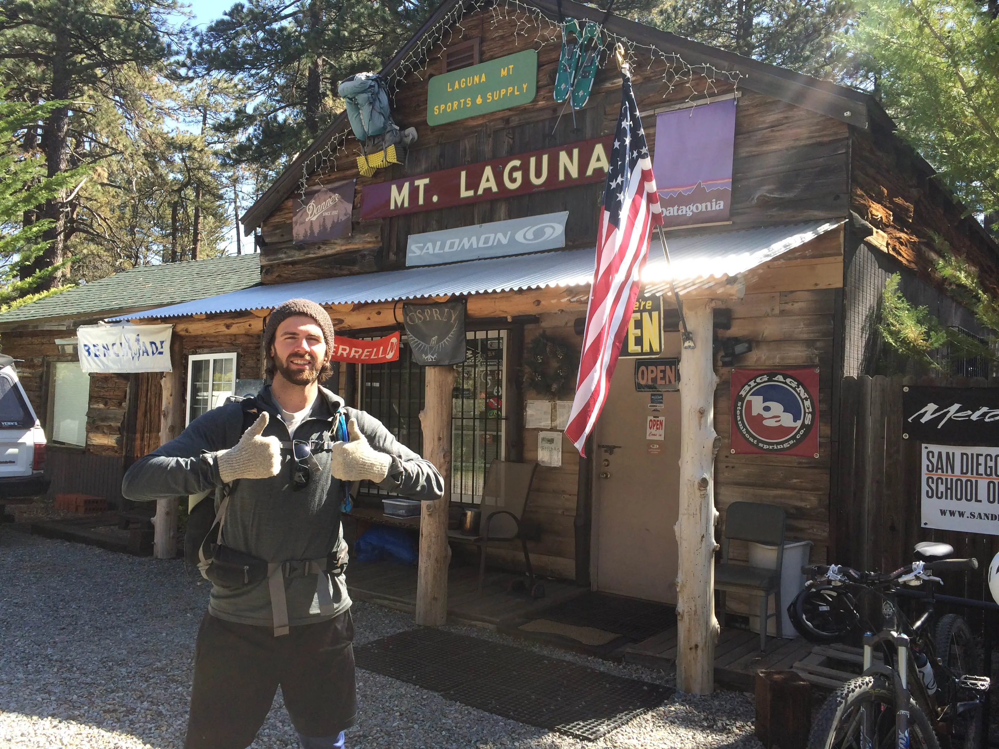
Elk Lake Resort is a small resort 1 mi / 1.6 km east of the PCT with a small store, restaurant, camping, and cabins. From the resort, you can hike west on one of three trails to meet the PCT – all meet the PCT in relatively the same area, so it’s not that important which you choose.
This hike follows the PCT north from Elk Lake through the Three Sisters Wilderness (where I encountered a frightening thunderstorm.)
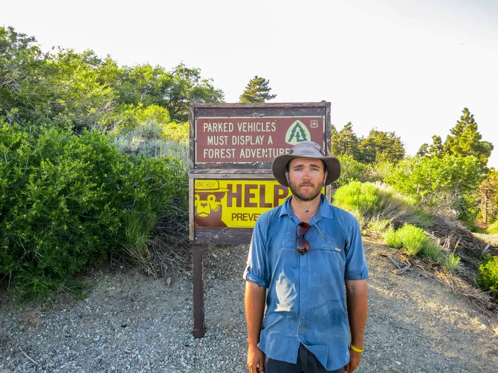
At PCT 1,969 – about 19 mi / 30.6 km into the hike – the PCT enters the Obsidian Limited Entry Area (OLEA). I’m not clear on whether you are required to have a PCT permit (which, if you’re only doing this hike, you cannot get) or an OLEA permit to enter here since the OLEA site says that thru-hiking on the PCT is allowed.
Regardless, you are not allowed to camp in the Obsidian Limited Entry Area, which runs from PCT 1,969 to 1,971 (2 mi / 3.2 km).

Ten miles (16 km) after exiting the OLEA, the trail passes through an expansive lava field and then crosses Highway 242.
From here, you can reach the towns of Bend (37 mi / 60 km southeast) and Sisters (15 mi / 24 km east) if you need to bail on your adventure. If you’re not bailing then make sure that you fill up on water at Lava Camp Lake (.5 mi / 800m NE of PCT 1,980.1 – 5,282 ft / 1,610 m). Your next water source won’t be for another 13 mi / 21 km at Big Lake Youth Camp.
Continuing north through the lava fields and into the Mount Washington Wilderness.
Past Big Lake Youth Camp, you will need to pay attention to your water again when you reach the pond at PCT 1,996.5 (4,796 ft / 1,462 m) because the next water may not be until you reach Koko Lake 11.6 mi / 18.7 km later. During this stretch, you will enter the Mount Jefferson Wilderness and be greeted by views of Three Fingered Jack and Mt. Jefferson as you make your way clockwise around the latter.
Past Jefferson Park, it’s another 11.4 mi / 18.3 km to Olallie Lake.
Elk Lake phone: +1 (541) 480-7378
Elk Lake website: http://www.elklakeresort.net
Olallie Lake phone: +1 (503) 853-3481
Olallie Lake website: http://www.olallielakeresort.com
Extension
Want to extend this hike for more miles? Cool. Read on to my “two-week” suggestion, which also begins at Elk Lake and heads north before continuing to the Oregon/Washington border in Cascade Locks.
Two Weeks: Elk Lake to Cascade Locks (via Eagle Creek)
Start: Elk Lake Resort (PCT 1,950.1)
End: Cascade Locks (PCT 2,144.4)
Length: 190.3 mi / 306.3 km
Elevation Gain: +30,626 ft / 9,335 m
Elevation Loss: -35,697 ft / 10,875 m

Oregon isn’t incredibly large, and as you’ll see below, the entire state could be accomplished in the span of two weeks if you were really crushing it.
However, chances are that you want a more leisurely pace for your hike, so I instead suggest that you begin at Elk Lake and make your way north to Cascade Locks at the Oregon/Washington border (via the Eagle Creek Trail detour).
I’ll start this explanation at Olallie Lake. If you want the DL on Elk Lake to Olallie Lake, then check out the “one week” suggested hike above this one.

From Olallie Lake, head north through some easy hiking with very little elevation change (relative to the rest of the PCT).
At PCT 2076.3 (3,239 ft / 987 m), the trail passes Little Crater Lake. This small lake is .25 mi / 400 m E of PCT and is a nice place to check out some incredibly clear water and take a break as day hikers trickle past to take a gander at this natural phenomenon.
After Little Crater Lake, the trail does a bit of climbing and descending before reaching Highway 35 near Barlow Pass (PCT 2,089.2 – 4,164 ft / 1,269 m) before climbing steeply up to Timberline Lodge (.2 mi / 320 m S of PCT 2094.5 – 5,924 ft / 1,806 m) – it’s where the exterior building shots for The Shining were done (in case you’re into that).

Passing Timberline, the trail descends, and you’ll have the opportunity to take Timberline Trail #600, aka the Ramona Falls alternate at PCT 2,104.4 (3,323 ft / 1,013 m). It’s a 2 mi / 3.2 km trail that bypasses an equal distance on the PCT to instead swing my Ramona Falls (it’s worth a look).
Hiking north another 18.4 mi / 29.6 km on the PCT after you pass the northern junction of the Ramona Falls alternate, you will reach the abandoned Indian Springs Campground (PCT 2,125.1 – 4,245 ft / 1,294 m). Take the Indian Springs Trail down to meet the Eagle Creek Trail and be ready for a large descent and a lot of waterfalls (including the famous – and awesome – Tunnel Falls).
You can then hitch or take Gorge Trail #400 (3.2 mi / 5.2 km) over to Cascade Locks.
Elk Lake phone: +1 (541) 480-7378
Elk Lake website: http://www.elklakeresort.net
Olallie Lake phone: +1 (503) 853-3481
Olallie Lake website: http://www.olallielakeresort.com
Extension
If you want to extend this hike, then chances are you’re looking for a challenge.
Since you can’t start any farther north in Oregon, the only place to go is south. Why not start your hike from where the PCT passes near Callahan’s Lodge (PCT 1,716.2) just outside Ashland and then try to make it up to Cascade Locks in two weeks?
Basically, the entirety of Oregon (428 mi / 689 km), averaging 30.6 mi / 49 km a day. The Oregon Challenge, as it is known among some PCT thru-hikers, is an excellent way to see as much of the PCT (and of Oregon) as possible.


Hi Mac,
Me and my buddies are thinking of doing the Elk Lake–Cascade Locks trail but in reverse this upcoming summer. Am I right to think we’ll need the Central Cascades Wilderness permit? Can you point me in the right direction/give best practice on attaining one? We are a group of likely 3-5 people. Thanks!
You can get those permits at Recreation.gov
Link us to parts 2 & 3! (Sarah K)
I am assuming you mean the Sierra and NorCal.
Sierra: https://www.halfwayanywhere.com/trails/pacific-crest-trail/best-pct-section-hikes-sierra/
NorCal: https://www.halfwayanywhere.com/trails/pacific-crest-trail/best-section-hikes-pct-norcal/
As someone who lives by the Eagle Creek trailhead, a word of warning. On late spring to summer day, especially hot ones, the parking runs out FAST! Punchbowl is a local favorite swimming hole and it is common to see people hiking between the trailhead and Punchbowl in flip-flops. The trail is very busy on these day between these two points. My husband and have attempted this trail three times, first time getting almost the last stop that we thought was legal, but had to hike about a mile plus just to get to the trail head. Second time, having taken off time to backpack for the weekend, and to find another trail as there was NO parking. Third time was a Friday morning and we had a ton of parking.
Excellent point. Too bad it’s been closed because of the 2017 fires.
Hi thanks for your article! I live in Oregon and want to go hiking on spring break. Is there any section of the trail where there isn’t much snow at this time of the year? Section C, D or E are preferable. Thanks!
It’s difficult to say where the snow will be this far out. I would just wait until within a week or two of your starting date and look at your options then.
I see. Thanks again!
Comment to update, as requested … one good thing came out of the election at least!
THANK YOU!