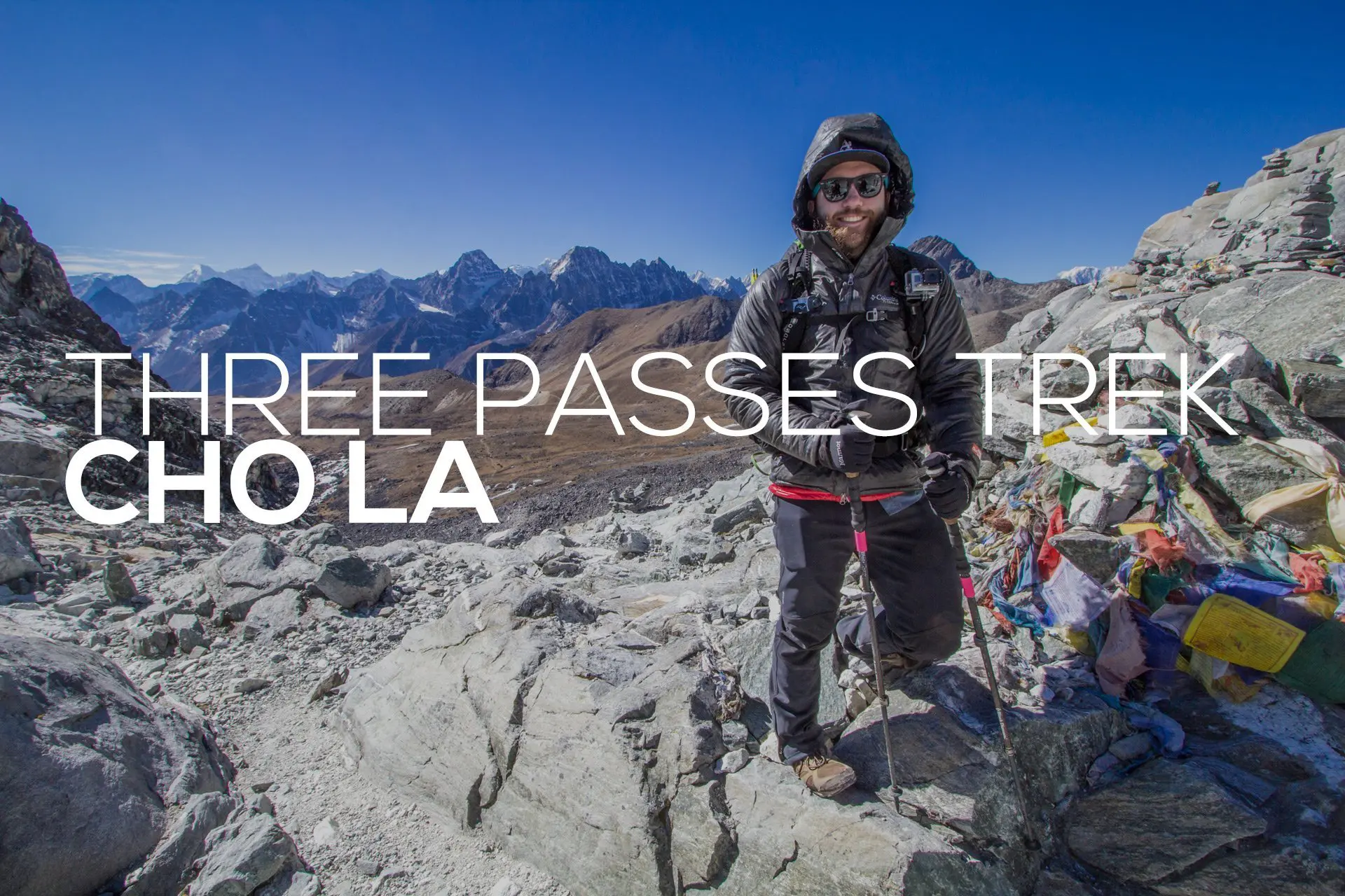
Nepal’s Three Passes Trek: Cho La
Cho La is the second pass of Nepal’s Three Passes Trek (regardless of which direction you are heading) and is probably the most frequently crossed by trekkers in the Everest Region.
It connects the two most popular valleys for trekking in the region: that containing Everest Base Camp and that containing Gokyo. If you’re looking for a way to extend a trip to Everest Base Camp, a trip over Cho La to Gokyo is probably your best bet (besides hiking over Everest and into Tibet). The reverse (Gokyo to EBC) is also possible (though most people head west over the pass, i.e. EBC to Gokyo).
It’s often talked about in terms of its glacier crossing (which is also used to scare people out of attempting Cho La), but it’s not nearly as dramatic as people (who probably haven’t even been over Cho La) make it out to be.

Cho La Stats
- Height: 17,782 ft / 5,420 m
- Distance (from Dzongla to Dragnag): 5.86 mi / 9.43 km
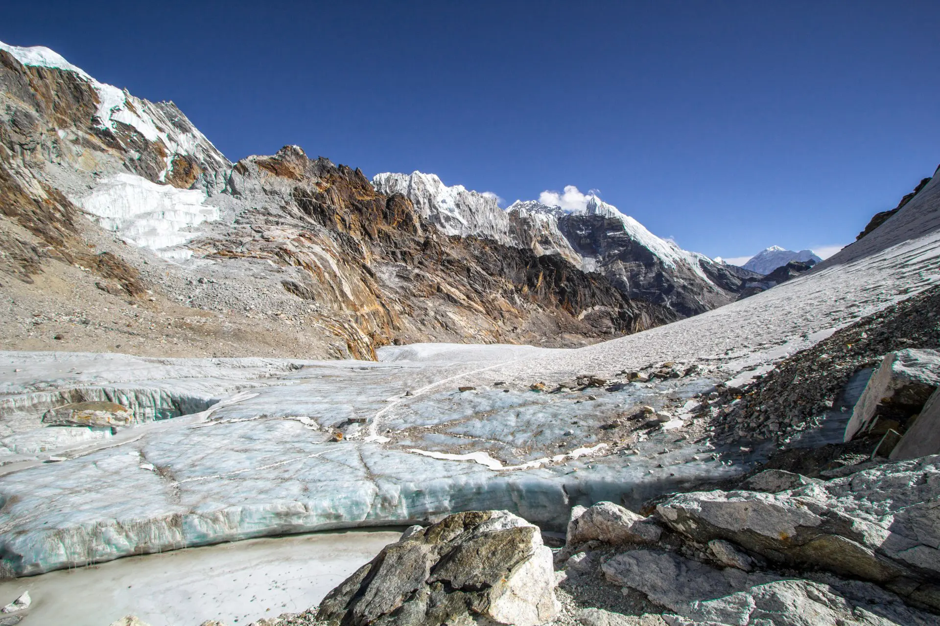
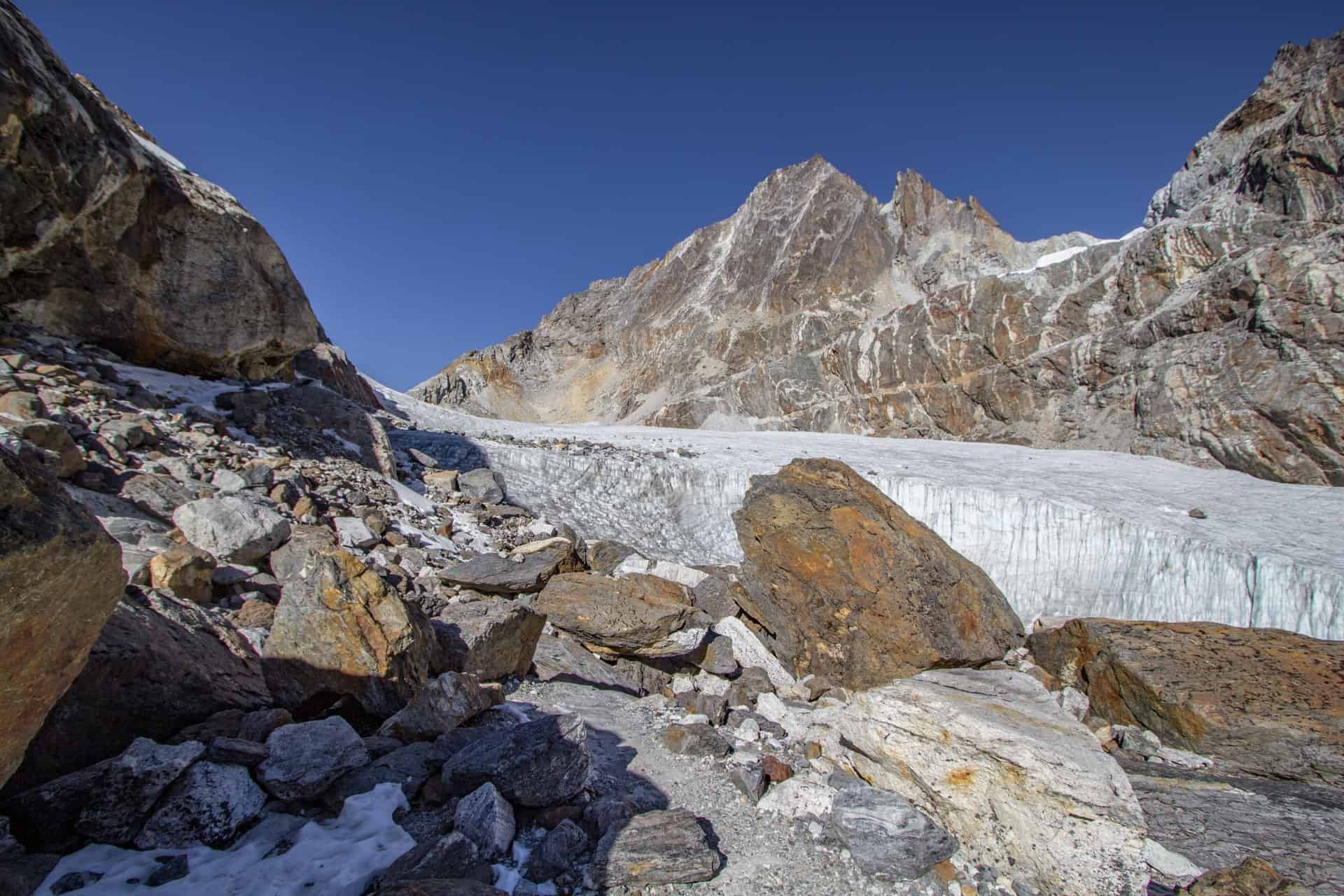
- This is the most technical (and by “technical,” I just mean that it would be wise to have microspikes) of the passes, as it requires you to cross a glacier on the east side of the pass.
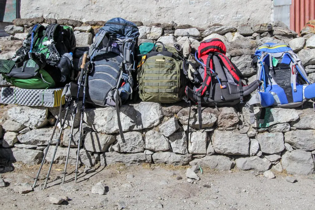
- Microspikes are available for purchase in Namche Bazaar (possibly Dingboche) and will cost you between 1,000 and 1,500 rupees (~$10-15 US).
- Nearest village to the east: Dzongla
- Nearest village to the west: Dragnag
- The western side of the pass is much steeper than the eastern side.
- You must cross the Cho La Glacier, which will likely be holding snow and ice.
How Difficult Is Cho La?
The most difficult parts of Cho La are the glacier crossing on the east side and the steep descent (or ascent if you’re heading clockwise) on the west.
I have heard firsthand accounts of guides telling clients that Cho La is “closed” (in quotes because, let’s be real, how are you going to close a Himalayan pass) and that it will not be passible. I have heard this both from guides (i.e. guides telling me that other guides tell clients this) and from trekkers who were told by guides that Cho La was closed/impassible (this was when I was about to/just had crossed the pass without issue). Apparently, guides prefer cruisy trips between Lukla and Everest Base Camp instead of putting in the effort to cross Cho La (they’re being paid by the day, after all).
What is the moral of the story? Be skeptical of the information you’re given; if you have the time, check out the conditions for yourself. You can always turn back.
That said, Cho La is probably the most trafficked of the three passes since it is 1) in the middle of the other two passes and 2) separates two of the most popular trekking routes in the region (Everest Base Camp and Gokyo Lakes).


As far as microspikes go, I recommend them.
You may see Nepalis (including some porters lugging massive loads) crossing without the use of any traction devices, but your life will be easier if you spend the 1,000 to 1,500 rupees (~$10-15 US) and buy some for the glacier crossing.
Is it possible to cross without microspikes? Sure. Will some Nepalis laugh at you for having them? Maybe. Will you regret having/using them? Probably not.
Don’t be scared of the fact that traction is recommended for this hike. All of the snow/ice you’ll be crossing will be relatively flat, and there isn’t going to be some near-vertical face that you’re going to slip off and die if you make one wrong step (falling rocks from the cliffs on either side of the glacier are a more realistic concern).


The Route Over Cho La
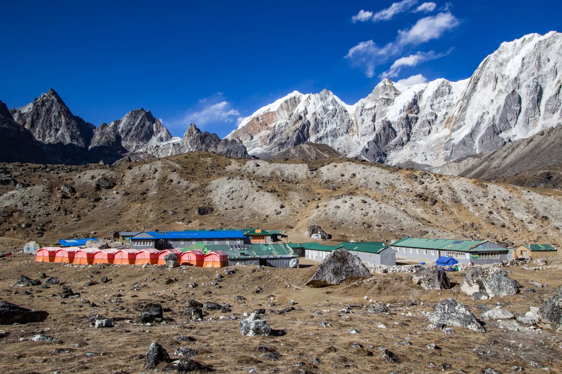
Most people begin their trips over Cho La (from the east) from Dzongla; if you’re hiking from the west, the typical starting points are either Dragnag (closer to the pass) or Gokyo (another 2.58 mi / 4.15 km west of Dragnag).
If you’re hiking the traditional Three Passes Trek itinerary, you’ll cross Cho La around your tenth day of hiking (add one day if you detour to Everest Base Camp and Kala Patthar).
The hike out of Dzongla and over Cho La is relatively straightforward. You are above treeline for the entirety of the hike, and you can’t exactly accidentally slip into a neighboring valley. Although the trail is not difficult to follow, attempting the crossing in poor conditions is not advisable.
For the first mile (1.6 km), the trail is relatively flat (you even go down a little, but soon you reach a steep and switchbacking trail up past a small stream running off the glacier and through a rocky chute. At the top of this climb, there’s a nice spot to rest with views back toward Dragnag (this may be labeled “Camp” depending on which map you have).
The trail continues, and soon, the glacier comes into view.
Keeping to the left of the glacier (on the south side), this is where you’ll likely begin to encounter snow/ice. Eventually, you’ll run out of runway on the south and be forced onto the glacier. By now, you’ll be able to see the prayer-flag-covered pass, and you’ll either be happy or sad that you did or did not bring microspikes (again, they’re not absolutely necessary, but if you are unsure of yourself in the mountains or on snow/ice, then bring them).
The western side of Cho La is much steeper than the east side, and it drops around 820 ft / 250 m in around 0.3 mi / 0.5 km. I do not envy trekkers coming up this way.
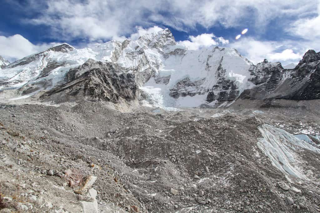
After the huge drop, there’s a small uphill to a flag on a hill (you’ll know it when you see it) before the trail dives into the valley and follows a stream down to Dragnag. It’s possible to continue to Gokyo instead of stopping at Dragnag if you’re feeling strong and have the daylight; this requires another 2.58 mi / 4.15 km of hiking and crossing the Ngozumba Glacier (very similar to the Khumbu Glacier crossing if you are coming from Kongma La).


Final Thoughts On Cho La
Cho La is typically the pass people choose if they only do one of the three passes since it connects two of the most well-known spots in the Everest Region, Everest Base Camp, and Gokyo.
You can read more about my trip over Cho La during my Three Passes Trek here.
If you have any questions, comments, or suggestions to improve this post’s information, please comment below.

What time of year did you complete the three passes trek? I’m going solo in mid February, hoping I didn’t make a mistake.
I did this over December/January.
Hey, Mac. Love the blog. The no nonsense approach to writing and some hilarious presentation is such a good read. I did the Base Camp+ Gokyo trek last year. Didn’t do the other two passes because rain fucked up my schedule. Anyway, i hope to return to the region and want to do the other two passes but i don’t know how it’s possible since Cho La is right at the centre. Any suggestions?
Honestly, going over Cho La would probably be the most sensible thing to do. Otherwise, you have to go down and around. Could presumably take the same amount of time.
It is a good trekking pass in the Everest region
I’m bit lost here buddy! Can you simplify what does this mean. “The hike out of Dzongla and over Cho La is relatively straightforward, but remember, you will be above treeline for the entirety of the hike over Cho La.”
That is a bit confusing – don’t know why I worded it this way. I’ve updated it :)
I am really happy to say it’s an interesting post to read.
I learn new information from your article. Great job. Keep it up!!
Happy to hear it!
I love you bby
You love Best Buy?
That too