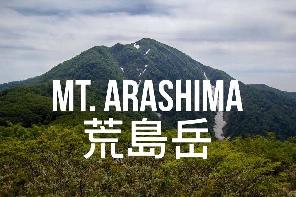
Hiking Mount Arashima (荒島岳) in Japan
Mount Arashima (荒島岳, Arashimadake) is one of the 100 Famous Japanese Mountains located in Ono City, Fukui (福井県大野市).
Reaching Mount Arashima via public transport is possible, but those with their own transportation will find the trip far easier (less timing required to make the infrequent train there and back).
This can be done as a day hike, but you won’t want to get started too late if you plan on catching the last train back to civilization (if you miss it you could always try your luck at hitching).
Basic Info
- Name: Mount Arashima
- Japanese name: 荒島岳 (Arashimadake)
- Location: Ono City, Fukui, Japan (福井県大野市)
- Summit elevation: 4,998 ft / 1,523.5 m
- Elevation change: 4,150 ft / 1,265 m
- Round-trip distance from trailhead: 7.96 mi / 12.8 km (with one 1 mi / 1.6 km Ko-Arashima detour)
- Round-trip time from trailhead*: 4:30 moving time / 5:04 total time (including 30-minute Ko-Arashima detour)
- Difficulty: Moderate
- Water on the trail: No
- Trailhead facilities: Restroom with running water
- Nihon Hyaku-meizan: Yes
*Note: The round-trip time listed above is based on my own experience. Please remember that your time may vary greatly.
Getting to Mount Arashima
- Region: Chubu (中部地方)
- Accessible via public transportation: Yes
- Trailhead parking: Yes
- Trailhead coordinates: 35.963445, 136.603928
- Summit coordinates: 35.934395, 136.601248
BY CAR: If you have access to a vehicle, then access to Mount Arashima is easy. The trailhead begins in a parking lot located in Ono City in Fukui Prefecture. The coordinates for the trailhead parking lot are 35.963445, 136.603928.

By Train
The closest train station to the trailhead is Kadohara Station (勝原駅). You will need to take the JR Etsumihoku Line (越美北線) to get there. The earliest train arrives at 10:33 (leaving Fukui Station at 9:08). The trains run every four hours, and the next one won’t get you in until 14:02 (probably too late to complete the hike before dark leisurely).
From Kadohara Station, it’s only a 0.75 mi / 1.2 km walk down the road to the trailhead. The last train bound for Fukui departs Kadohara at 18:41, and the last train leaving Kadohara (bound for Echizenono Station), leaves at 21:30. Always double-check the train schedules on Hyperdia before committing to anything.
By Bus
I could not find bus access to the trailhead. If you know otherwise, please let me know, and I will update this information.

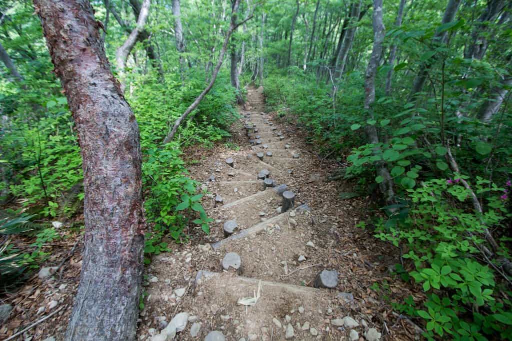
The Hike
The hike up Mount Arashima begins with a haul up (or next to if you want less traction) a long concrete ramp. Once you reach the top and it levels out, the trail continues right (not straight) up the mountainside. As you traverse the long and rocky switchbacks up the mountain, you will probably begin to notice that this first bit of the trail is almost completely exposed. Don’t worry, relief from the sun is on its way.

Reaching the first bit of open flatness after thirty minutes of climbing, you prepare to enter the forest. Until you reach the next equally open and flat bit an hour up the trail, you will be in the trees (so I hope you enjoy spider webs).
The hike is full of steps, and the uphill is relentless in the first half. As you climb higher, you will come across the Haku-san bench, which offers views of Haku-san and everything north of Mount Arashima. If you’re feeling beat, this might be a good place to stop for a rest (but I would suggest saving yourself for Shakunage-daira (シャクナゲ平) or Rhododendron Plateau in English).

Continuing through the trees, the trail persists upwards. You will encounter a sign detailing the trail work done on the trail about twenty minutes before you reach Rhododendron Plateau. How will you know you’ve arrived? It will be pretty obvious – it is the first open space you’ve seen since entering the forest, and there is a clear (and clearly marked) fork in front of you.
This is a great place to take a break (unless maybe you stopped at the flat spot just before the steep-looking climb up to here), but if you want somewhere (that’s possibly) a bit more private (and that doesn’t have any shade), then you can instead choose to detour to Mount Ko-Arashima to rest up for the summit push.
Detour: Mount Ko-Arashima (小荒島岳)
Once you reach the Shakunage-daira (Rhododendron Plateau) you will be faced with two trails: one to the left that takes you up to Mount Arashima’s summit, and another to the right that takes you to Mount Ko-Arashima (小荒島岳).
If you have the time, the trip to Mount Ko-arashima is well worth it. The hiking is mild compared to what you’ve just come up, and you’ll even get a bit of downhill, too (don’t worry—you’re not going the wrong way until you pass a right-turn-indicating post for Mount Ko-arashima’s summit).
It’s about a 15-minute hike (0.5 mi / 800 m) over to the second summit, and from there you will (probably) get your best views of Mount Arashima.

The Summit
From Rhododendron Plateau, it should take you another fifty minutes or so to reach the Mount Arashima summit.
You will dip down into the forest before beginning your ascent again via an even steeper trail than the first half. Plenty of steps, ropes, and chains have been set up to assist hikers. I have found that these ropes are pretty popular in Japan, but I didn’t see a use for this hike unless conditions are wet or slippery.
Emerging from the forest, you will soon see the summit before you, and it shouldn’t be long before you reach the top. The summit of Mount Arashima is an ample, open flat space with plenty of room to lie on the ground and recover from your climb.

When I was there, an ugly green rope and metal posts encircled the summit. I don’t know why, but I have found that few peaks in Japan are without reminders of excessive human meddling. In true Japanese fashion, there is a small shrine on top as well. The summit marker stands more or less in the middle of the plateau, and next to it is an interesting map of the surrounding mountains.
Another trail continues down the other side of the mountain, opposite where the trail meets the summit. I took a five-minute stroll to see if I could find anything, but this trail appears to continue down the opposite spine of the mountain. I didn’t see any signs, and the trail didn’t appear well-traveled, but it might be worth exploring if you’ve got the time.

When you’re finished making friends and studying your mountain kanji, head back down the same way you came (and if you skipped Ko-arashima on the way up, consider visiting it if you’ve got the time).

Map of Mount Arashima
The following was my GPS’s route on my hike up Mount Arashima.
I have no guarantee that this route is correct or can be accurately relied upon for backcountry navigation. It should serve only as a general guideline for what the trail is expected to look like.
I have also included the elevation profile and my hike’s overall stats in case you find any of it useful.


Conclusion
If you find yourself in Fukui or Ishikawa with a car and some time to explore, Mount Arashima is a great option.
However, given its rural location, attempting to reach the mountain via train can be somewhat of a hassle (and there might be more attractive options nearer to you).
Regardless, it is one of the Hyakumeizan (日本百名山), Japan’s 100 Famous Mountains, and neither the climb nor the views disappoint.
Have any questions about Mount Arashima? Want another post about another one of Japan’s mountains? Have a suggestion to improve this information?
Leave a comment and let me know!


Can we hike on the last week of April?
That depends on your experience level, as I suspect there will still be snow.
Thanks, this was very helpful, I’ll give it a go this weekend!
Enjoy it!