Wyoming, the third state of the Continental Divide Trail (for northbound hikers) is another dramatic shift in the trail for thru-hikers. The transition from Colorado to Wyoming is just as dramatic as the shift from New Mexico to Colorado.
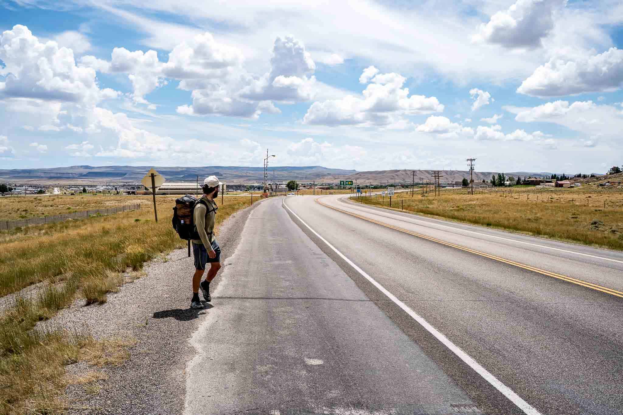
The small mountain resort towns of Colorado are replaced with simply small towns. This means fewer amenities but also a break from astronomical Colorado prices. In Wyoming, hikers enter via the Huston Park Wilderness in the Medicine Bow National Forest before then meeting with what will be a great friend to them in Wyoming, dirt roads. The trail passes the town of Rawlins and then crosses the Great Divide Basin before entering the Wind River Range (this is generally where hikers begin carrying bear spray). To finish up the state, CDT hikers enter the trail’s second National Park (heading north), Yellowstone.
If you are interested in a detailed account of my Continental Divide Trail hike through Wyoming, check out these posts:
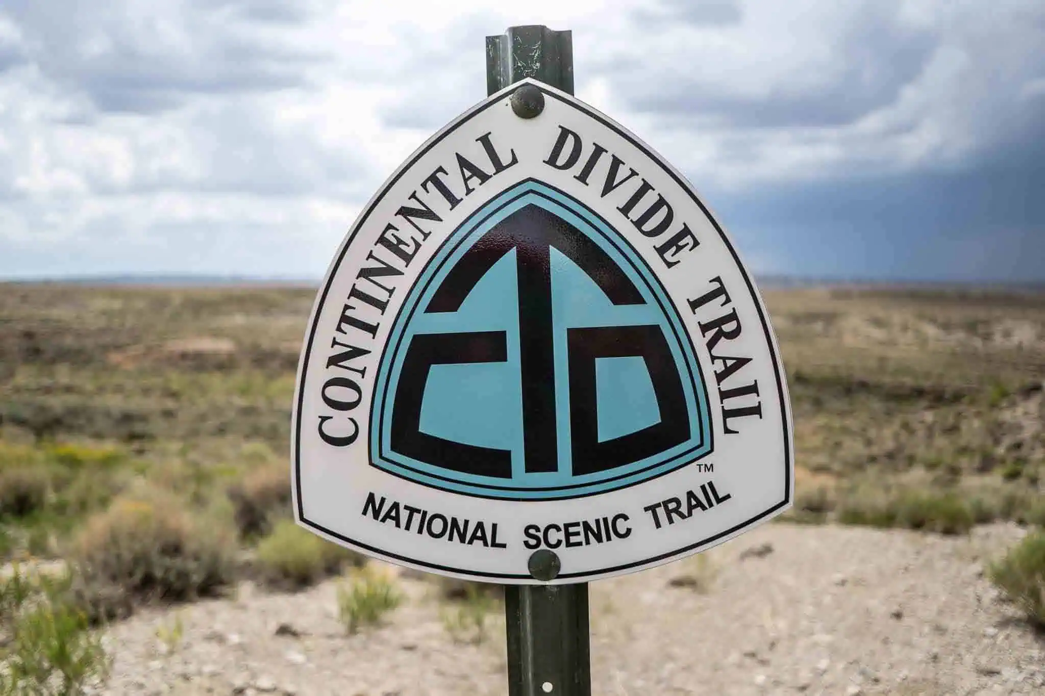
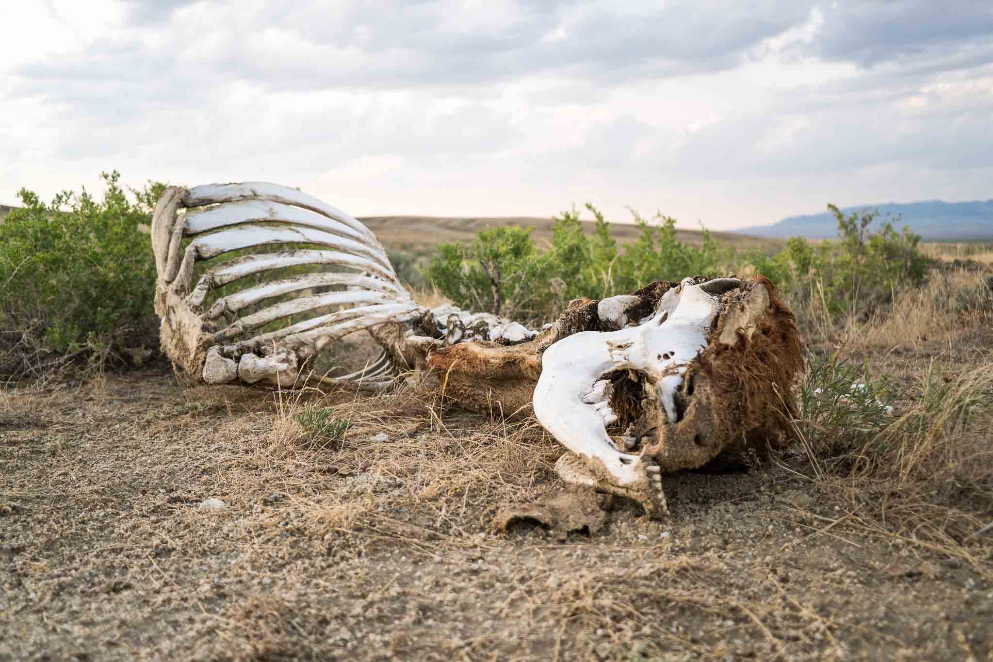
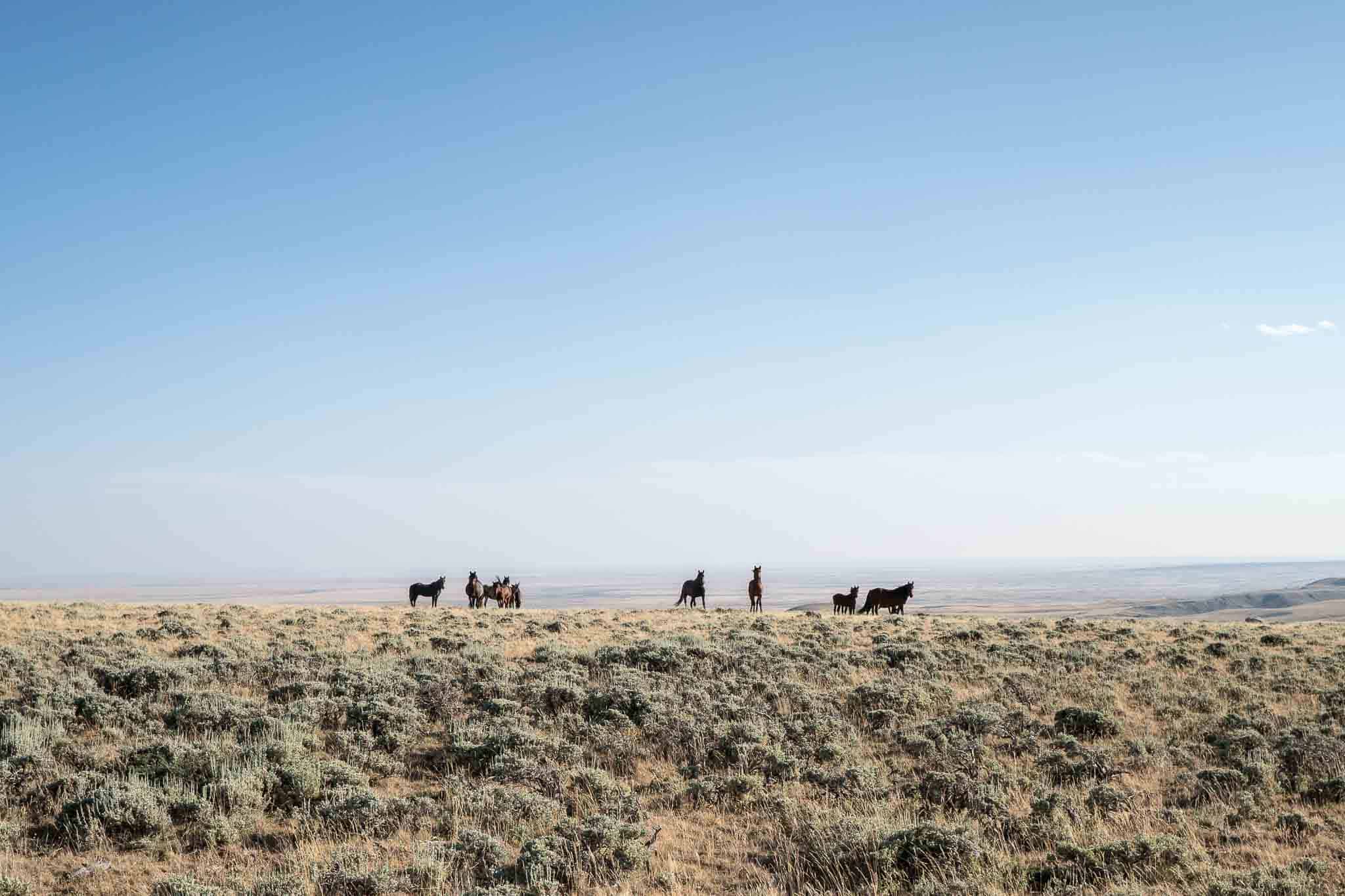
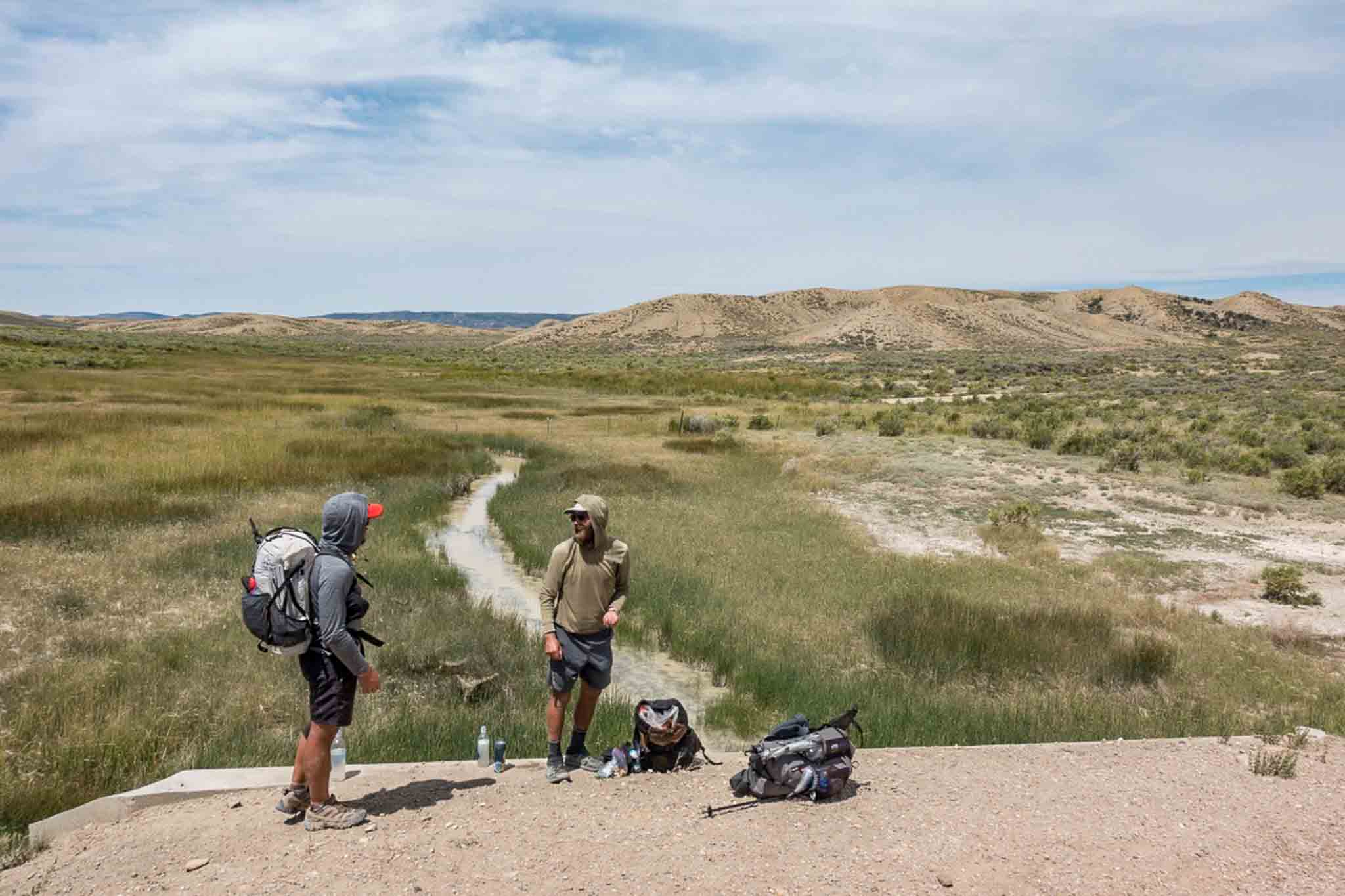
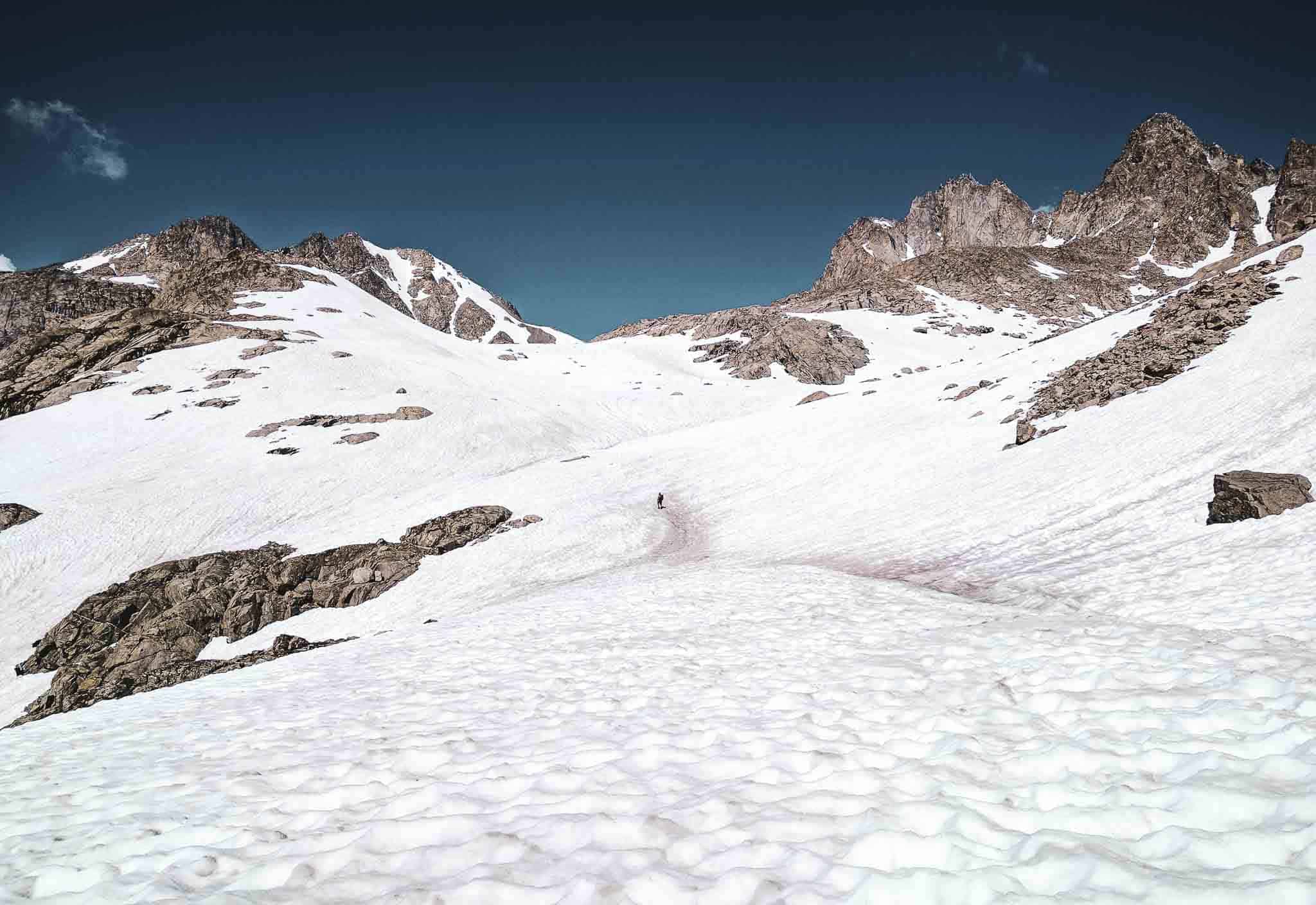
Entering Wyoming – the trail here isn’t (or wasn’t) very well maintained, but still managed to find this sign (and poop in the state line).There isn’t much craziness as far as the trail goes in the first stretch of Wyoming – it’s mostly just trying to stay on the trail (as in not losing it).Encampment, Wyoming – the first town in the state (and also one of the smallest of the trail). Nothing too exciting here.The southern half of Wyoming isn’t particularly interesting compared to the rest of the trail, but it’s really just warming you up for the second half.Rawlins is a large city (by Wyoming standards) that the CDT goes straight through. There are hotels with CDT Wyoming Rawlins Motel Breakfast (and even hot!) breakfasts.Walking the road out of Rawlins as we enter the Great Divide Basin.Of course, as soon as we enter the Great Divide Basin, we get hit with a thunderstorm – not many places to cower.A sign in surprisingly good shape in the Great Divide Basin.A lot of people hate on the Basin because it’s “boring”, but it’s also stress-free when it comes to route finding – just follow the trail to the horizon.The largest animal skull we have come across on the CDT (and probably the largest we’ll find unless we unearth some dinosaurs).An enormous mystery poop pile. Did one animal do all this? Did they all just poop in the same spot? Did someone come and intentionally make this pile? I may never know.One thing the Great Divide Basin is known for? Not having many water sources.Another thing the Great Divide Basin is known for? Wild horses. So much smarter and more majestic than cows.I wonder how many people stop to read this sign every year. I wonder what percentage of these people are on the Continental Divide Trail.We find multiple signs for “The California Trail” and “The Oregon Trail” in the Great Divide Basin. I suppose it’s an easy spot to cross if you’re heading east to west.Finding water sources in the Basin can be tricky (even if you’re “pretty sure where they are”).One of the nicer water caches we found on the trail – no risk of these blowing away and becoming trash, most excellent.We managed to find someone else in the Basin – it’s also where we see our first southbound CDT hiker.South Pass City marks the end of the Great Divide Basin and the start of the Wind River Range – it’s also where you can hitchhike to Lander, Wyoming from.We make it to Lander (another relatively large Wyoming city of nearly 8,000) and pick up bear spray (mostly so that we feel safer as we hope to never have to use it).The Cirque of the Towers alternate route in the Wind River Range – highly recommendedHeading up the south side of Texas Pass – still plenty of snow late in the season.The north side of Texas Pass is just as impressive as the south.Another recommended alternate route on the CDT – Knapsack Col.Descending the northern side of Knapsack ColThe Wind River Range is truly glorious. It should be high on your list of places to explore.One of the longest descents on the entire CDT.Still no shortage of wet feet.Looking behind us to catch a glimpse of Squaretop Mountain as we leave the mountains behind us.You can hitch to Jackson or Dubois. We opt for Dubois (where apparently, there’s no cell reception).The northern half of Wyoming is far more interesting than the southern half.This stream splits – one side drains to the Pacific Ocean, the other to the Atlantic Ocean. Nature is neat.We may be out of the mountains, but that doesn’t mean we can’t get hit with the occasional thunderstorm (sad face).This sign knows what’s up. Still have yet to spy a grizzly bear.Sometimes photos manage to capture more magic than is actually there.The mosquitoes in Northern Wyoming were absolutely brutal – the worst of the entire trail by a long shot. Yellowstone offers some logistical challenges as you need permits to camp at backcountry campsites – we hike into the park early and hit the backcountry office.Do yourself (and everyone) a favor – stay well away from the geothermal pools and features in the park.Apparently, nobody that works at Yellowstone knows where the backcountry office is – this place was incredibly difficult for us to find.A surprisingly large water crossing for being inside of a National Park – where is the infrastructure!?We both open and close the breakfast buffet at Old Faithful Lodge – we almost go back for the lunch buffet.Castle Geyser near Old Faithful Village – neat.We have no campsite reserved, so we need to hike out of the park before we camp.The outer boundary of Yellowstone National Park near the Wyoming-Idaho border.
Questions about the Continental Divide Trail through Wyoming? Leave a comment below and let me know!
Affiliate Disclosure: This page may contain affiliate links, which means I may receive small commissions for purchases made via these links at no additional cost to you. This helps pay the bills and keep the site up and running. Thank you for your support!
In the third installment of the Continental Divide Trail Thru-Hiker Survey, we cover what’s probably the biggest (perceived) logistical issue on the CDT: resupply. After…
In the third installment of the Continental Divide Trail Thru-Hiker Survey, we cover what’s probably the biggest (perceived) logistical issue on the CDT, resupply. After…
4 Comments
Why would you want more infrastructure? Keeping it natural is what the national parks are about…


Why would you want more infrastructure? Keeping it natural is what the national parks are about…
Not sure where I said I want more infrastructure, but thanks for the comment?
Oooo nice pics
I took most of them for you <3