Hayduke Trail Grand Canyon Itinerary
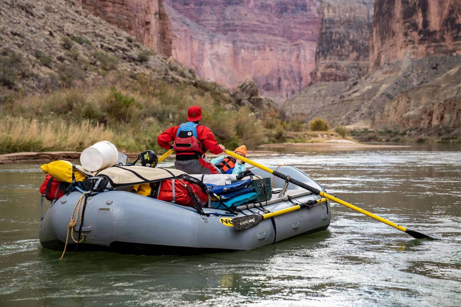
Every Hayduke thru-hiker will need a Hayduke Trail Grand Canyon itinerary. The trail spends nearly 150 mi / 240 km in Grand Canyon National Park and all Hayduke hikers will need a Grand Canyon backcountry permit. It’s one of the few permits hikers will be required to get if they intend to hike the entire trail. There is no way to avoid getting a Grand Canyon permit if you intend on hiking the entire Hayduke.
Unfortunately, the process for getting a Grand Canyon backcountry permit is tedious at best. At the time of publication, applying for a permit requires the use of fax machines and manually filling in lots of data.
The following intends to make the process of obtaining a Hayduke permit for Grand Canyon National Park a bit easier for those hoping to hike the route.

Things to Remember
Grand Canyon National Park is a significant portion of the Hayduke Trail. Making note of a few things while you put together your itinerary will likely make your trip-planning phase a bit easier.
- There is a year-round post office at the South Rim where you can mail yourself a resupply and/or mail items home or ahead to yourself.
- The town of Tusayan (map) is just south of Grand Canyon and has hotels, a grocery store, restaurants, and more.
- Although they’re not widely advertised, there are hiker/biker campsites at both the South Rim’s Mather Campground and the North Rim Campground. You can use these as part of your itinerary.
- Reservations for camping in “the corridor” are highly competitive. The corridor is the area between the South Rim and the North Rim on Bright Angel Trail/South Kaibab and North Kaibab Trail. If you’re not taking the Tonto Trail alternate west of the South Rim Village, hiking this stretch known as “rim to rim” in a single day is recommended (~24 mi / 38 km via South + North Kaibab Trails).
- If you want to stay below the rim longer, you can take the less-traveled Tonto Trail west of Grand Canyon Village to the South Bass Trail. Then, you can hike up the North Bass Trail to meet the Hayduke before it dips back below the rim near Thunder River.
- The westernmost point of the Hayduke Trail in Grand Canyon is the top of Kanab Canyon.
- The easternmost point of the Hayduke Trail in Grand Canyon is the top of the Nankoweap Trail.
Water resources in Grand Canyon are extremely limited and many are undrinkable due to uranium or sulfur contamination. You can find more information on water sources in the park’s trail descriptions accessible via this page. Hayduke hikers will want to check out (in order from east to west):
- Nankoweap Trail
- Beamer Trail
- Escalante Route: Tanner Trail to New Hance Trail
- Tonto Trail: Grandview Trail to South Kaibab Trail
- South Kaibab Trail
- North Kaibab Trail
- Thunder River Trail and Deer Creek
Note that the above is not an exhaustive list of all the trails the Hayduke traverses in Grand Canyon National Park. The park (apparently) does not produce similar literature for some of the lesser-traveled stretches (namely, the stretch between Nankoweap and the Beamer Trail, and the stretch from Deer Creek Falls to/up Kanab Canyon, and the North Bass Trail if taking the Tonto Trail Alternate).
Backcountry Permit Application
The first thing you need to do is fill out a Backcountry Permit Application (NPS website).
As per the application instructions, you can submit your application one of three ways:
- Fax the application to +1 928 638 2125
- Mail it to the park: Backcountry Information Center, 1824 S Thompson St #201, Flagstaff AZ, 86001
- Bring the form (in person) to the Backcountry Information Center (located in the park on the South Rim and the North Rim)
Realistically, the only option for most Hayduke Hikers will be to fax the application. There are free online services that will fax documents on your behalf. I used this website to fax in my application and didn’t have any issues.
You need to provide the following information on your application:
- Name
- Address
- Email address (your application will be responded to via email – no, you cannot submit your preliminary application via email)
- Whether your trip is commercially guided (presumably “no” will be your answer)
- The type of use requirements (backpacking, camping, and/or packrafting)
Then things get a bit more complicated when you get to your itinerary details.
You have two columns, “Choice One” and “Choice Two”. These are for proposing two different itineraries (in case your first one isn’t available). For each, you’ll need to provide your group size, entry location, and exit location.
- Entry location (hiking westbound): Nankoweap
- Exit location (hiking westbound): Kanab Canyon
Not the tricky part. Provide the dates you’ll be camping and your camp location/use area. You can use this map (which isn’t the best – it makes things easier if you use the canyons/river as your guide) to plan your route. For reference, Nankoweap is in AE9 and Kanab Canyon is in LA9.
If you would like to submit an itinerary for more than seven nights, you’ll need to use an additional page to do so (you can do this via a Google Doc, save it as a PDF, and then fax it in with your application).
Here are two possible itineraries for a Grand Canyon backcountry permit. The first follows the Hayduke the entire way. The second follows the Tonto Trail west to the North Bass Trail where it then climbs to meet the Hayduke at the North Rim at campsite NJ2 (see the backcountry planner map for reference).
Both of these include stops at Mather Campground on the South Rim (SRA) where you can resupply either via the South Rim post office or by hitchhiking into Tusayan (the town just south of the park). You only need to put the alphanumeric code on your application, the use areas in parentheses are just bonus information for you.
Option 1 (Hayduke Trail)
- Night 1: AE9 (Nankoweap use area)
- Night 2: BA9 (Palisades use area)
- Night 3: BD9 (Red Canyon use area)
- Night 4: BJ9 (Cremation use area)
- Night 5: SRA (this stands for “South Rim Area” – there are hiker/biker sites at Mather Campground at the South Rim – it is not labeled on the map)
- Night 6: NCG (this stands for “North Rim Campground” and is not labeled on the map – there are hiker/biker sites here)
- Night 7: NJ2 (Swamp Point campsite)
- Night 8: AZ9 (Fishtail Zone use area)
Option 2 (+Tonto West/North Bass Alternate)
- Night 1: AE9 (Nankoweap use area)
- Night 2: BA9 (Palisades use area)
- Night 3: BD9 (Red Canyon use area)
- Night 4: BJ9 (Cremation use area)
- Night 5: SRA (this stands for “South Rim Area” – there are hiker/biker sites at Mather Campground at the South Rim – it is not labeled on the map)
- Night 6: BM7 (Hermit Creek campsite)
- Night 7: BO9 (Slate use area)
- Night 8: BQ9 (South Bass use area)
- Night 9: NJ2 (Swamp Point campsite)
- Night 10: AZ9 (Fishtail Zone use area)
Below your itinerary, check “similar/nearby campsites” and/or provide alternate dates if you want to make things easier on yourself should your proposed itinerary (or itineraries) not be available.
Hiker Information Sheet
Once you get all that filled out and faxed in, the Backcountry Office will contact you via email and tell you whether your itinerary is available. If it is, you need to fill out a second (more involved) piece of paperwork called the Hiker Information Sheet.
This sheet will list your hike dates, (use area) code, and use area. You’ll be asked to provide your intended mileage, trails you’ll use, and campsite location for each day. I told you, involved.
You’ll also need to provide your “hiking experience” and, more specifically, your “desert and/or Grand Canyon hiking experience”. The form also asks for a list of your equipment carried (this mostly applies to any technical and/or packrafting gear you may have) and two emergency contacts. I’ve never had an issue, but you may receive some pushback from the backcountry office if you don’t have any desert and/or Grand Canyon” experience to show.
The following are examples of data that could be used for both of the above Hayduke Grand Canyon itinerary options.
Option 1 (Hayduke Trail)
This route mostly follows the Hayduke Trail. It detours from the Hayduke to the South Rim via the South Kaibab Trail to include a shorter day to the South Rim to allow time for a resupply and a night at Mather Campground at the South Rim. It then requires you to hike from the South Rim to the North Rim in a single day. Feel free to modify this as you see fit.
| Day | Code | Use Area | Mileage | Trail / Route to be taken and camp location |
|---|---|---|---|---|
| 1 | AE9 | Nankoweap | 10 | Nankoweap Trail to Lower Nankoweap Camp |
| 2 | AF9 | Chular | 15 | Cross country along river + Beamer Trail to across from Lava Canyon Camp |
| 3 | BD9 | Red Canyon | 15 | Hayduke/Escalante Route to Hance Rapid |
| 4 | BJ9 | Cremation | 23 | Hayduke/Tonto Trail to Lonetree Canyon |
| 5 | SRA | Mather CG Hiker/Biker | 13 | Tonto Trail + South Kaibab Trail to Mather CG |
| 6 | NCG | North Rim Hiker/Biker | 24 | South+North Kaibab Trails to North Rim Hiker/Biker CG |
| 7 | NJ2 | Swamp Point | 30 | Point Sublime Trail + Hayduke to North Bass Trail |
| 8 | AZ9 | Fishtail Zone | 22 | Hayduke + Thunder River trail to Kanab Rapid |
| 9 | Hiking Out | 13 | Hayduke up Kanab Canyon to NP boundary |
Option 2 (+ Tonto West/North Bass Alternate)
This route follows the Hayduke Trail to the South Kaibab Trail. It then detours to the South Rim to allow time for a resupply and a night at Mather Campground at the South Rim. Then, it deviates from the Hayduke as it descends the Bright Angel Trail and follows the Tonto Trail west to South Bass Trail. You’ll then need to hitch a ride across the river (or packraft across) to the North Bass Trail. It reconnects with the Hayduke Trail at Swamp Point (NJ2).
| Day | Code | Use Area | Mileage | Trail / Route to be taken and camp location |
|---|---|---|---|---|
| 1 | AE9 | Nankoweap | 10 | Nankoweap Trail to Lower Nankoweap Camp |
| 2 | AF9 | Chular | 15 | Cross country along river + Beamer Trail to across from Lava Canyon Camp |
| 3 | BD9 | Red Canyon | 15 | Hayduke + Escalante Route to Hance Rapid |
| 4 | BJ9 | Cremation | 23 | Hayduke + Tonto Trail to Lonetree Canyon |
| 5 | SRA | Mather CG Hiker/Biker | 13 | Tonto + South Kaibab Trail to Mather CG |
| 6 | BM7 | Hermit Creek | 19 | Bright Angel + Tonto Trail to Hermit Creek Campsite |
| 7 | BO9 | Slate | 19 | Tonto Trail to Turquoise Canyon |
| 8 | BQ9 | South Bass | 16 | Tonto Trail to South Bass Trail |
| 9 | NJ2 | Swamp Point | 12 | North Bass Trail to Swamp Point Campsite |
| 10 | AZ9 | Fishtail Zone | 22 | Hayduke + Thunder River trail to Kanab Rapid |
| 11 | Hiking Out | 13 | Hayduke up Kanab Canyon to NP boundary |
Wrap Up
Ultimately, you’re free to choose whatever route through Grand Canyon National Park you prefer for the Hayduke. If you want to camp at Bright Angel Campground (the one with flushing toilets next to the river) feel free to try to snag a reservation.
A note on the Tonto Trail alternate. If you have never hiked the North Kaibab Trail, I would recommend it. It’s a beautiful and impressive trail as far as trail building goes. There are some really neat sections that you will not be disappointed to see. If you have already hiked North Kaibab, maybe consider the Tonto Trail as it may be your best opportunity to hike this portion of Grand Canyon. Ultimately, do whatever makes you happy.
If you have any questions, alterations, or suggestions for the proposed itineraries, please leave a comment below and let me know.