
The Pacific Crest Trail: Two Months Out
According to what can loosely be defined as my “plan,” in precisely two months (that’s May 15, 2013), I will begin a 2,660 mi / 4,281 km journey north from Campo, California (just over the border from Mexico) to Manning Park in British Columbia (that’s Canada for all you geography majors).
The fact that I plan on making this journey has spread amongst my friends and family with one question (okay, two questions) on everyone’s mind: 1) what are you doing to prepare for this and 2) are you fucking serious?
Everyone who asks about my planning receives the same response: I am reading past hiker accounts, mapping my stops on the trail, training my body, and getting my gear together. However, in reality, I do not have the slightest clue what I am getting myself into, nor do I know how I should actually be preparing.
The best I can convey what planning this hike has been like is this: imagine that you are told that in two months, you are going to wake up with the genitalia of the opposite sex. No matter how much you read, how many dollars you spend on new clothing, or how many people you talk to, you still have no idea what to expect, and you won’t know for sure until it happens.
Exciting stuff, I know.
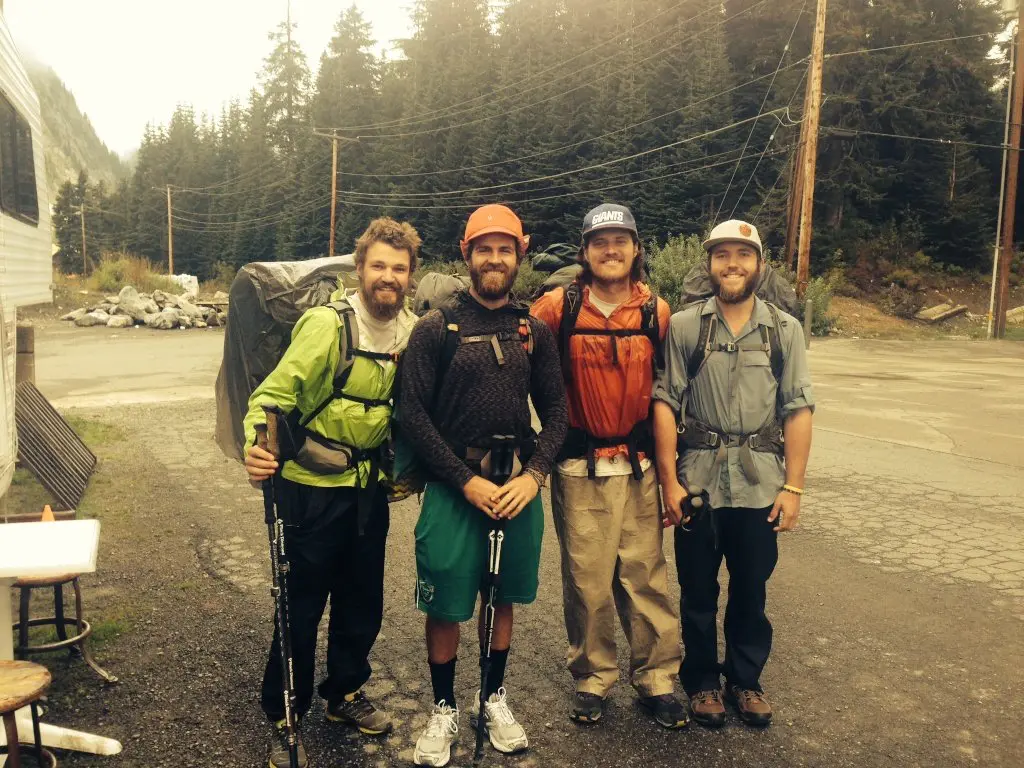
My decision to attempt this 2,660-mile walk from Mexico to Canada was made after a conversation I had last October with a retired man from New Hampshire who intended to hike the Appalachian Trail (an equally daunting trail along the Eastern Seaboard).
After this encounter, I did some research, quickly discovered the Pacific Crest Trail, and was immediately sold on hiking it. However, a majority of PCT accounts out there describe weeks and months, and even years of planning. This worries me as the amount of planning I have done and intend to do could be condensed into approximately one (maybe two) forty-hour work weeks. As a result, I have come to believe that everyone else is either terrible at planning or far too prepared.
After all, if you don’t have a plan, then nothing can ever not go according to plan, amirite?
At this point, I have selected the equipment that I will be taking with me on the trail (and have even purchased some of it), and I have a rough plan of where I will stop to resupply (read: drink beers).
In its most basic sense, this adventure is nothing more than a glorified walk, and anybody can decide whenever they want to head over to Campo, California, and start the trek north to Canada. How far each person gets is, I am sure, some function of the amount of planning and thought given to said walk ahead of time, but the threshold can’t be too high – at least, I hope not.
I will let you know in a couple of months.


I used my maps every day, but mostly to see where the next water source or campsite was. However, a few times I did have to use them to decipher where to head (usually fellow hikers are good about leaving signs on the trail).
Hey man, I was on the Cal Ski team with ya…great site! Your posts are amazing, aside from excluding one key piece of information regarding permits from this post. I’m planning on thru-hiking this year and missed the first date to apply for 500 mile+ permits (35 permits/day became available on 2/1…faaack!). However, they make another 15/day available on 2/16, which i will be staying up until midnight in order to apply for.
Keep up the good work brotha.
Hello Mr. Elliott, always a pleasure to hear from CSST#1 brethren (we share a bond few will ever understand). Thanks for the support! Awesome that you’re going to hike the PCT. When I wrote this they didn’t have the permit system that they do now, so I will have to go about updating some information.
Good luck on getting a permit in the next round, and shoot me an email if you have any questions, [email protected]
Eventually we would love to hike the PCT. In the meantime, we are vacationing in Southern California and would love to get a picture at the southern terminus. Is it difficult to get to? Safe? Would love to check it out.
The terminus is easy to get to if you have your own transportation. It requires a bit of dirt road driving, but nothing that requires an SUV. It’s also perfectly safe (although you may have to tell some border patrol what you’re doing if they’re around).
Was there a permit you had to acquire beforehand? I want to section hike (I know, I know) from Kennedy Meadows to NorCal but I don’t know what I need as far as a wilderness permit(s).
Hey Conor! If you’re going to hike 500 (or more) continuous miles of the PCT, then you need to get a permit. Here’s an article I did on the PCT permits: https://www.halfwayanywhere.com/trails/pacific-crest-trail/pct-permits-permission-walk-outdoors/