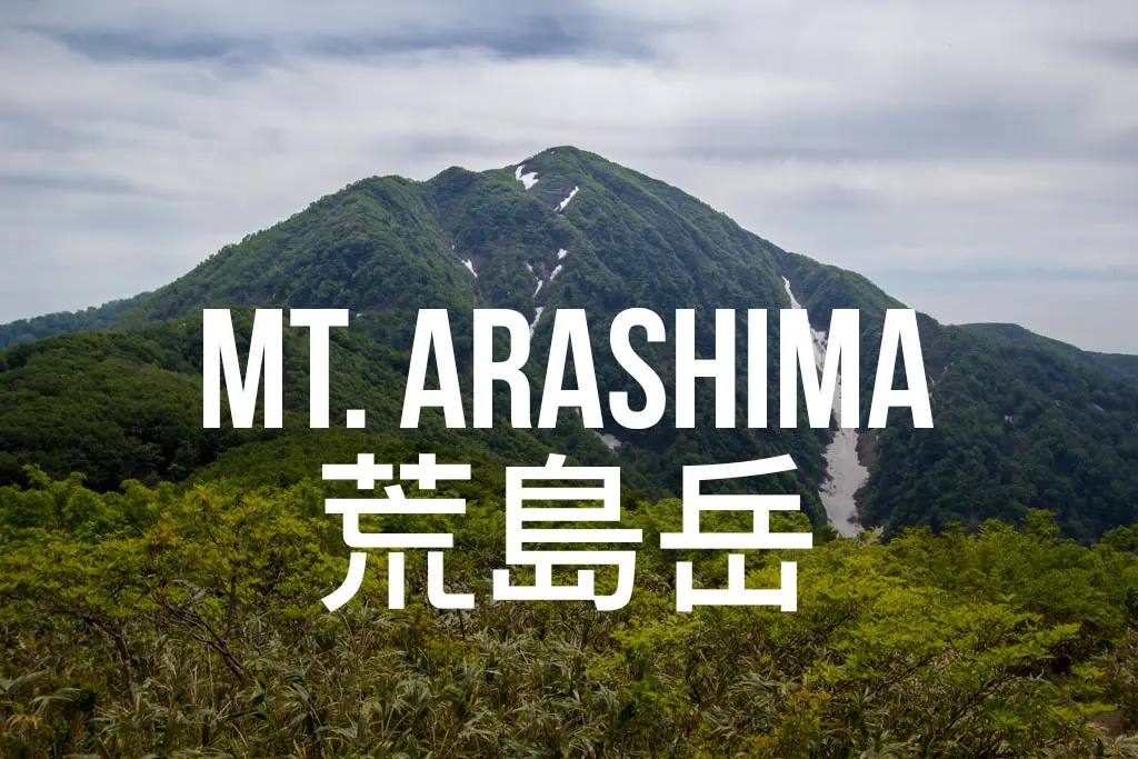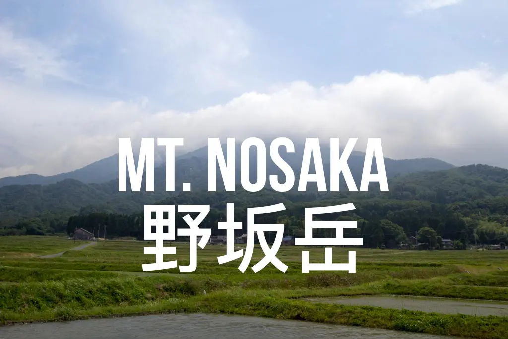
Hiking Mount Nosaka (野坂岳) in Japan
Mount Nosaka (野坂岳, Nosakadake) is a day hike in Tsuruga City in Japan’s Fukui Prefecture (福井県敦賀市).
The trail up the mountain is well-maintained and easy to follow. If the weather cooperates, you will be rewarded with some great views of southern Fukui and possibly even the Kita Alps (北アルプス) if you’re lucky.
You can reach the 2,998 ft / 914 m peak fairly easily via car or public transportation (train). I did this hike in early June and saw no snow on the trail.
Mount Nosaka Facts
- Name: Mount Nosaka
- Japanese name: 野坂岳 (Nosakadake)
- Location: Tsuruga, Fukui, Japan (福井県敦賀市)
- Summit elevation: 2,998 ft / 914 m
- Elevation change: 2,788 ft / 850 m
- Round-trip distance from trailhead: 4.65 mi / 7.48 km (6.05 mi / 9.78 km from the train station)
- Round-trip time from trailhead*: 2:06 moving time / 2:27 total time
- Difficulty: Easy-Moderate
- Water on trail: Yes
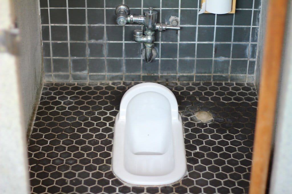
- Trailhead facilities: Restroom (possibly running water)
- Nihon Hyaku-meizan: No
*The round-trip time for this hike listed above is based on my own personal experience. Do not assume this information to be a reliable representation of reality.
Getting to Mount Nosaka
- Region: Chūbu (中部地方)
- Accessible via public transportation: Yes
- Trailhead parking: Yes
- Trailhead coordinates: 35.608504, 136.029809
- Summit coordinates: 35.589615, 136.024560

BY CAR: Driving to Mt. Nosaka is relatively simple, and fortunately, the trailhead won’t take you too far out of the way. There is parking at the base of the trailhead just above a group of bungalows. The location of the parking lot is 35.608500, 136.029389, just past the trailhead. You can find a Google Maps pin for the trailhead at the end of this post.
BY TRAIN: The closest train station to the Mt. Nosaka trailhead is Awano Station (粟野). You will need to head to Tsuruga Station (敦賀) and then transfer to the Obama Line (各停) bound for Higashi-Maizuru (東舞鶴). Awano Station is just two stops west of Tsuruga Station.
From Awano Station it’s a 1.4 mi / 2.3 km walk to the official trailhead, but the climbing will start long before.
Leaving the station, make a left and follow the signs for 少年自然の家. After a minute or so, the road will cross under the train tracks and then curve to the left. Keep following the road as you wind up past some parking and colorfully roofed cabins before finally reaching the trailhead (marked with a sign that reads 野坂岳山頂約2時間20分 – 2 hours and twenty minutes to the summit).
BY BUS: I could not find any bus access to the trailhead. If you know otherwise, please let me know, and I will update this information.

The Hike

The trail starts out climbing, and it won’t really let up for the entire first half.
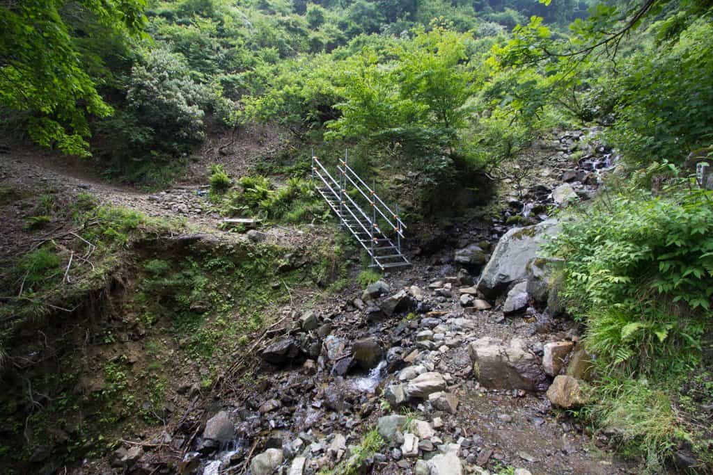
You’ll start out following a stream up a valley which you will cross multiple times before reaching a fixed metal staircase and your final crossing. Grab water here if you’re going to want any because it’s the last water you’ll see on trail.
I found this trail markedly less crowded than some of the others (most notably the Hyaku-meizan trails) in the Chubu Region, which came as a nice relief from the hoards of tour buses and (god-forbid) groups of school children.
Now, the trail begins switchbacking up the mountainside. As you climb, be sure to look behind you and take in the view of Tsuruga City.
Just before reaching the ridgeline and Ichi-no-dake (一ノ岳), your first (actually second or third) decent opportunity for a break, you will pass a trail for Gyoja Rock (行者岩). The trail is short but steep and could be tricky if conditions are wet. See more on this trail in the next section.

After making it to Ichi-no-dake, the trail stops its aggressive ascent and becomes a mild rolling up and down as you make your way to Ni-no-dake (二ノ岳). From there, the trail remains gentle until you pass San-no-dake (三ノ岳) and begin your final climb up to the summit.
You’ll know that you’ve arrived when you make it to the shelter. The summit (and hopefully some views) is just beyond.
Detour: Gyoja Rock (行者岩)
You will pass the trail for Gyoja Rock about a mile (1.6 km) into the hike up Mt. Nosaka.
The trail is quite short, but it is also a bit overgrown and very steep. If you’re climbing after (or in the) rain, be careful on your way up and down to the lookout.


It’s only a five- or ten-minute hike to the lookout, but if the weather is clear, you will get good views of Tsuruga and the hike ahead of you.
However, nothing you can see here can be seen from elsewhere in the hike, so don’t feel that forgoing this side trip will result in missing anything.
The Summit
Reaching the summit of Mt. Nosaka, you will find a large open space with a large cairn-esque structure in the middle (former/current bonfire lighting pedestal?) and the summit marker facing away from you as you enter.
If you are not engulfed in a cloud then you will be able to get some nice views into Shiga and back towards Tsuruga.

Should you happen to find yourself on top in less-than-desirable weather, then go ahead and hide out in the shelter like the scared and fragile animal that you are.
Don’t worry, I won’t judge you.

Opposite where you enter the summit clearing, another trail leads away and down the mountain in the other direction. I followed it for a minute but stopped when I decided that it was losing elevation a bit too quickly for my taste (I didn’t want to have to climb back up to the summit).
When you’re finished exploring and hiding out from the wind in the shelter, head back down the way you came (unless you’re a badass and choose to bushwhack your way down the mountainside instead —or explore the other summit trail).

Map of Mount Nosaka
The following was the route my GPS recorded on my hike up Mt. Nosaka.
I have no guarantee that this route is correct, nor that it can be accurately relied upon for backcountry navigation. It should serve only as a general guideline for what the trail is expected to look like.
I have also included the elevation profile and my hike’s overall stats in case any of you find any of it useful.


Conclusion
This hike is by no means epic or worthy of you spending a ton of time and money to go out of your way to do.
But for those in the area, or for anyone looking for something a bit more off the beaten path, then this (admittedly short) day hike may be perfect.
Just be sure to climb on a nice day!
Have any questions about Mt. Nosaka? Want another post about another one of Japan’s mountains? Have a suggestion to improve this information?
Leave a comment and let me know!