Japan | Japan | Japan Hikes
Guide to Hiking Yakedake (焼岳) in Japan
Guide to Yakedake (焼岳) – an 8,054 ft / 2,455 m peak at the southern end of Japan’s Northern/Kita Alps (北アルプス). It’s also an active volcano.
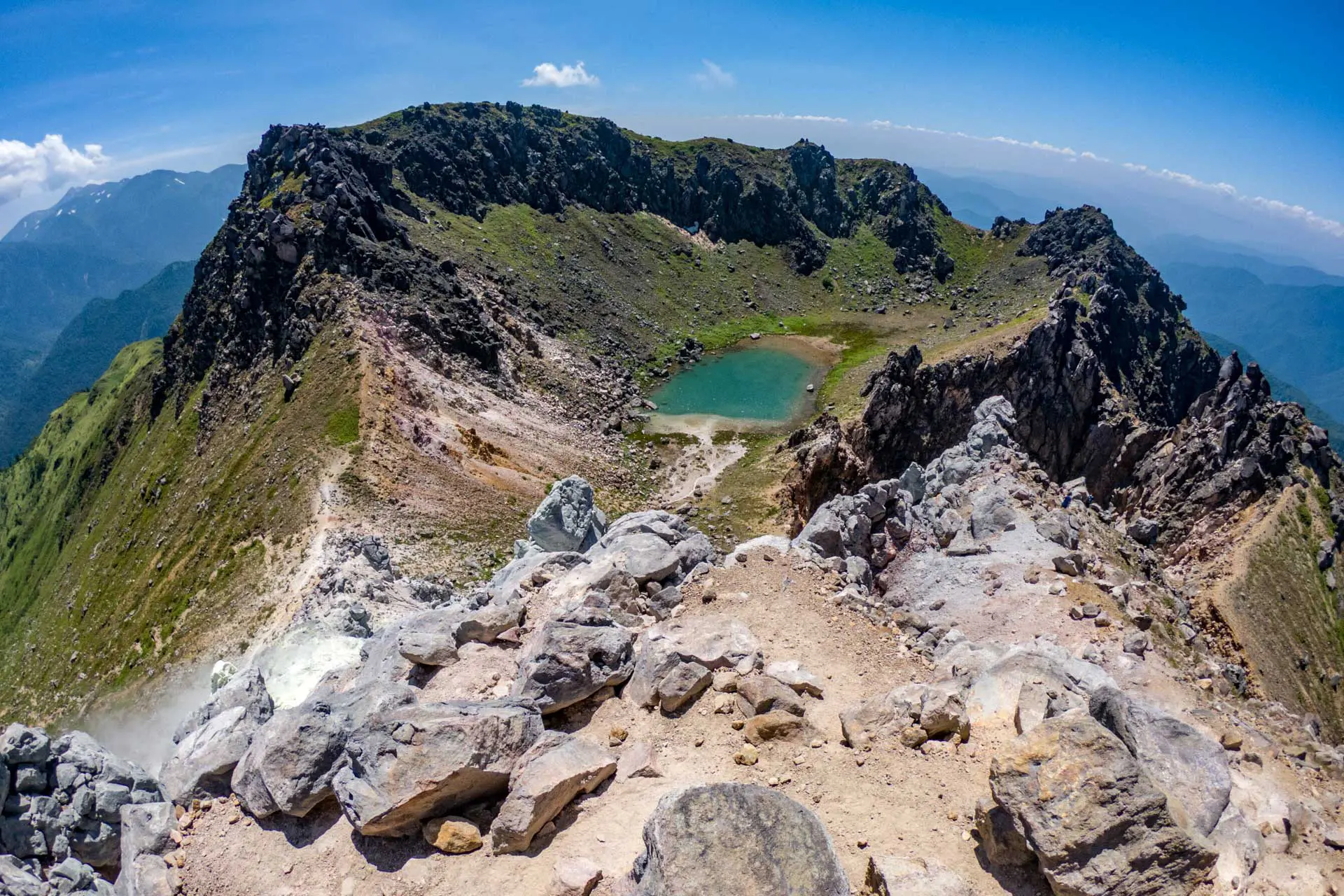
Guide to Yakedake (焼岳) – an 8,054 ft / 2,455 m peak at the southern end of Japan’s Northern/Kita Alps (北アルプス). It’s also an active volcano.
The most dangerous thing you will encounter on most hikes in Japan is probably dehydration or perhaps one of the giant Japanese hornets if you’re…
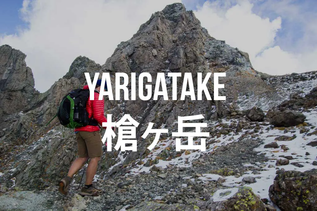
Yarigatake (Mount Yari, 槍ヶ岳) is one of the most iconic peaks in Japan’s Northern Alps (北アルプス). Here’s everything you need to know about getting to the peak.
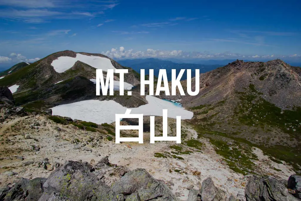
Mount Haku (白山, Hakusan) is one of Japan’s Three Holy Mountains (三霊山) along with Mount Tate and Mount Fuji (what that means, I have no…
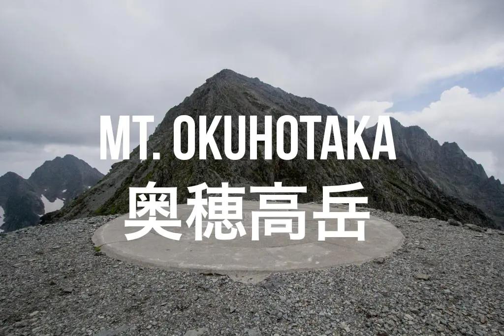
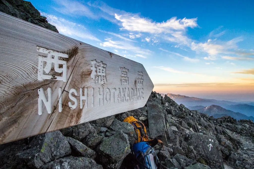
Mount Okuhotaka (奥穂高岳, Okuhotakadake) is the third highest peak in Japan behind Mount Fuji (富士山, Fujisan) and Mount Kita (北岳, Kitadake). Okuhotakadake, located in the…

Mount Tsurugi (剱岳, Tsurugidake) is a 2,999 m (9,839 ft) peak located in Japan’s Kita Alps (北アルプス). Here’s everything you need to know to get to the peak.
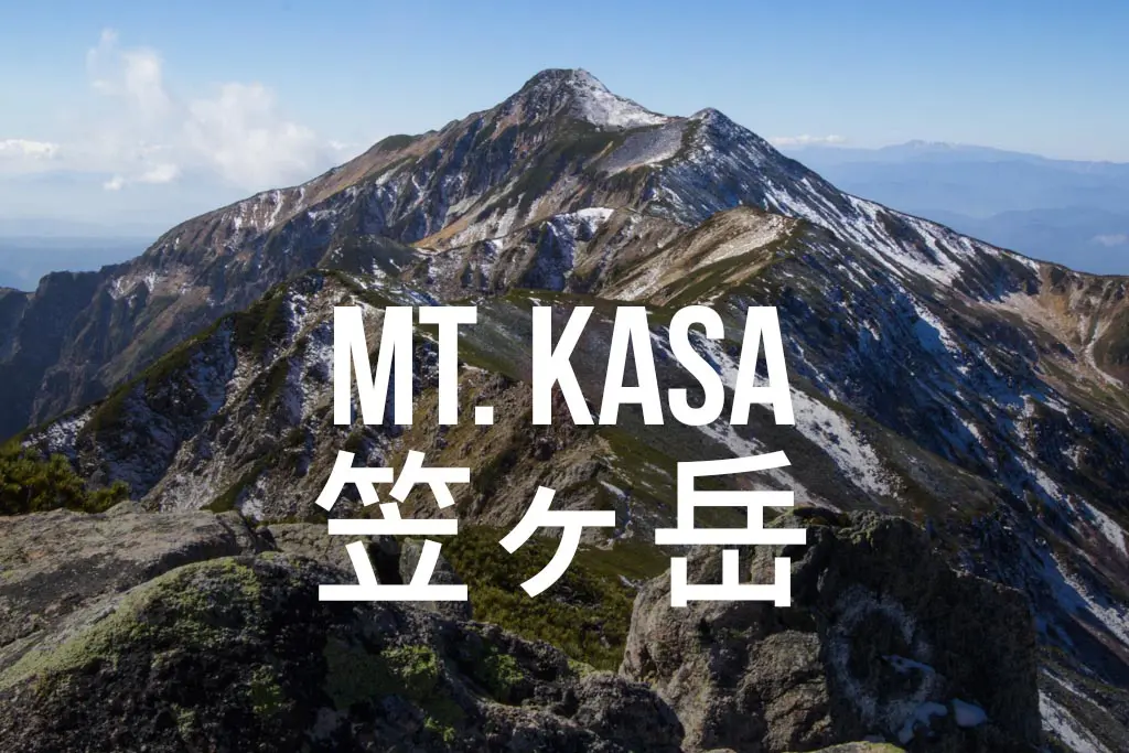
Mount Kasa (Kasagatake) is located in Gifu, Japan, and has a 9,505 ft / 2,897 m summit. Hiking Mt. Kasa is possible in a single day, but it’s no cakewalk.