Teton Crest Trail – Ultimate Backpacking Guide
The Teton Crest Trail spans the southern half of Grand Teton National Park in Wyoming, covering approximately 40 mi / 62 km between Leigh Lake Trailhead at the base of Paintbrush Divide in the north and Phillips Bench Trailhead (located on Highway 22) in the south. That said, there are multiple places where hikers can choose to start/end the Teton Crest Trail – more on this below.
Permits are not required to hike the Teton Crest Trail, but permits are required to camp along the trail. Although some people push to complete the trail in a single day, most will take between three and five days to complete the trail.
Just west of Jackson, Wyoming, and not far south of Yellowstone National Park, the Teton Crest Trail and Grand Teton National Park are highly popular destinations for backpackers and tourists from all over. This guide covers everything you need to know for a successful hike of the Teton Crest Trail – from permits and trailheads to maps and alternates.

Teton Crest Trail Overview
- Location: Grand Teton National Park (Wyoming, USA)
- Length: 35-40 mi / 56-64 km
- Type: One-way
- Recommended Time: 3-5 days
- Possible Time: 1 day
- Most Popular Months: May to September
- Max Group Size: 12
- Permit Required: If camping, yes
- Permit Cost: $45 per group (permit link), $35 per group for walk-up permits (more below)
- Park Entrance Fee: $35/car, $30/motorcycle, $20 hiker/biker, free with America the Beautiful Pass
- Campsite Reservations Required: Yes
- Dogs Allowed: No
- Trailheads: Leigh Lake Trail (map), Aerial Tramway (map), Phillips Bench/Highway 22 (map)
- Low Point: String Lake – 6,873 ft / 2,095 m (map)
- High Point: Paintbrush Divide – 10,703 ft / 3,262 m (map)
- Elevation Gain (southbound): 8,112 ft / 2,473 m
- Elevation Loss (southbound): 8,089 ft / 2,466 m
- Difficulty: Moderate-Strenuous

Things to Know
- If you’re camping, you’re required to carry an approved food storage container (a bear canister or Ursack) to protect your food from bears (and bears from your food).
- There is no dispersed camping within Grand Teton National Park, you are required to camp within one of the designated camping zones (and you must have a permit).
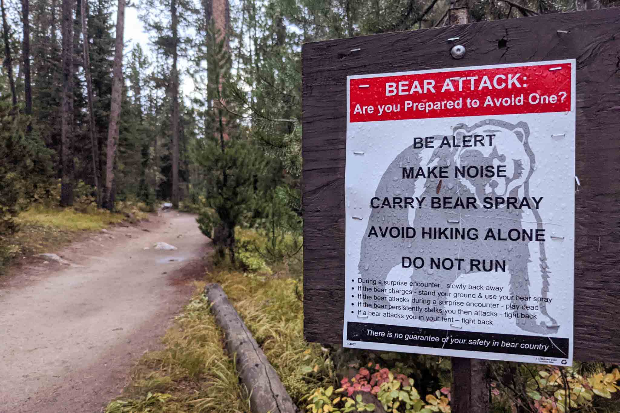
- There are grizzly bears in Grand Teton National Park – it is recommended that you carry bear spray
- Dogs (all pets) are prohibited in Grand Teton National Park
- Firearms are not permitted to be discharged (except during hunting season) or used as protection against wildlife in the park
- The Teton Crest Trail can be hiked in either direction
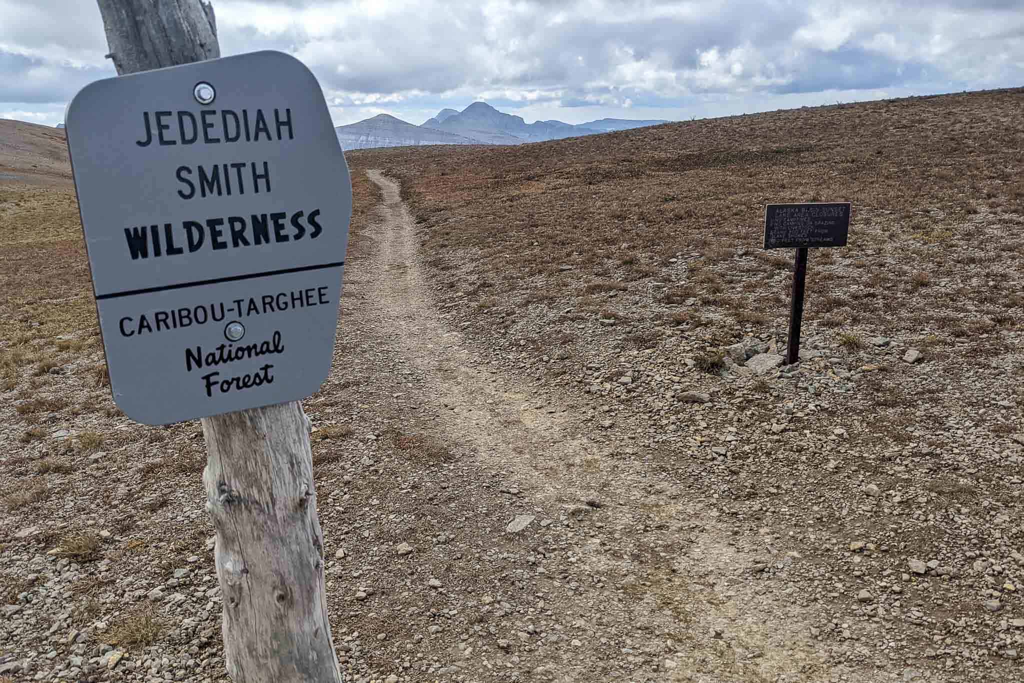
- Permits are not required to camp in Jedediah Smith Wilderness
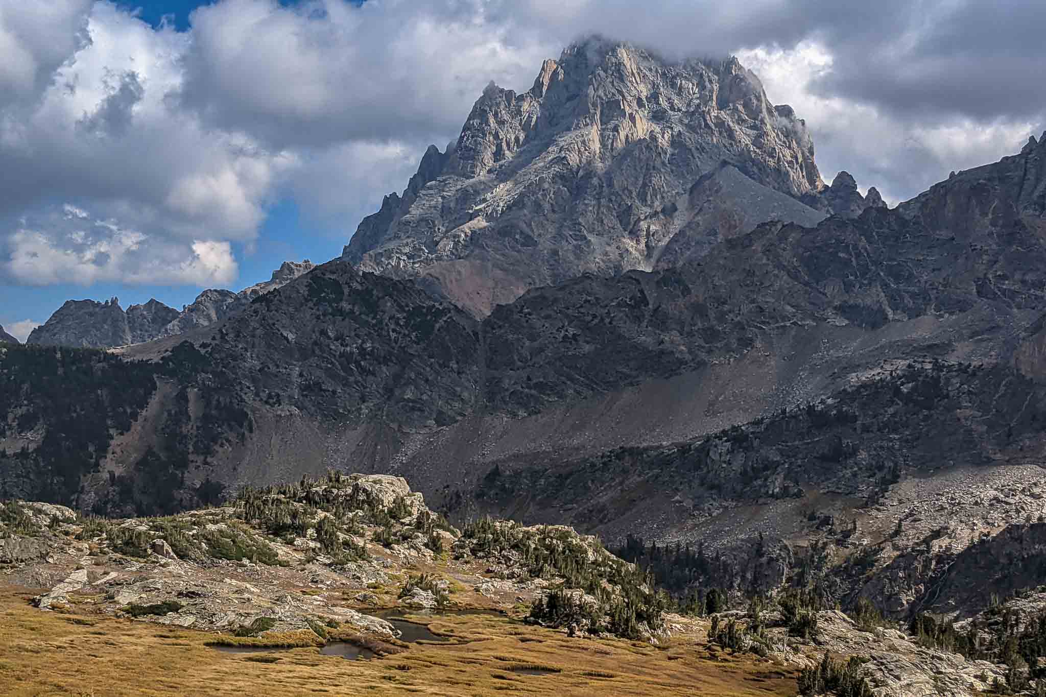
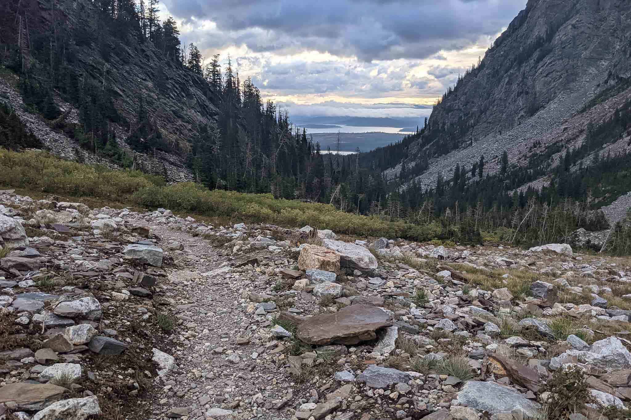
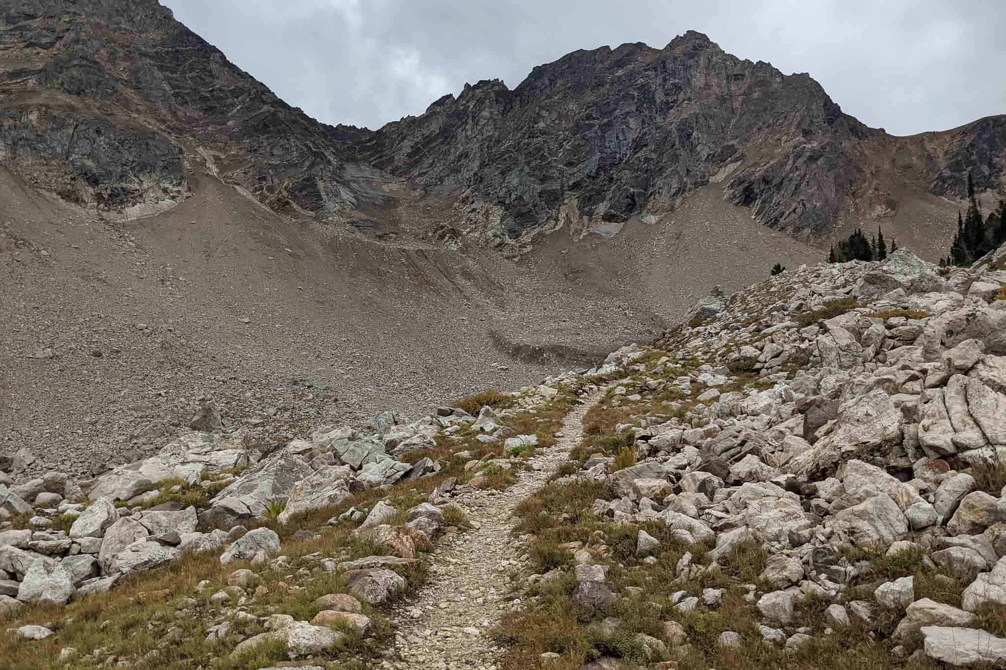
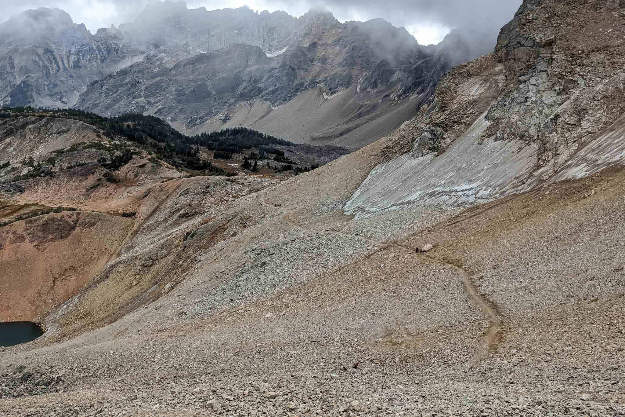
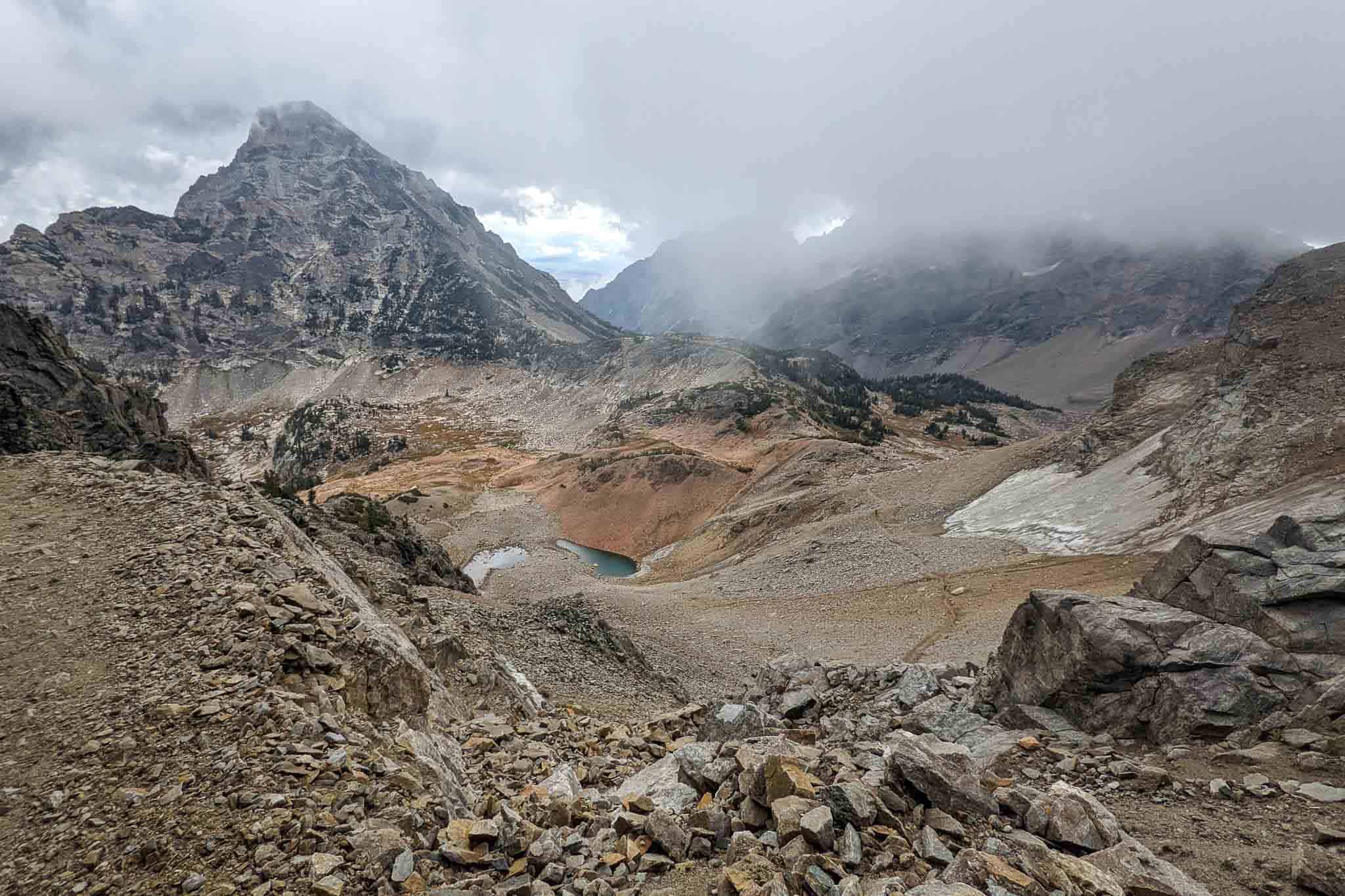
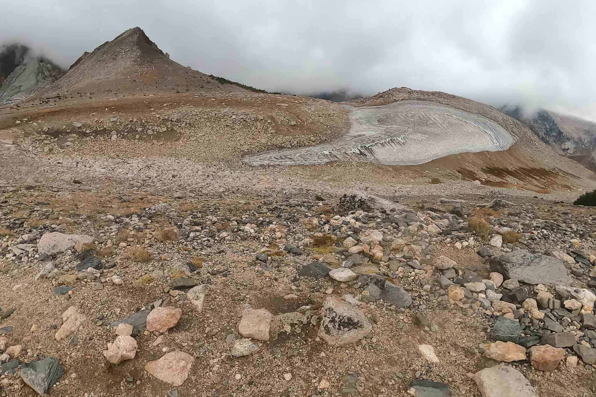
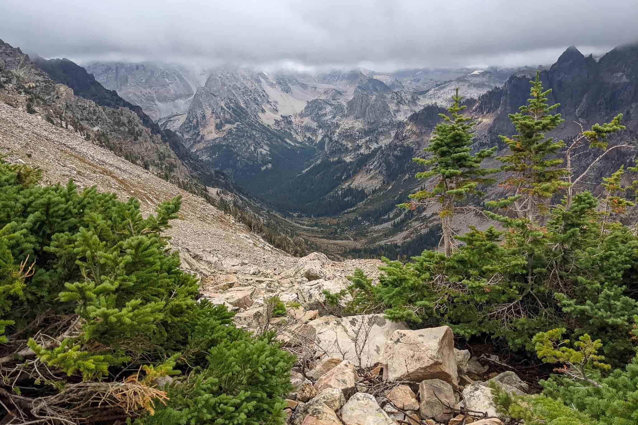
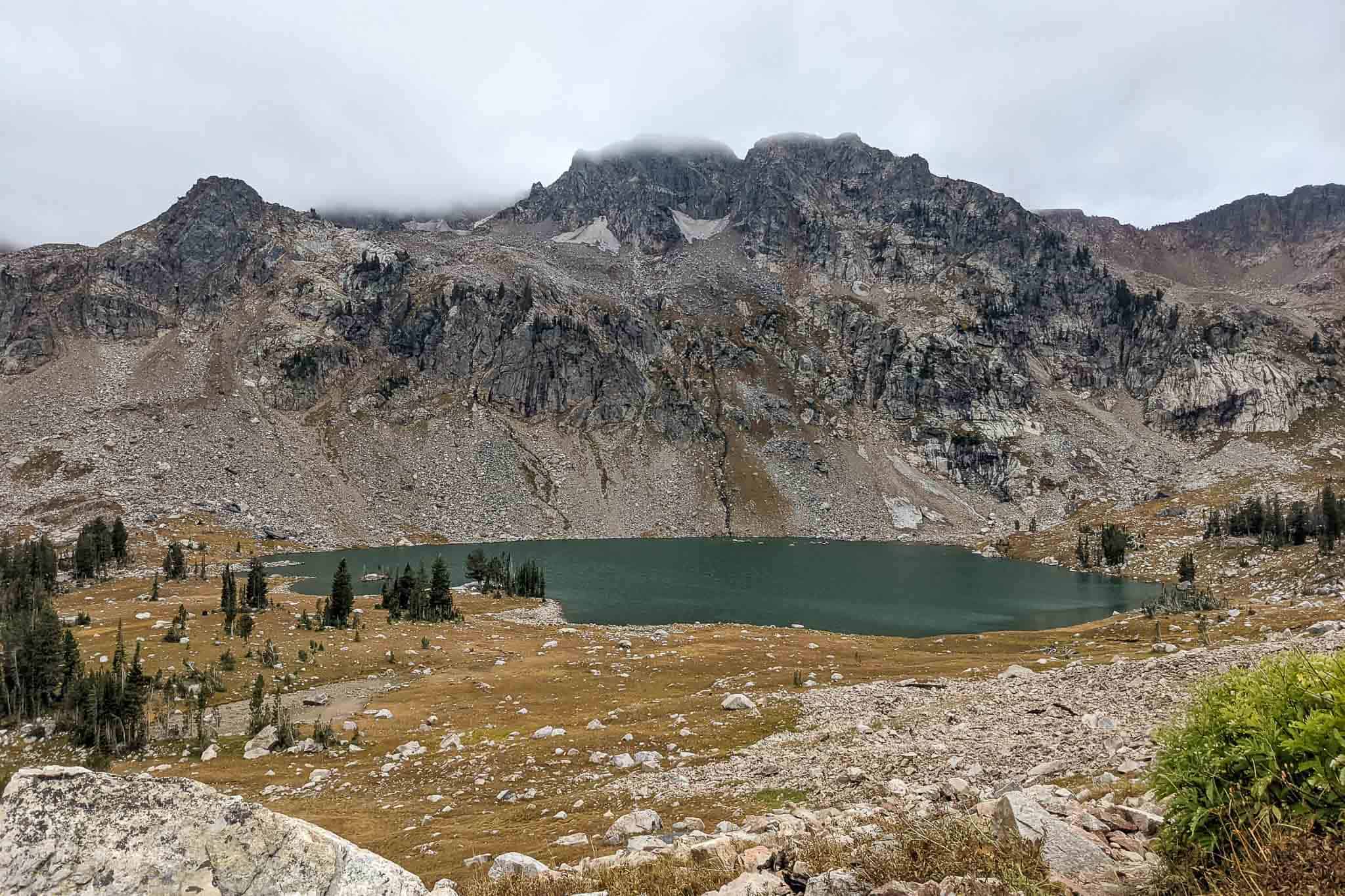
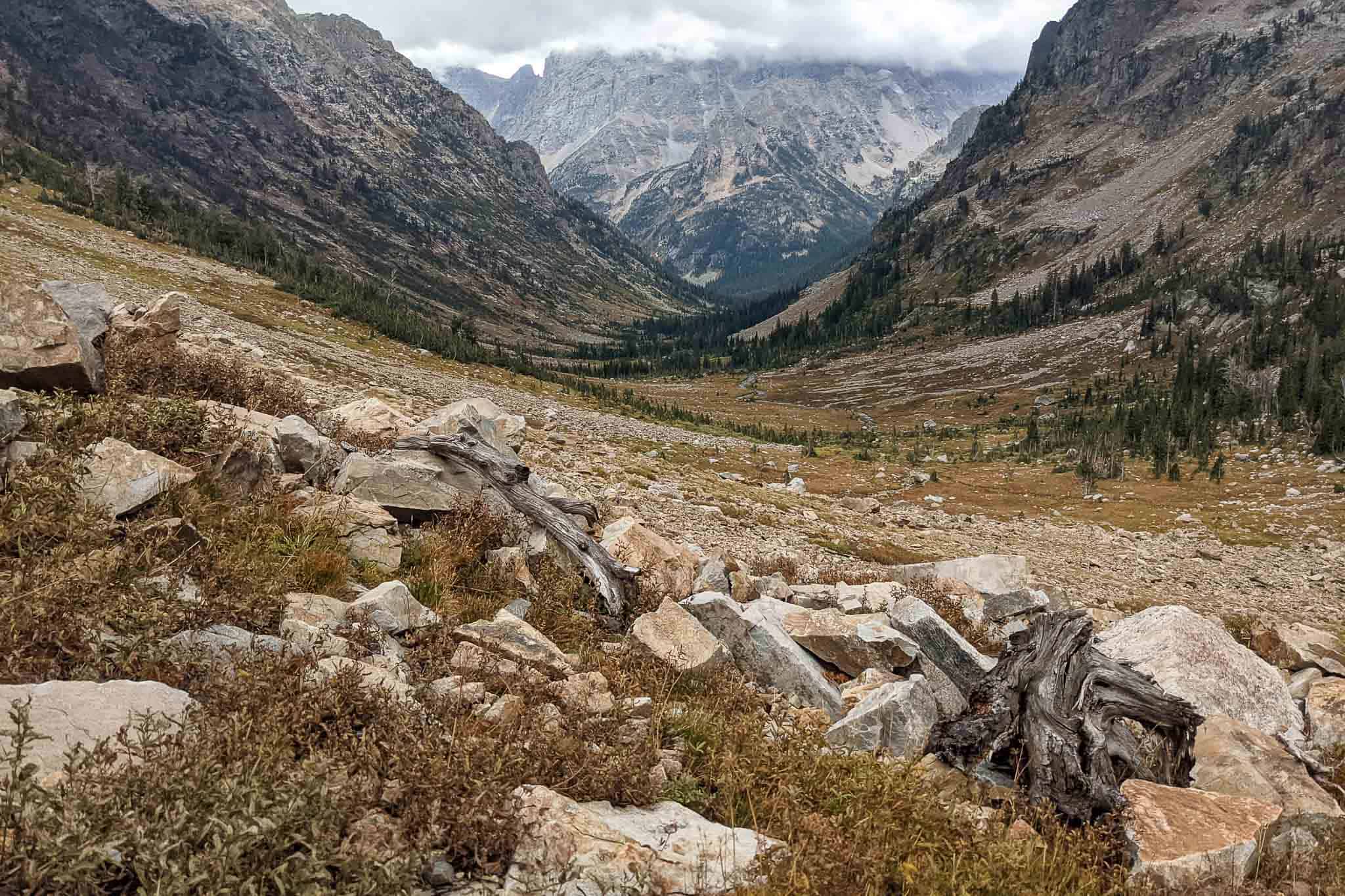
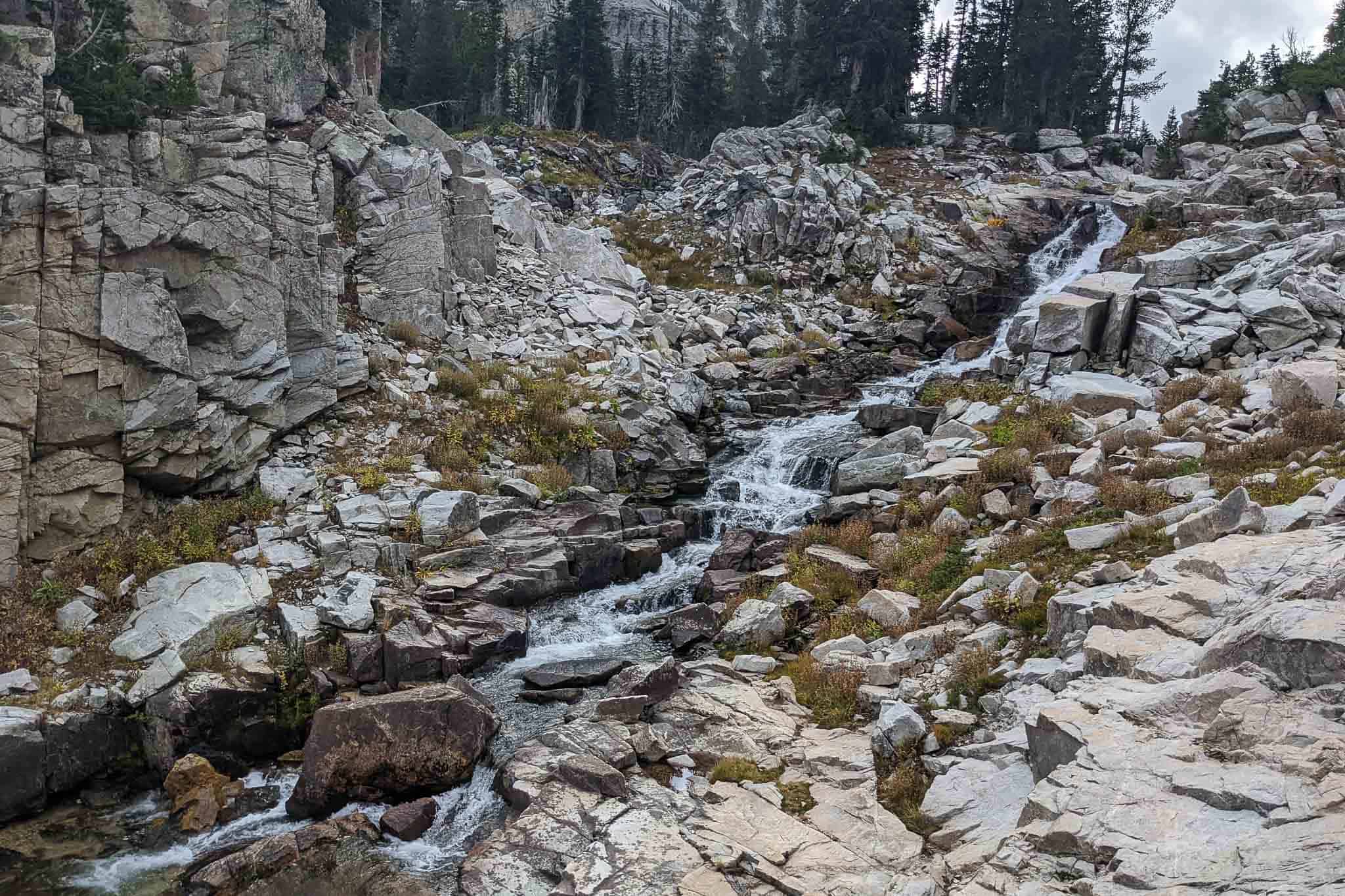
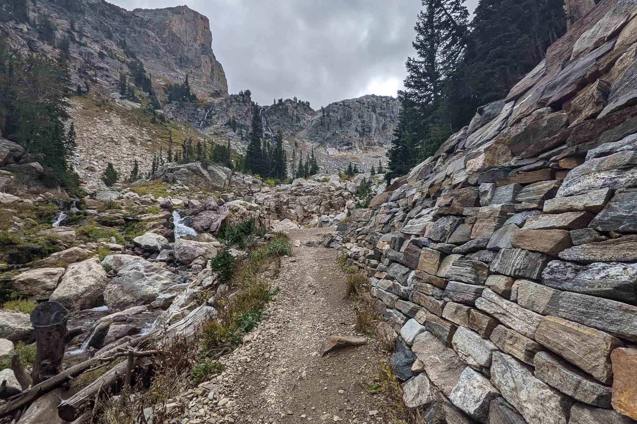
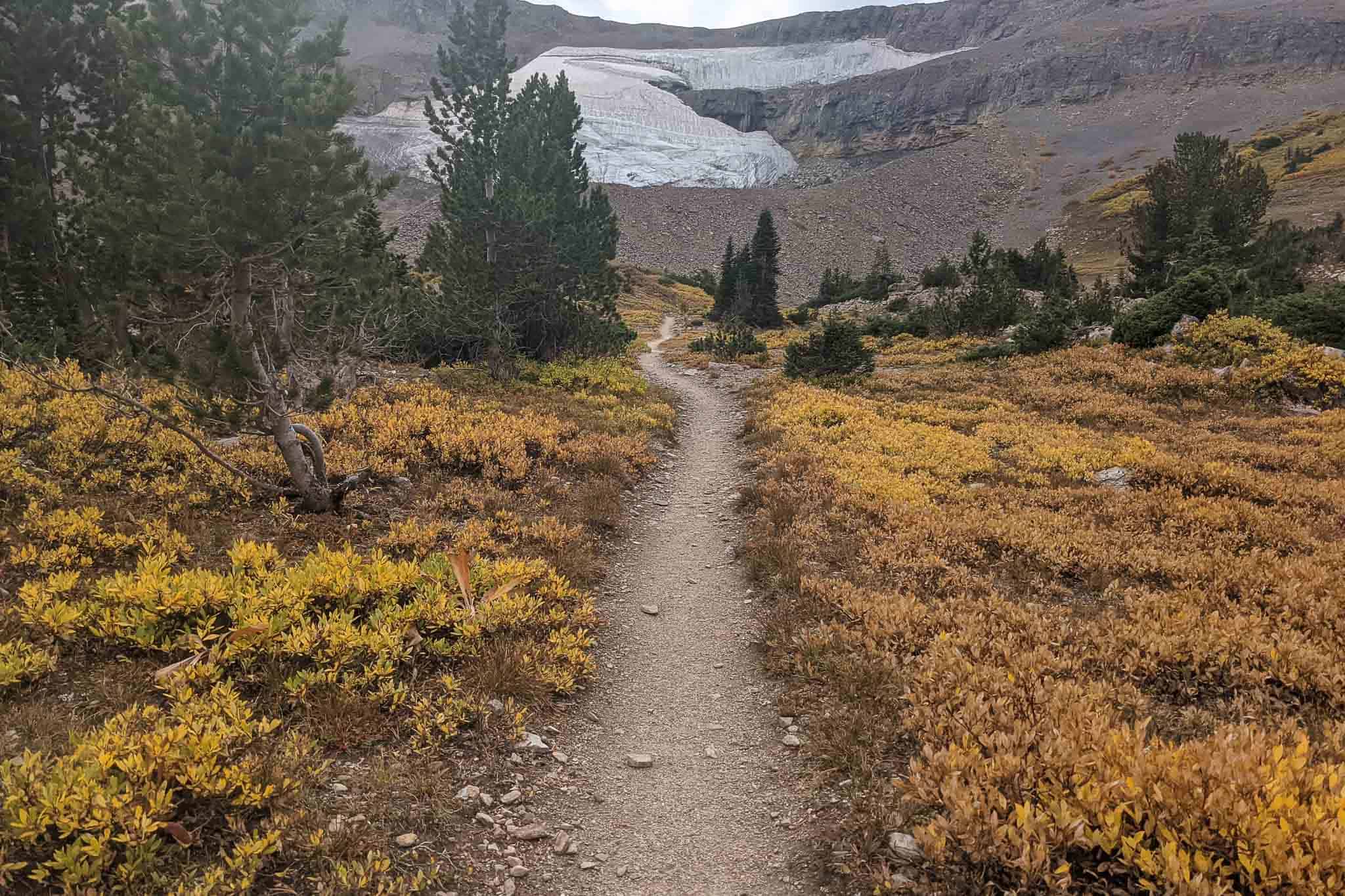
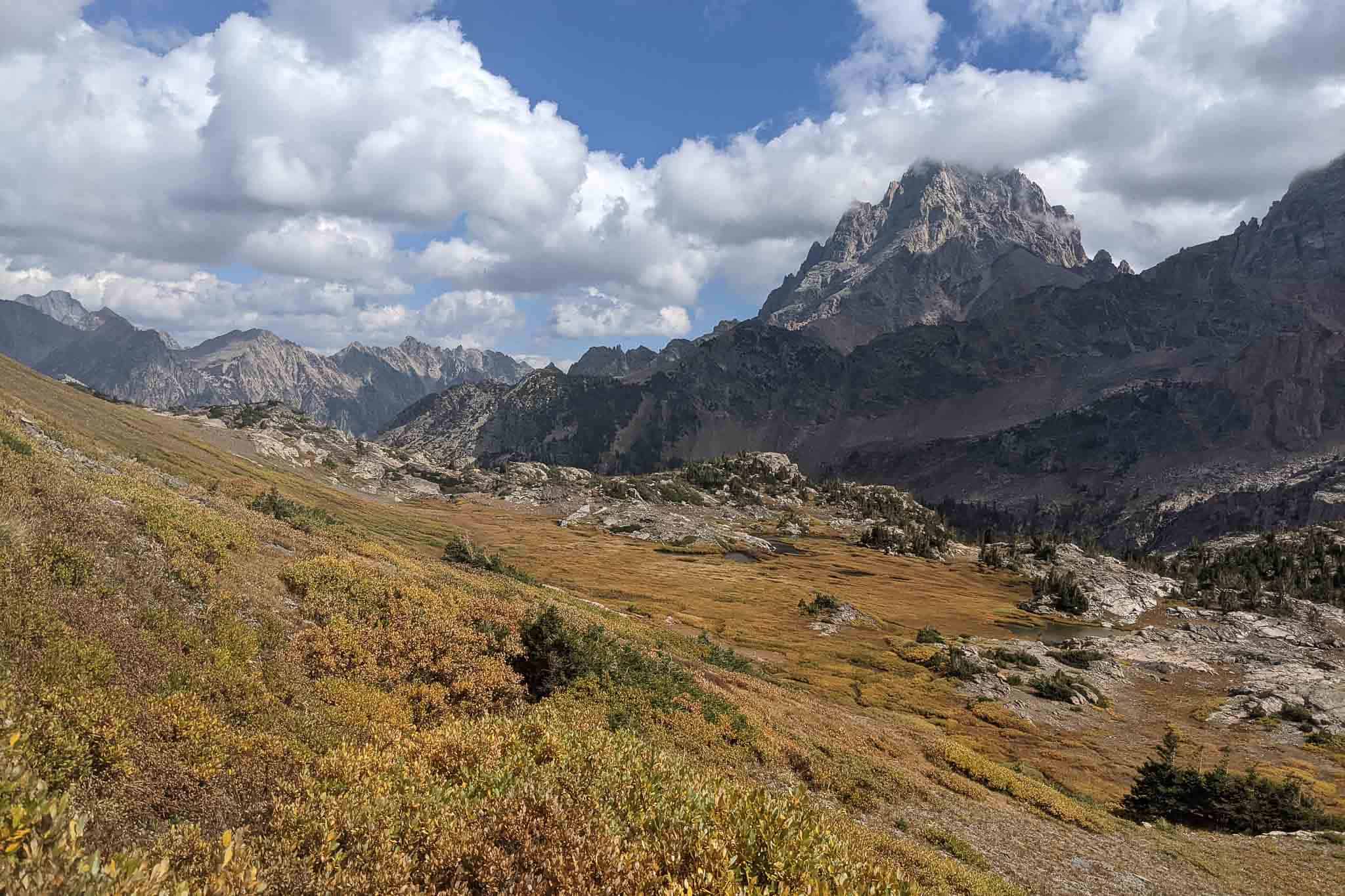
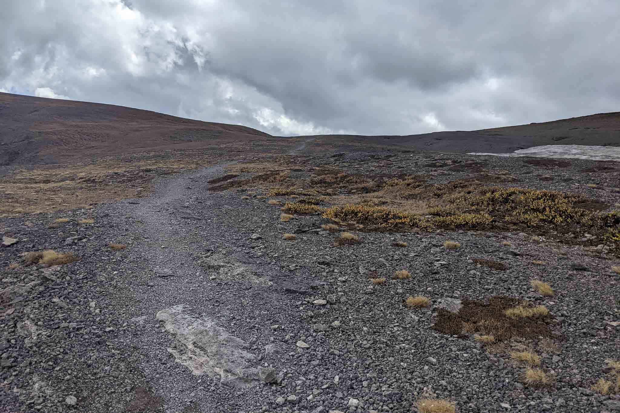
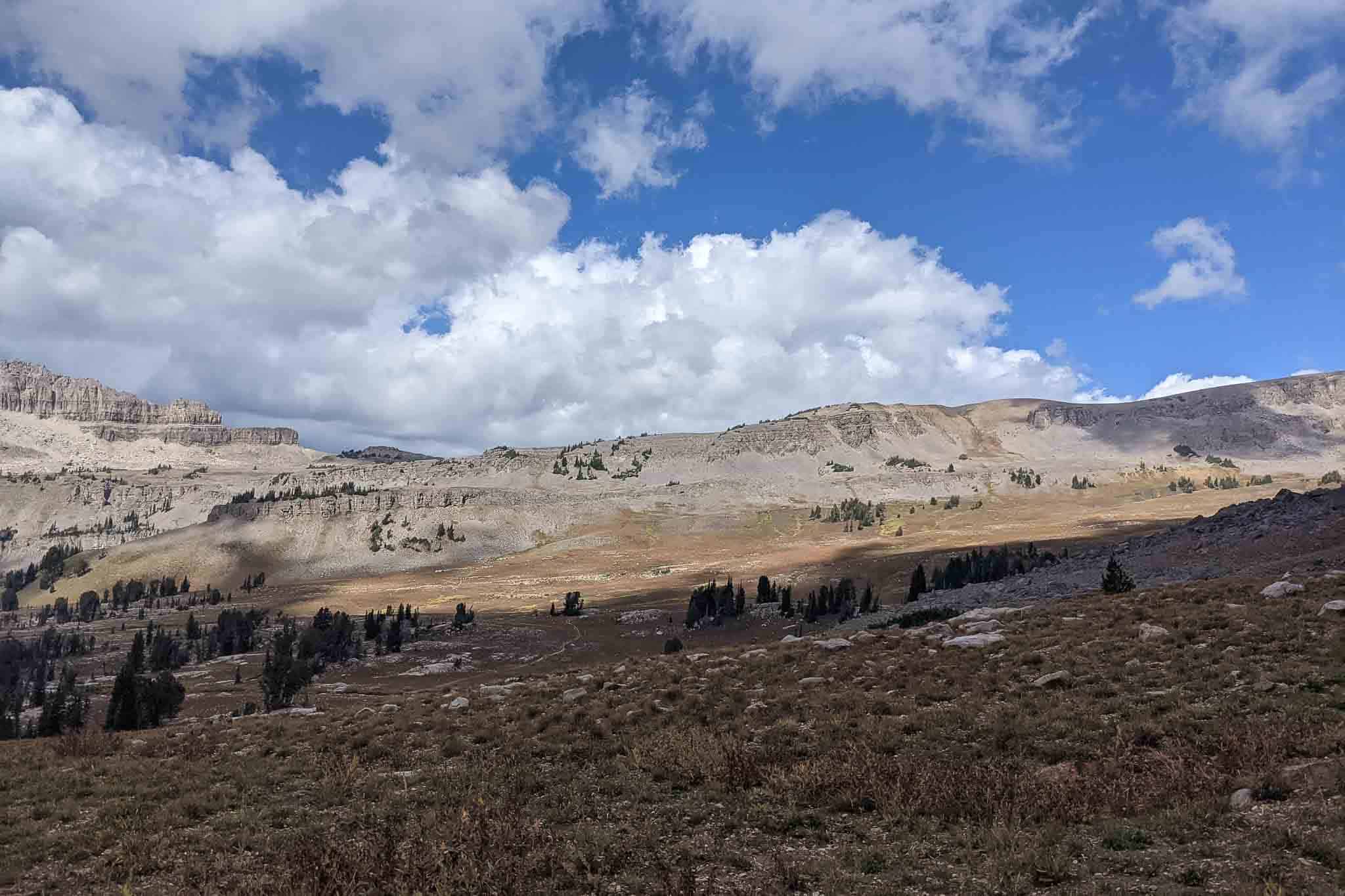
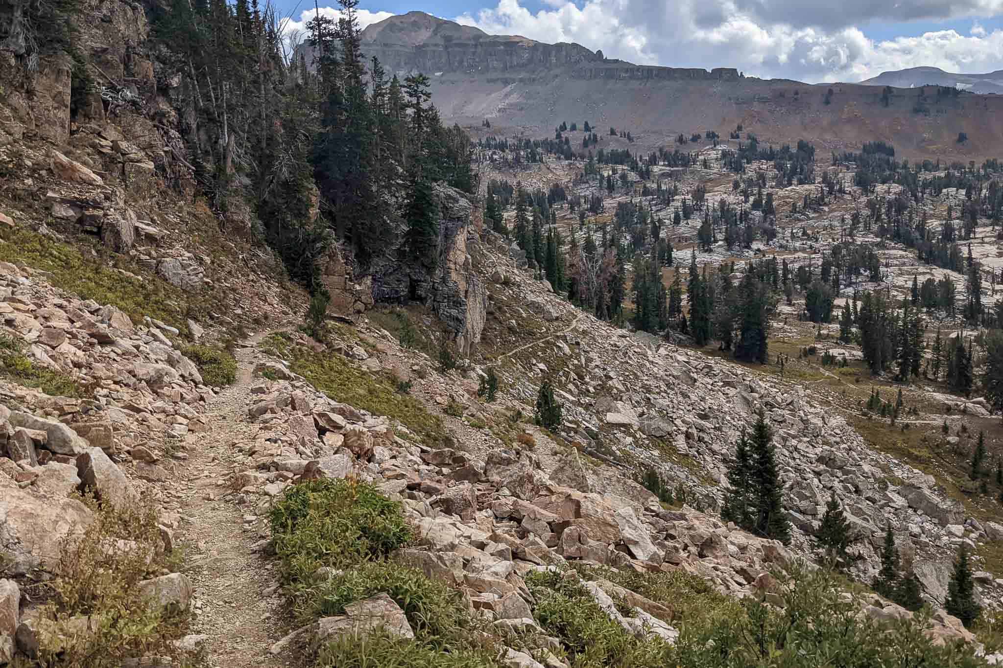
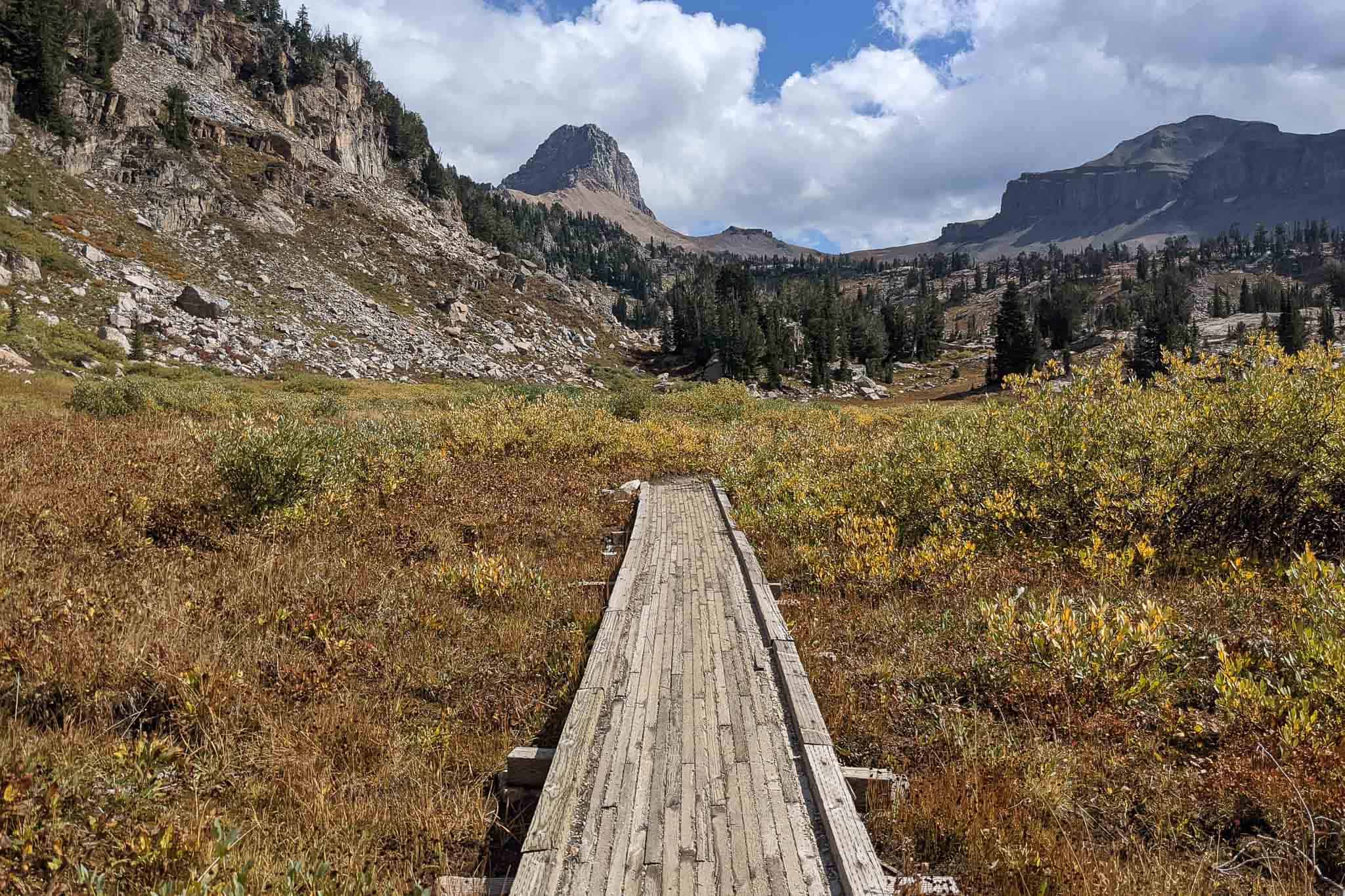
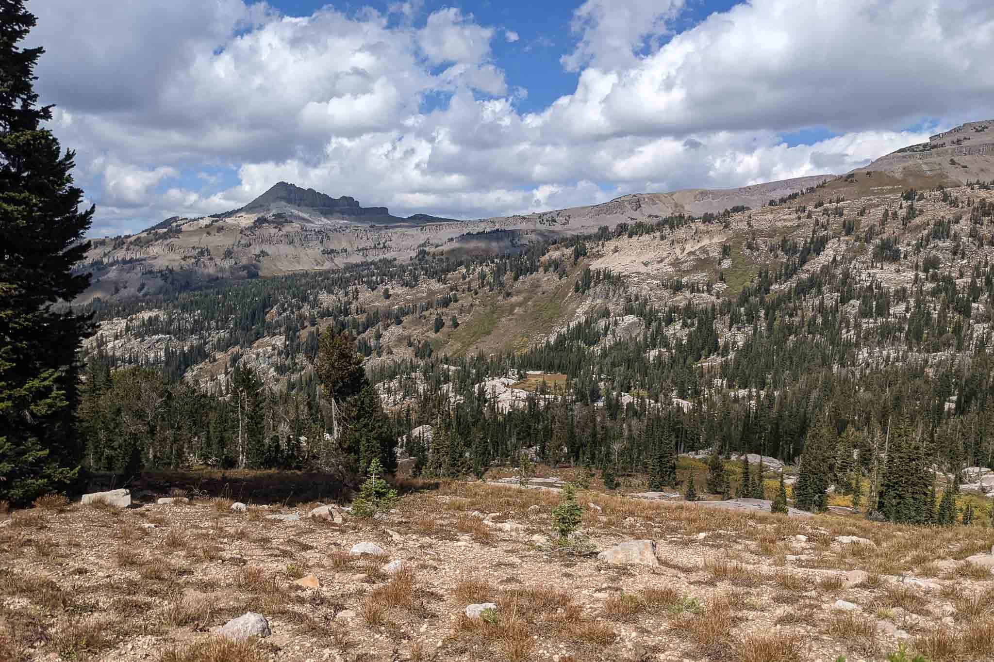
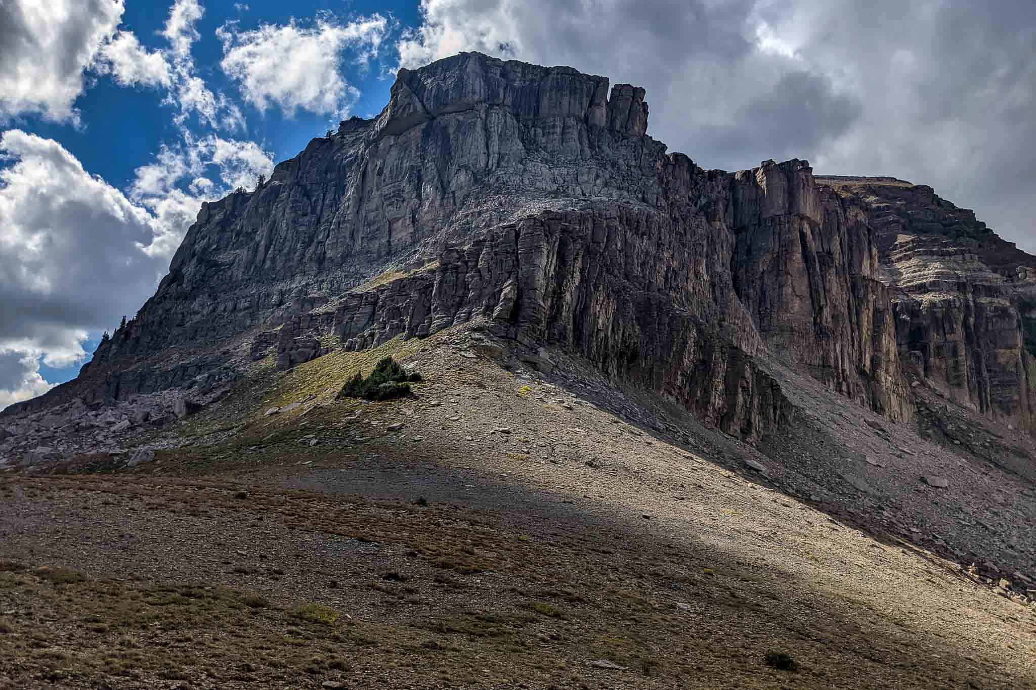
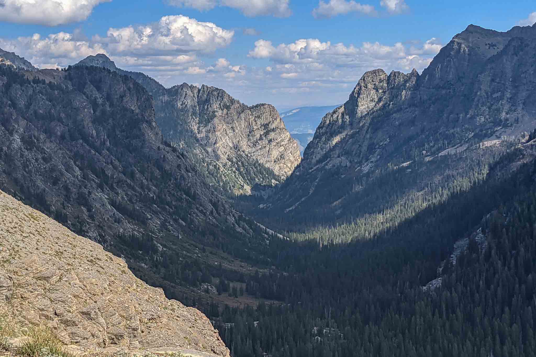
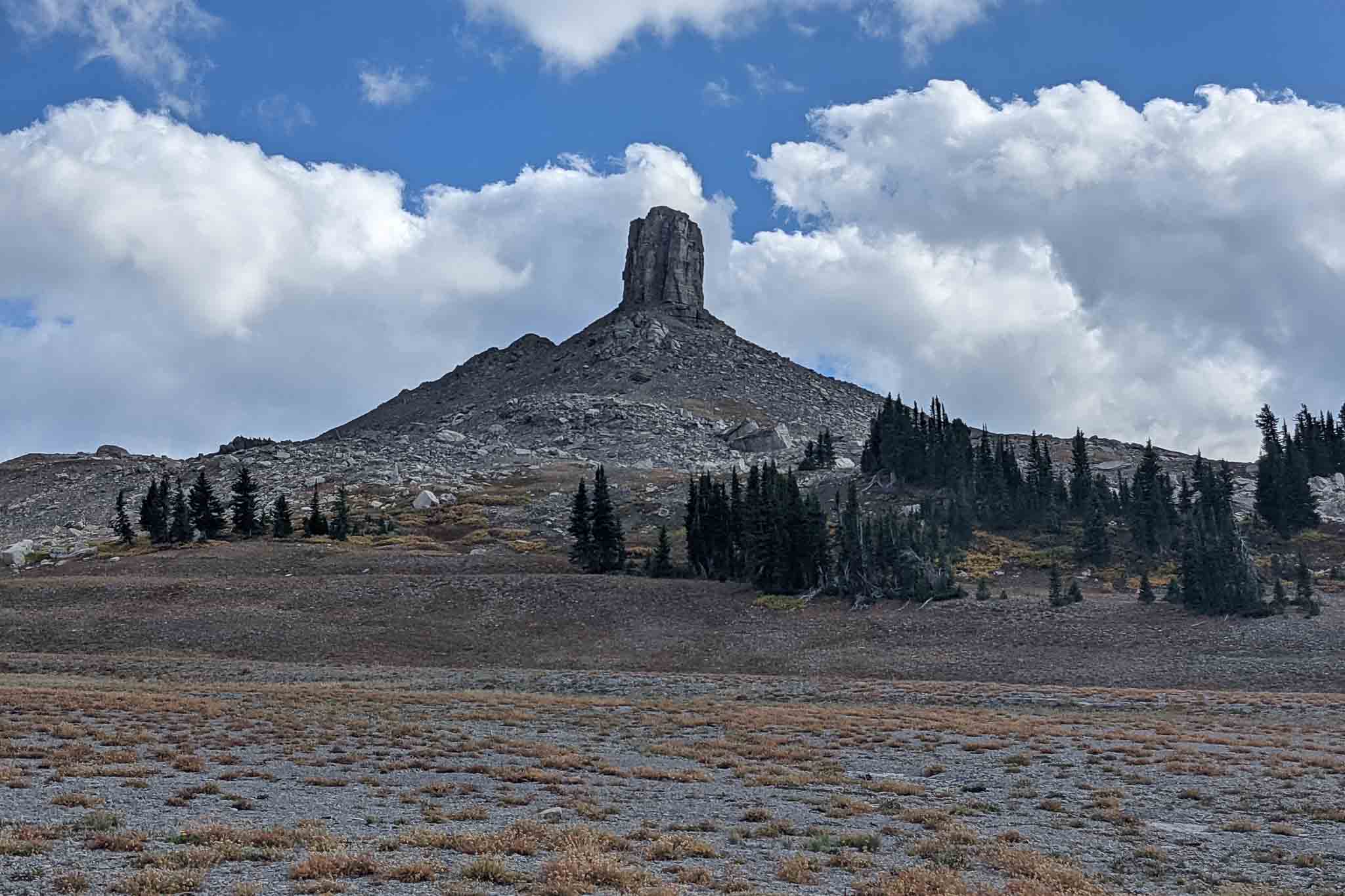
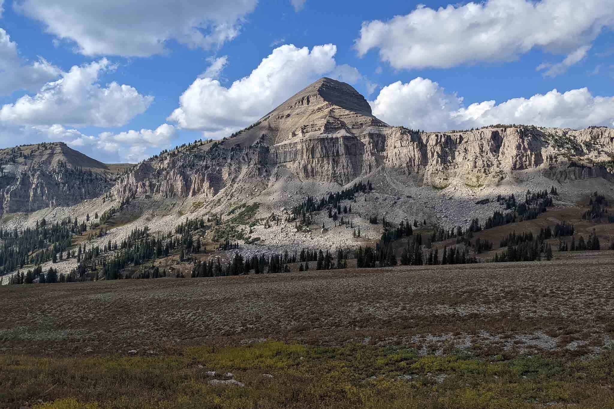
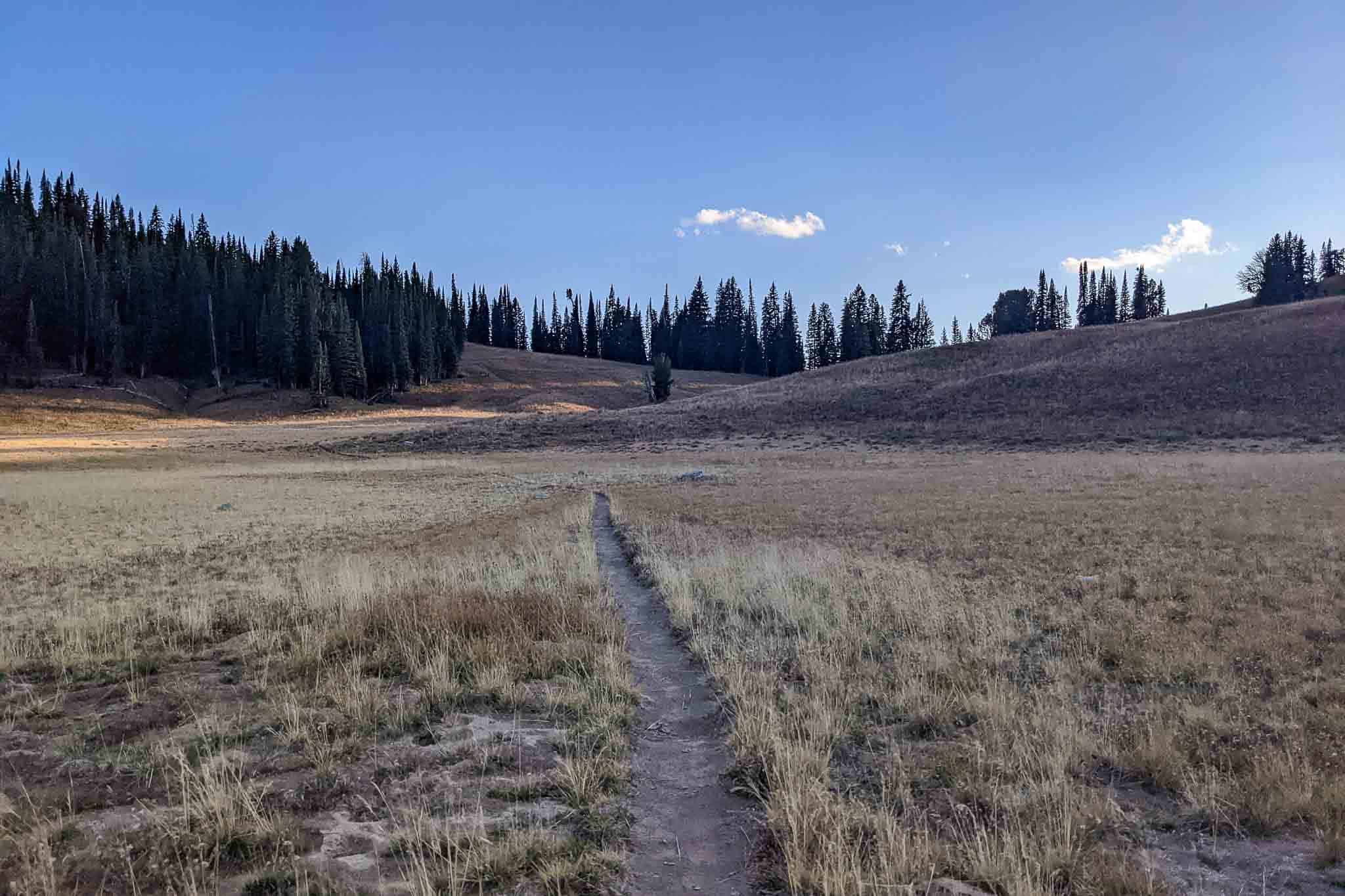
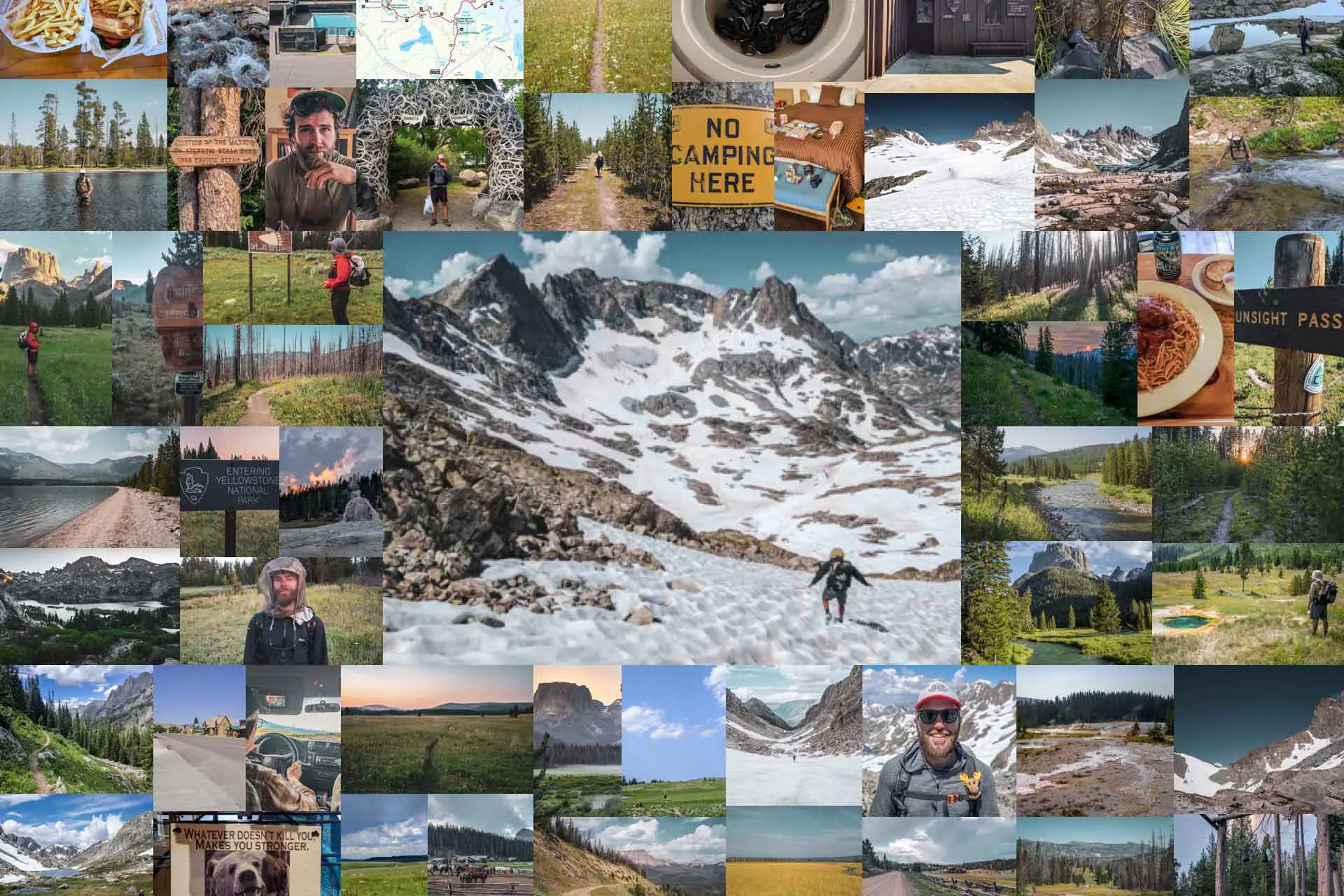
Photo Gallery


Getting to Grand Teton National Park
Grand Teton National Park is located in Wyoming, just east of the Idaho-Wyoming border. It’s in the northern half of the state, south of Yellowstone National Park.
Jackson, Wyoming, is located just southeast of the park and is where most people will base themselves during a visit to the Tetons. Jackson Hole Airport (JAC) is just north of Jackson and is the closest commercial airport to Grand Teton. The airport is located within the park boundary, making it the only commercial airport that’s located inside a national park.
- Jackson Hole Airport
- Grand Teton National Park Road Status
- Grand Teton National Park Basic Information
The park entrance fee is $35 per vehicle, $30 per motorcycle, or $20 for a hiker/biker. Passes are valid for seven days. If you don’t have one already, I would suggest purchasing an America the Beautiful Pass for $80. It grants you unlimited entry into all national parks for a year (from the purchase date).
By car, Salt Lake City, Utah, is approximately 300 mi / 483 km (5-6 hours) away. Denver, Colorado, is approximately 550 mi / 885 km and about 8-10 hours away.
Around 20 minutes of driving (toward the park) from Jackson is Teton Village (at the base of the Jackson Hole Mountain Resort). This is where you’ll find the Aerial Tram that can be used to access the southern portion of the Teton Crest Trail.
Trailheads
The Teton Crest Trail has multiple trailheads. The northern trailhead is at the Leigh Lake Trailhead (map) near the mouth of Paintbrush Canyon. This is where most people will start or end their hikes.
The southern trailhead for the Teton Crest Trail is where you’ll find more variability between hikes. A common route is to take the Aerial Tram (map) from Teton Village. This cuts off a lot of elevation gain and drops you off at the top of Rendezvous Mountain (map).
Alternatively, the southernmost trailhead is located along Highway 22 at Phillips Bench Trailhead (map). The hike between here and the Leigh Lake Trailhead is the longest version of the Teton Crest Trail you can hike (and the one that will be described here).
Note: If you do not have private transportation and you’re looking to get a ride to or from any of these trailheads, hitchhiking is also an option available to you.
Leigh Lake Trailhead (North)
If you’re hiking the Teton Crest Trail, the Leigh Lake Trailhead is the undisputed northern terminus.
Some hikers may choose to begin or end their hikes at Jenny Lake via Cascade Canyon, but this is an alternate. Doing this also requires either paying for a shuttle across the lake or hiking around the lake back to the parking lot/road.
The String Lake Parking Lot at the trailhead allows overnight parking so long as you have a backcountry permit.
Aerial Tram Trailhead (South)
The Aerial Tram is located in Teton Village at the base of Jackson Hole Mountain Resort.
You can choose to hike a shorter (and arguably less logistic-heavy) Teton Crest Trail by starting or ending your hike here. Over twelve minutes, the tram ascends 4,139 ft / 1,262 m from Teton Village to Rendezvous Peak. From here, it’s a 4.25 mi / 6.83 km hike to meet the main Teton Crest Trail.
Purchased online ahead of time, an adult tram ticket is $35. Purchased at the window, tickets are $42 per adult. The first tram leaving the bottom departs at 9 a.m., and the last tram leaving the top departs at 5:30 p.m. Trams run every 15 minutes. Riding the tram down is free (i.e., you’ll only need to pay if you begin your hike at the tram).
There is no overnight parking in Teton Village (unless you’re a homeowner or hotel guest). There is a bus that runs between Teton Village and Jackson. The fare is $3 one-way. Alternatively, you can hire a taxi or rideshare from Teton Village.
- START Bus (Servicing Jackson and Teton Village)
- Parking, Shuttles, and Buses (Teton Village)
Highway 22 / Phillips Bench Trailhead (South)
Phillips Bench Trailhead on Highway 22 (Teton Pass Highway) is the southernmost point to begin or end a Teton Crest Trail hike.
The trailhead is located 11 mi / 18 km west of Jackson on a mountain road. You’ll need to be dropped off or picked up here by a private vehicle. There is a free dirt parking area across the highway from Phillips Bench Trailhead.
Where to Stay
Grand Teton National Park, Jackson, Teton Village, and Victor (Idaho) all have plenty of options for accommodation if you’re looking to stay somewhere before or after your hike.
Jackson
Jackson (map) is the most popular place people stay when visiting Grand Teton National Park. It’s a town built on tourism and can be expensive. It has all the conveniences of a modern city and everything you’ll need to prepare for a Teton Crest Trail hike, including supermarkets and gear shops. There’s even a free bus within city limits. You’ll have your choice of hotels, motels, or vacation rentals. There are no campgrounds in Jackson.
Grand Teton National Park
Lodging is also available within Grand Teton National Park. If you’re planning to stay in the park, you should come prepared with everything you’ll need to hike the trail, as Jackson will be the best option for getting gear and food.
The closest you can stay to the northern trailhead is Jenny Lake Lodge (map). There’s also the Jenny Lake Campground (map) a bit further south. Vehicle-accessible sites are $41/night, and hiker/biker sites (for those without a vehicle) are $13/night. Campground reservations can be made on Recreation.gov.
You can find all lodging options available within the park here. A list of park campgrounds can be found here.
Teton Village
Teton Village (map) is another option for accommodation. The Aerial Tramway is in Teton Village, and it’s the southern terminus for many Teton Crest Trail hikes. There are several hotels here, along with some restaurants and some small options for food resupply. Jackson is still your best bet for any big shopping. There’s a bus that runs between Teton Village and Jackson.
Victor
If you have a vehicle or are really into hitchhiking, you can also check out Victor (map) – just across the border in Idaho – as a place to stay. There are many hotels, restaurants, shops, and markets in Victor. You can expect it to be less expensive than Jackson, but it’s also not as conveniently located (unless perhaps you’re looking to start/end and get picked off/dropped off at Phillips Bench Trailhead).
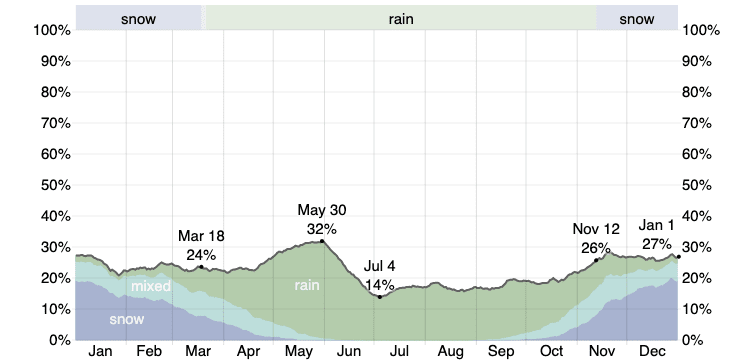
When to Hike
The Teton Crest Trail is typically hiked in the summer or fall. The Tetons generally see heavy snowfall in the winter, and it can take all spring to melt out, depending on the year. The permitted hiking season lasts from May 1 through October 31.
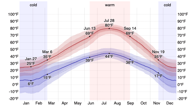
Peak Season (July to September): The most popular months for hiking the Teton Crest Trail are June to September. During these months, temperatures in Grand Teton National Park range from around 35°F / 1°C to 80°F / 27°C depending on the month and your elevation. These months are also typically drier than those preceding and following. Note that snow can linger in the high passes until as late as August, depending on the year.
Spring (April to June): Spring is generally considered too early to hike the Teton Crest Trail as much of the Tetons are typically under snow. If you’re going to be attempting a hike in spring, expect cold temperatures, precipitation, and lots of snow on the ground. If you’re wondering, “When will the trail be snow-free?” the answer – every year – is “you just have to wait and see.”
Fall (October/November): Fall can be an excellent time to hike the Teton Crest Trail, as there are fewer crowds and cooler daytime temperatures. That said, winter can arrive at any moment, so if you’re counting on a November hike being snow-free, I would reevaluate your expectations.
Winter (December to March): The Tetons generally see heavy winters with a huge amount of snowfall. If you’re reading this wondering whether a winter Teton Crest Trail hike is for you, then it’s probably not. Winter in the Tetons requires a huge amount of prior skill and experience.
©WeatherSpark.com
©WeatherSpark.com
Teton Crest Trail Permits
You need a permit if you’re planning to camp along the Teton Crest Trail. So unless you’re planning to hike the entire trail in a day (or camp in Alaska Basin – more on this below), you will need a permit for the Teton Crest Trail. Permits are required between May 1 and October 31 and can be obtained on Recreation.gov.
Groups of between seven and twelve persons are required to use group sites.
Advance Permits
One-third of backcountry campsites and group sites may be reserved online in advance on Recreation.gov beginning the first Wednesday in January through May 15. Advance permits for the Teton Crest Trail cost $45 regardless of their duration (i.e., a one-night permit for one person costs the same as a ten-night permit for twelve people).
After May 15, you cannot get an advance backcountry camping permit for Grand Teton National Park, and you must get an in-person walk-up permit.
Walk-Up Permits
The remaining two-thirds of permits (and any not claimed during the advance registration window) are filled on a first-come, first-served basis and in person at park permit offices no more than one day before the trip begins. Walk-up permits for the Teton Crest Trail cost $35 per group regardless of their duration (i.e. a one-night permit for one person costs the same as a ten-night permit for twelve people).
You can find a complete listing of Grand Teton visitor centers and ranger stations here.
How Permits Work
You need a reservation for each night you intend to camp along the Teton Crest Trail. You can include up to ten nights on a single permit. Reservations are made for camping zones – not specific campsites. Zones are marked with a sign, and everyone with a permit can choose where they wish to camp (so it’s first-come-first-served in this regard). Camping in previously impacted campsites is strongly encouraged.
The camping areas on the Teton Crest Trail are (from north to south):
- Paintbrush Lower (12-person quota)
- Outlier Site (6-person quota)
- Holly Lake (6-person quota)
- Paintbrush Upper (12-person quota)
- North Fork Cascade (12-person quota)
- South Fork Cascade (18-person quota)
- Alaska Basin (no quota)
- Death Canyon Shelf (12-person quota)
- Fox Creek Pass (no quota)
- Marion Lake (6-person quota)
- Granite South/Middle Fork (24-person quota)
Here is a map of all camping zones along the Teton Crest Trail.
Gear & Packing List
For a multi-day backpacking trip on the Teton Crest Trail, you’ll need a complete three-season backpacking setup. You should have everything you need to sleep outdoors, and you should go in with the expectation that you’ll experience cold temperatures and wet weather (even if the forecast calls for sun – weather in the mountains can change quickly).
FOOD STORAGE: You are required to bring an approved food storage container if camping anywhere along the Teton Crest Trail. This means either a bear canister (like a BV450 or BV500) or an Ursack (the Major and AllMitey are both approved for use). If you do not have a bear canister, Grand Teton National Park will rent you one for free.
BEAR SPRAY: When traveling in grizzly bear country, it’s always wise to carry bear spray – especially if you’re traveling alone. If you have bear spray, make sure it’s not expired, and test it (somewhere outdoors and away from others) before you start your hike. And make sure you carry your bear spray somewhere it’s accessible – don’t bury it in your pack.
MAP: The Teton Crest Trail is nice because you can see the entire thing on a single map – the entirety of Grand Teton National Park even. I generally use my phone to navigate – I suggest Gaia if you aren’t already familiar – but a paper map is a great backup (and gives you an easy way to visualize the entire trail at once).
PERSONAL LOCATOR BEACON (PLB): A personal locator beacon is an essential piece of backcountry equipment that all too often gets dismissed or left behind. If you don’t already have a device like a Garmin inReach Mini 2, it may be wise to check one out. At the least, its two-way messaging feature could be used to assist with logistics. At best, its SOS capabilities could save a life.
ICE AXE: If you’re planning to hike the Teton Crest Trail earlier in the season, you may want to go equipped with an ice axe. One of the most important things about traveling with an ice axe? Knowing how to use it. Make sure you get a properly sized ice axe and that you know how it’s used before you set off.
MICROSPIKES: As with the ice axe, a set of microspikes or hiking crampons is recommended if you’ll be hiking the Teton Crest Trail in the first half of the summer – even as late as August some years. The passes can hold snow and ice, making travel potentially dangerous without proper equipment.
For more recommendations on backpacking gear, check out my current gear list or gear reviews.
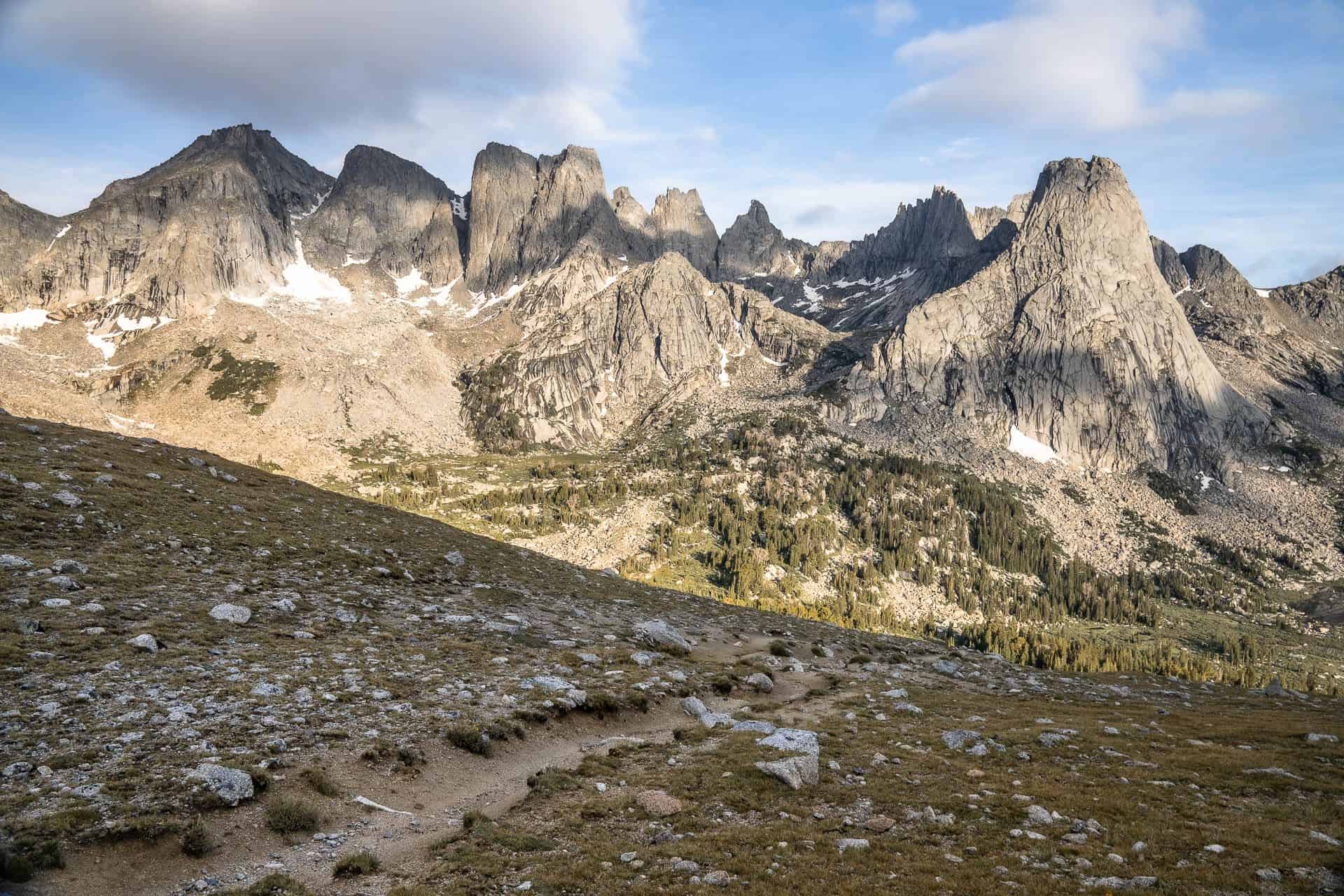
Route Description
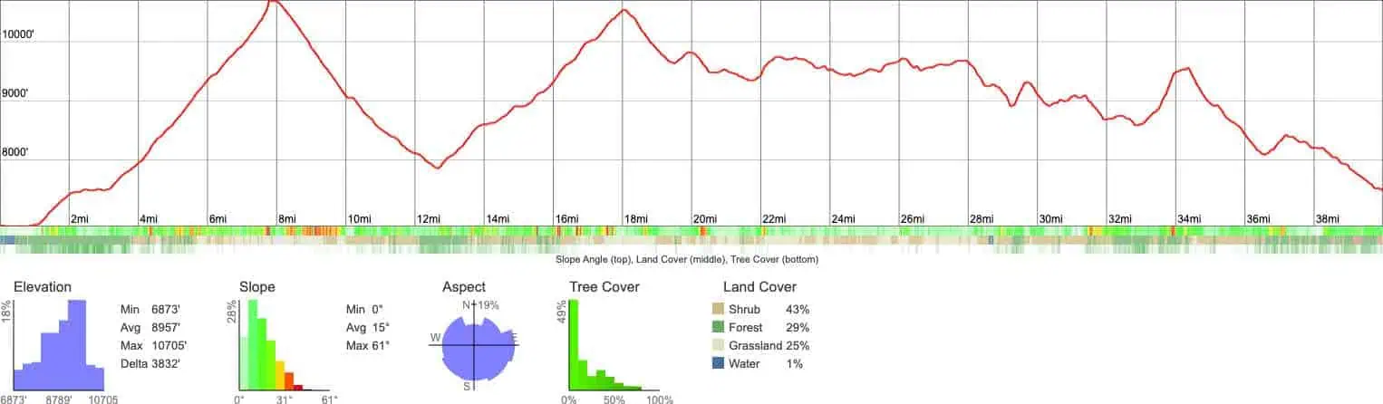
This Teton Crest Trail route description will cover the trail from north to south, beginning at Leigh Lake Trailhead and ending at Phillips Bench Trailhead along Highway 22. Hiking in this direction has approximately 1,000 ft / 305 m more elevation gain than loss.
The trail begins with its longest climb – up Paintbrush Canyon, nearly 8 mi / 13 km to Paintbrush Divide at 10,705 ft / 3,263 m. There are multiple camping opportunities in the canyon if you don’t want to conquer this all in a single day (Paintbrush Lower, Outlier Site, Holly Lake, and Paintbrush Upper).
From Paintbrush Divide, the trail then has its longest descent – 2,851 ft / 869 m across 4.9 mi / 7.9 km – passing Lake Solitude, North Fork Cascade Camping Zone, and bottoming out at the junction for the Cascade Canyon Trail.
It then climbs along South Fork Cascade Creek through South Fork Cascade Camping Zone and up to Hurricane Pass at 10,338 ft / 3,151 m. This is the second-longest and final significant climb of the Teton Crest Trail. South of Hurricane Pass, you enter the Jedediah Smith Wilderness and the Alaska Basin.
The trail descends from the pass, passes a series of reliable lakes, and spends around 4.9 mi / 7.9 km in the wilderness area before reentering Grand Teton at Mount Meek Pass. There is an alternate route from the Alaska Basin, past Static Peak, and east out of Death Canyon. South of Mount Meek Pass is the Death Canyon Shelf Camping Zone, where there are seasonal streams and views down Death Canyon.
At the southern end of Death Canyon Shelf, you can continue south on the Teton Crest Trail or follow Death Canyon Creek down to the Death Canyon Camping Zone and exit the mountains via Death Canyon. Continuing on the Teton Crest Trail over Fox Creek Pass, the trail again briefly enters the Jedediah Smith Wilderness for approximately 1.5 mi / 2.4 km.
Reentering Grand Teton via an unnamed pass, the trail drops down to Marion Lake and then passes the junction for Granite Canyon. Continuing south, past the reliable Middle Fork Granite Creek, the trail enters the Granite South/Middle Fork Camping Zone. It’s here you can detour to Rendezvous Peak and the Aerial Tram to Teton Village.
South of this junction, the trail exits Grand Teton for the final time and enters the Jedediah Smith Wilderness via Moose Basin. There’s typically only one perennial water source in this final stretch – about halfway between the national park boundary and the trailhead. The trail for this final section is easy to follow, but it’s not maintained as well as the rest of the trail (within Grand Teton).
There’s a final climb of close to 1,000 ft / 305 m heading south out of the wilderness to Phillips Bench Trailhead/Highway 22, but the overall grade is downhill for this stretch.
Itinerary
The Teton Crest Trail is 35-40 mi / 56-64 km, depending on where you decide your southern terminus will be (the Aerial Tram or Phillips Bench Trailhead). You could do the entire trail in a single day or take as many as ten days to complete the trail. Most people will average between three and five days.
Here’s a northbound, five-day Teton Crest Trail itinerary beginning at Phillips Bench Trailhead and ending at Leigh Lake Trailhead.
- Day 1: Phillips Bench Trailhead to Granite South/Middle Fork (~9.2 mi / 14.8 km)
- Day 2: Granite South/Middle Fork to Death Canyon Shelf Zone (~6.1 mi / 9.8 km)
- Day 3: Death Canyon Shelf Zone to South Fork Cascade Zone (~9.6 mi / 15.4 km)
- Day 4: South Fork Cascade Zone to Upper Paintbrush Zone (~8.4 mi / 13.5 km)
- Day 5: Upper Paintbrush Zone to Leigh Lake Trailhead (~9.2 mi / 14.8 km)
Camping Zones
There are eleven camping zones located along the Teton Crest Trail. Your permit needs to include each of the camping zones you wish to camp in. The camping zones are (in order from south to north):
- Granite South/Middle Fork (24-person quota)
- Marion Lake (6-person quota)
- Fox Creek Pass (no quota)
- Death Canyon Shelf (12-person quota)
- Alaska Basin (no quota)
- South Fork Cascade (18-person quota)
- North Fork Cascade (12-person quota)
- Paintbrush Upper (12-person quota)
- Holly Lake (6-person quota)
- Outlier Site (6-person quota)
- Paintbrush Lower (12-person quota)
Groups of seven or more must camp at one of the designated group sites.
Note: The trail also exits Grand Teton briefly between the unnamed pass just north of Marion Lake and south of Fox Creek Pass. This is another area in the Jedediah Smith Wilderness where there’s no camping quota. The same is true of the entirety of the southernmost 9.2 mi / 14.8 km of the trail between Phillips Bench Trailhead and Moose Basin (where an unnamed pass separates Grand Teton from the Jedediah Smith Wilderness).
Jedediah Smith Wilderness
The Jedediah Smith Wilderness is an oddity to note on the Teton Crest Trail. The Jedediah Smith Wilderness is not in Grand Teton National Park; it’s part of the Caribou-Targhee National Forest. There is no permit required to camp in the Jedediah Smith Wilderness. However, you can still select the areas within the wilderness when putting your itinerary together; they are Alaska Basin and Fox Creek Pass.
All Jedediah Smith Wilderness campsites must be at least 200 ft / 60 m from lakes and 100 ft / 30 m from streams. There are no fires allowed in these portions of the Jedediah Smith Wilderness.
Alaska Basin
The Alaska Basin, part of the Jedediah Smith Wilderness, is located on the Teton Crest Trail between Mount Meek Pass to the south and Hurricane Pass to the north.
This stretch is approximately 4.9 mi / 7.9 km. There isn’t a quota for camping in the Alaska Basin. Despite not being in Grand Teton, you will still need to select it when getting your permit and reporting where you intend to camp each night (if you plan on camping in the park before/after camping in the basin).
Fox Creek Pass
There is an additional small piece of the Teton Crest Trail outside Grand Teton between the unnamed pass north of Marion Lake and south of Fox Creek Pass (northwest side of Spearhead Peak). This is a small 1.5 mi / 2.4 km section of trail.
Camping here does not require a permit from Grand Teton since you will be outside its boundary. However, if you’re going to camp in Grand Teton before or after camping here, you’ll need to include it on your itinerary.
Moose Basin
The area between the southernmost trailhead (Phillips Bench Trailhead) and Moose Basin is another area of note that’s not in Grand Teton National Park.
This means (as noted above) that the southernmost 9.2 mi / 14.8 km of the trail is not located in the park, and there are no camping restrictions here. If you’re beginning your hike from Phillips Bench Trailhead and camping before entering Grand Teton National Park, you do not need a permit until your first night camping in the park.
Water Sources
Water on the Teton Crest Trail is generally not much of an issue.
You typically won’t have to hike more than 4 mi / 6.5 km between water sources. The longest stretch of the trail where water isn’t abundant is the southernmost 10 mi / 16 km from Phillips Bench Trailhead to the Grand Teton boundary. Generally, there’s one reliable creek about halfway through this section and a few seasonal streams between this creek and the Grand Teton boundary.
All the water – from lakes and streams – along the Teton Crest Trail should be filtered. If you’re traveling solo, something like a Platypus QuickDraw will work great. The Platypus GravityWorks is an excellent choice if you’re in a group.
Map
The following is an overview of the Teton Crest Trail with landmarks. Note that this should be used as a guide, and it is not necessarily 100% representative of what’s on the ground (i.e., you shouldn’t just be blindly trying to follow this track).
I’ve included a few alternate routes and tried to label all the noteworthy landmarks along the trail (e.g., the Grand Teton boundaries and passes). There’s also an overview map of the entire trail available here.

Alternates
There are a few alternate routes you can take if you want to change up your Teton Crest Trail hike or shorten it beyond starting/ending at the Aerial Tram – which is the first alternate we’ll cover. There are a lot of ways to and from the Crest Trail, so it will be helpful to use this map when exploring your options.
Aerial Tram/Rendezvous Peak
The trail from the Aerial Tram to the Teton Crest Trail is 4.1 mi / 6.6 km. It is 5.1 mi / 8.2 km shorter than the trail to Phillips Bench Trailhead on Highway 22.
If you begin at the Aerial Tramway, you’ll descend 1,869 ft / 570 m and gain 422 ft / 129 m to reach the Teton Crest Trail. If you begin at Phillips Bench Trailhead, you’ll gain 3,087 ft / 941 m and descend 1,580 ft / 482 m.
That means that by taking the Aerial Tramway up to the trail, you’ll save 2,665 ft / 912 m of climbing. If you end at the Aerial Tramway, you’ll end up gaining 289 ft / 88 m more than you would if you hiked to Phillips Bench Trailhead, but you will still be cutting off 5.1 mi / 8.2 km.
Granite Canyon
Granite Canyon is just south of Marion Lake. You can hike the trail through Granite Canyon up to or down from the Teton Crest Trail. Taking Granite Canyon to/from the Teton Crest Trail is longer than taking the Aerial Tramway but not as long as beginning at Phillips Bench Trailhead.
The trail is 8.1 mi / 13 km and gains 2,686 ft / 819 m from the trailhead up to the Crest Trail. From the bottom of the canyon, you can either begin/end at Moose Valley Road or take the Valley Trail to/from Teton Village.
Death Canyon
From either Fox Creek Pass or Alaska Basin, you can hike down or up Death Canyon. It’s 3.8 mi / 6.1 km from the Death Canyon Trailhead up to a junction where you can either go 5.6 mi / 8.9 km south to Fox Creek Pass or 6.7 mi / 10.8 km north to Alaska Basin.
Heading to Alaska Basin, there’s one more junction where you can either hike to Basin Lakes or a bit further north (still in Alaska Basin) to Hurricane Pass. From the trailhead up to Fox Creek Pass, you’ll climb 3,381 ft / 1,031 m from the trailhead. Up to Alaska Basin, there’s somewhere around 4,707 ft / 1,435 m of climbing from the trailhead.
Cascade Canyon
From Jenny Lake up Cascade Canyon to the Teton Crest Trail is 4.1 mi / 6.5 km with 1,127 ft / 344 m of climbing. Taking Cascade Canyon will cut off Paintbrush Divide and Paintbrush Canyon from the Teton Crest Trail.
From the mouth of the canyon at Jenny Lake, you can either catch a boat across to Jenny Lake Campground, hike 2.8 mi / 4.5 km counterclockwise around the lake to the campground, or hike 1.9 mi / 3.1 km clockwise around the lake to Leigh Lake Trailhead.

Conclusion
The Teton Crest Trail is a beautiful and accessible trail that can be taken on as a huge single-day effort or over as many as ten days.
You’ll have your choice of ways to and from the Teton Crest Trail via the multiple canyons penetrating the range’s eastern flank. You’ll have to wait until well into the summer – and even the early fall – before the trail is 100% free of snow, but early-season hiking opportunities are still open to you if you have the proper gear and experience.
I’m always looking to improve upon the information and resources provided in these guides, so if you have any questions, suggestions, or updates, please leave a comment below or get in touch.
Resources
- Permits (Recreation.gov)
- Additional permit information (Recreation.gov)
- Backcountry camping map/information
- Detailed campsite maps (NPS)
- Grand Teton National Park (NPS)
- Backcountry camping (NPS)
- Frontcountry camping (NPS)
- Jackson, Wyoming weather
- Road Status (NPS)
- Parking Information (NPS)
- Jackson Hole Aerial Tram
- START Bus (Servicing Jackson and Teton Village)
Affiliate Disclosure: This page may contain affiliate links, which means I may receive small commissions for purchases made via these links at no additional cost to you. This helps pay the bills and keep the site up and running. Thank you for your support!


Are the quotas listed the total per day (ie. 1/3 advance + 2/3 walkup)? Or the amount available for the 1/3 release in January?
The quotas listed here are the total per day.
Not sure how old this is, but you are permitted to carry firearms within parks for a few years now…
Good catch. That said, they cannot be legally discharged (except during hunting season) and they cannot be used as protection against wildlife.