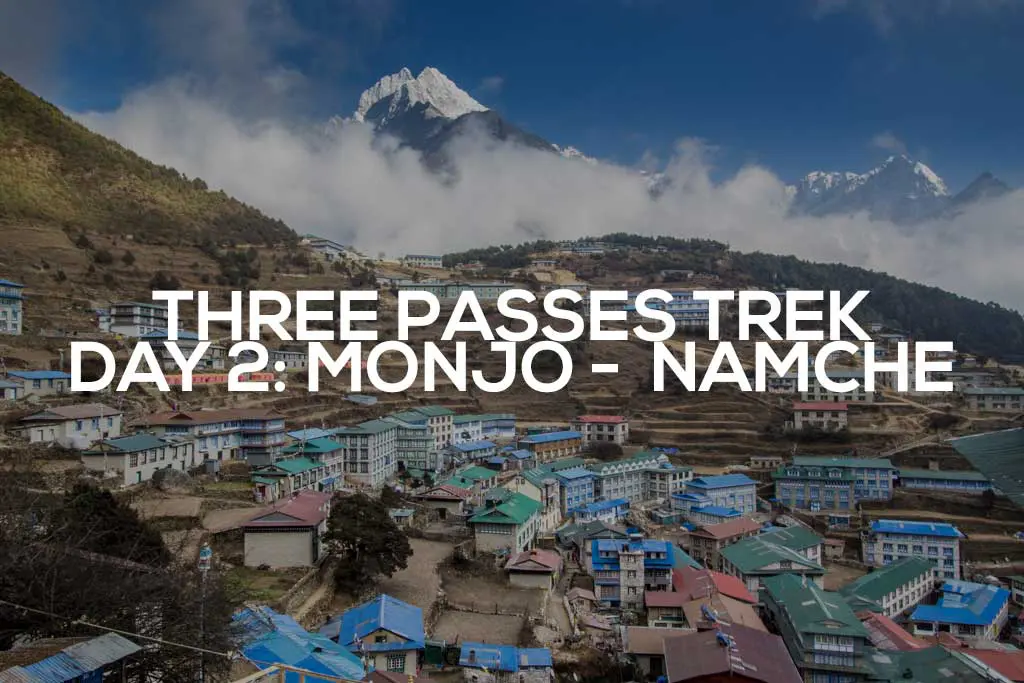
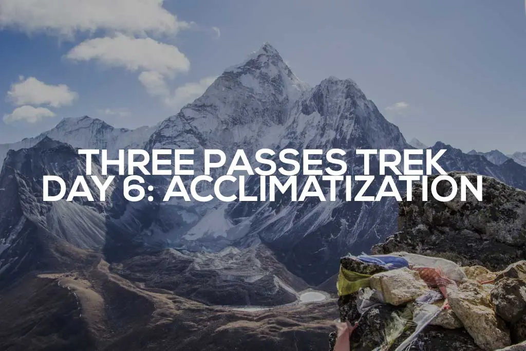
Three Passes Trek Day 4: Namche Bazaar to Pangboche
Today, I broke one of the rules I prescribed for Himalayan hiking: I didn’t check the toilet basin for (liquid) water before passing solid waste (my sincerest apologies to the person who finds this festering later today).
In other news, it’s Tibetan bread with cheese for breakfast, followed by a liter of water to wash it down (hydration at elevation is important, people).
I managed to break my headphones last night, so I stopped by my buddy’s store on my way out of Namche to pick up a replacement pair. Homeboy hooks it up with a discount, which makes the sting of the headphones breaking literally fifteen minutes later a bit less painful (I’ll hit him up on my way out).
After climbing out of Namche, the trail remains relatively flat as it snakes around the eastern edge of the plateau above, offering dramatic views of the mountains to come.

Making it to the village of Kyangjuma (where my friends Pavel and Olga stayed last night) via the main trekking route doesn’t take long, and when I arrive, the place is crowded with trekkers.
I take full advantage of a pit toilet here (that’s actually just a hole in a wooden platform). Again? Yeah, I had a lot of dal bhat last night). Since this is the second time today the bathroom is coming up, allow me to present the benefits of the squat poo:
- You don’t have to put your ass on a filthy (or freezing) toilet seat.
- You aren’t constricting your rectum in a sitting position and creating unnecessary strain to force it open (which may result in incomplete evacuation – perhaps what occurred during my early-morning relief attempt).
- Squatting keeps you stretched and flexible (important for trekking in the montanhas, não?).
Okay, enough about the pooping – back to the trekking.

Shortly after the “village” of Kyangjuma (which isn’t much more than a single lodge), I got my first views of Tengboche (where many people spend the night after leaving Namche Bazaar). Cool, it looks like I’m already at the same elevation—it should just be more of this easy ridge walking to get there, right?
Not exactly.
Not only is Tengboche 650 ft / 200 m higher than where I am now, but the trail between here and there drops approximately 1,000 ft / 300 m to Phungi Thenga, where it crosses the Dudh Koshi River. In case you’re not an addition expert, that means a 1,650 ft / 500 m climb to Tengboche from the river (over 1.5 mi / 2.5 km).
Huzaa!

Descending, the trail passes through several small villages before reaching the bridge over the river, where there’s a final opportunity to stop for tea before the climb.
Honestly, the trail heading up to Tengboche isn’t too bad. As you get towards the top, it fragments a bit, and you may find yourself on a trail other than the “official” trekking route, but they all eventually meet up and lead you to the same place.
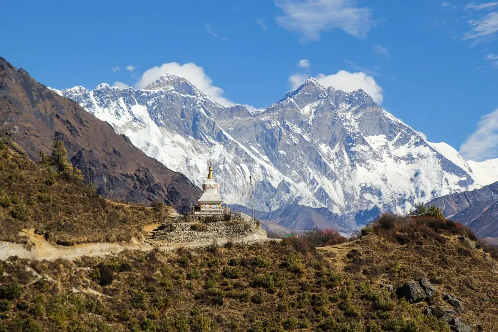
Tengboche is small (especially compared to Namche), but it has great views of Ama Dablam and Everest (just the tip). A visit to the monastery is well worth the investment of your time (what else are you going to do?), and you can even catch the monks chanting if you time your visit right (remember to take your shoes off – and no photos of the interior).
I’ve decided to deviate from the classic itinerary and will not spend the night in this monastery-centric village. Tonight, my destination is a bit further up the valley: Pangboche (387 ft / 118 m higher than Tengboche).


After a quick break, I continue north out of Tengboche as the trail descends again.
I see my first mammal of the trip, a musk deer, as I pass the village of Deboche and head for the Imja Khola River crossing. After crossing the river, it’s another steep climb to Pangboche (though not as dramatic as the climb up to Tengboche).
It was clear all morning, but clouds are now quickly rolling in. Snow might be on the way. And now it’s snowing. Speaking of snow, there was no snow on the ground in Tengboche; last year, it was still partially covered when I hiked through.
On another note, I haven’t seen any signs of Pavel and Olga today. I had been expecting to find them at Tengboche, but after checking all the lodges (there are only three of them), I came up empty. Maybe they got an early start and crushed it to Pangboche? I guess I’ll find out soon enough.


Pangboche is notably larger than Tengboche, and it’s built on a hill, which makes checking all the lodges for friends a bit more inconvenient.
I almost ended up staying at the Eco-holiday Lodge (where I was offered free accommodation), but after being led to a room reeking of cigarettes and with paper-thin particle board walls, I decided it wiser to continue my search elsewhere.
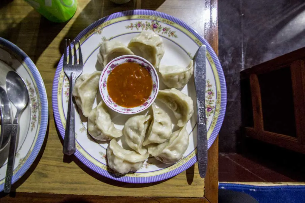
Eventually, I land at the Om Kailash Hotel & Restaurant, where there’s a nice couple from South Africa to replace my now-lost Russian friends (I’ll miss you, Pavel and Olga). Wifi here costs 350 rupees (~$3.50) an hour, but instead of spending my rupees reconnecting to the world, I opt for an extra large dinner of garlic macaroni, cheese momos, and a large pot of tea.
One way or another, I’m sure I’ve earned it.

I unwittingly become a prisoner of the lodge owner’s conversation as she attempts to convince me that I need her husband to guide me over the passes. As uncertain as I am of the trekking to come, I’m still convinced that I’ll be fine on my own (and if I’m not, then all the news reports will be sure to point out my being alone as an incredibly stupid and obvious error).
I’m struggling for an escape—trapped between my dinner and my host’s circular reasoning—when salvation bursts through the door. Pavel and Olga have arrived.
“We found you!” exclaims a breathless Pavel, still dusted in flakes of late-afternoon snow.
“Where did you two go? I have been looking everywhere.” It turns out that they somehow eluded my sleuthing efforts in Tengboche, and I ended up passing them. Oops.

Reunited with his comrades, an American now sits with two Russians, two South Africans, and a handful of Nepalese as they all enjoy the warmth of the dying fire.
By nine-thirty, the temperature inside had dropped well below freezing, and they collectively decided that the hour to retire to their sleeping bags had arrived.
Hopefully, this cloud lifts, and tomorrow, they don’t awake to a snow-covered trail (although that would surely be an incredibly beautiful sight).
- Start: Namche Bazaar (11,286 ft / 3,440 m)
- End: Pangboche (13,074 ft / 3,985 m)
- Distance: 9.4 mi / 15.12 km
- Sleeping elevation change: +1,788 ft / +545 m
- Day’s elevation change: +4,194 ft / +1,278 m
- Total time: 7:42:27
- Moving time: 5:59:14
THREE PASSES TREK DAY: 1 | 2 | 3 | 4 | 5 | 6 | 7 | 8 | 9 | 10 | 11 | 12 | 13
Note: I have no guarantee that this route is correct nor that it can be accurately relied upon for navigation. It should serve only as a general guideline for what the trail is expected to look like. Also, Pangboche is sometimes spelled Panboche (because the Sherpa language is unwritten).