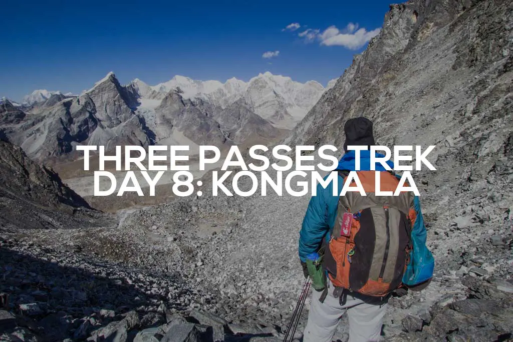
Three Passes Trek Day 8: Kongma La (Chukhung to Lobuche)
Today’s the day; I’m setting out to conquer the 18,159 ft / 5,535 m Kongma La. This will be the first of what will (hopefully) be three passes crossed on this trek (the Three Passes Trek – get it now?). Luckily, I’ve found a crew of three other trekkers who have graciously allowed me to tag along with them on today’s adventure (now there will be someone to recover (or loot) my backpack should I meet my doom).
Yesterday, the owner of the lodge I’m staying at offered me free food after hearing that I had lost $100 during my hike (because I’m an idiot). I’m not trying to take advantage of my host’s generosity so my pre-dawn breakfast consists mostly of large spoonfuls of peanut butter and chapati bread. I expect today to be the most difficult of the trip (thus far). Calories will be needed.
With the sun slowly illuminating the sky outside, we camel up on water and head into the frigid morning air to begin the long hike up and over Kongma La.

Heading west out of the village, we cross a small creek and pick up the trail. After .6 mi / 1 km of easy walking, the real work starts as we begin our ascent (further) into the mountains.
I was worried the trail would be difficult to follow since it’s far less traveled than the (classic) Everest Base Camp trekking route. However, the path is well-defined, and there are even cairns on the lower rockier slopes, which can make navigation a bit tricky. We never stray more than a few steps in the wrong direction before realizing and correcting our route.
It quickly becomes obvious that I am the slowest member of the group and so to not kill myself trying to keep pace, I fall to the back. After a steep initial climb, the trail snakes around a ridge for what feels like forever as I slowly fade into the rearview of my new friends (forever turns out to be 0.6 mi / 1 km).
I try not to think about how much trouble I had making it up Nangkartshang Peak two days ago; the much further climb over Kongma La goes 1,460 ft / 445 m higher.

The American, Doug, is absolutely crushing it. He ends up waiting up for the rest of us multiple times as we slowly progress toward our still-unseen destination (he also has a
sweet jacket that I’m a little jealous of).

I keep expecting to “be able to see the pass soon”, but every time the trail crests another high point I’m disappointed (as I tend to be with most things in life). Eventually, my now daily “not a good time for this” call arrives and I fall even further behind the group when I am forced to stop and answer. Thankfully, my companions appear to have lost a bit of their early-morning steam and I’m able to catch up without breaking down in the middle of the trail and begging for death’s sweet release.
The still well-defined trail continues to wind up the mountainside until we finally get our first sighting of the pass. It doesn’t look too far away? Despite now having glimpsed our destination, what we fail to see is the nearly 1,000 ft / 300 m of elevation and 1.8 mi / 3 km of trail still ahead. This might not sound very far, but I’ve already fallen into my one step per breath pace (that’s an inhale and an exhale) – and I’m not breathing very quickly.


We can see the top of the pass, but the base of the climb has yet to make an appearance. The trail isn’t steep, and the amount of effort required for each step forward seems incredibly disproportionate to the amount of ground gained. A crushing sense of hopelessness weighs heavily on me – it’s a good thing I’m not alone up here right now.
Finally, after nearly four and a half hours of hiking, we reach the large, half-frozen lake directly below the pass. The pass that appears to be an incredibly huge vertical distance above where we are now.
At first it’s unclear which way the trail leads (it goes between the two lakes). I scout ahead to see if things get more obvious. They do. I call back to the group and they quickly catch up to and then overtake me. We begin climbing steeply toward the pass and my pace turns into something more like one step for every two breaths. The top is tantalizingly close but also impossibly far; I try to focus on only the next step.
The half-frozen lake below loudly cracks and pops as the ice shifts and expands in the afternoon sun. It does well to distract me from my exhaustion. Above me, I can see everyone else slowly making it to the pass. As they celebrate, I clumsily drag my feet as I scramble through the boulder field the now-invisible trail has entered. Inch by inch I make my way closer to the top until finally, I’m there, on top of Kongma La.


It’s a chill 25°F / -4°C (surprisingly warm) on top of the pass and if it wasn’t for the strong wind, it would be a rather comfortable place to spend some time. We do some snacking but get chilly once our bodies cool down. It’s time for the descent. Generally, I am a huge fan of descents. That being said, the western side of Kongma La is more like a controlled fall.
From the 18,159 ft / 5,535 m pass the trail now descends nearly the entire elevation we’ve just gained in half the distance. We slide through alternating sections of scree and boulder fields as we all try to not kick loose anything large enough to take out everyone in front of us. I’m not sure if coming up this would be better or worse.
On the way down, our Kiwi companion begins to feel the altitude (or perhaps it’s dehydration) and needs to stop and recover. John the Brit stays behind with him while Doug crushes it to the bottom and quickly disappears out of sight.
I slowly follow as I make my way down to the eastern side of the Khumbu Glacier where the trail flattens out and there’s a nice area to sit and rest. After a short break, I head up the hill (I know, I thought I was done climbing) to the lip of the glacier where I find Doug waiting for us slowpokes. We sit and listen to the ice shift below us as we wait for the rest of the crew.


Soon the rest of our party arrives and we begin across. Based on what I had read/heard before arriving here, I was a little nervous about the crossing.
“A PRECARIOUS TRAIL OF ICE THAT MAY COLLAPSE AT ANY SECOND!”
“A LABYRINTH OF SHIFTING SNOWPACK FILLED WITH POTENTIALLY DEADLY MISSTEPS!“
It was nothing like any of the stories would have you believe.
Yes, there is a crisscrossing mess of trails on the glacier, but you can see your destination (the lip on the other side) nearly the entire time and there are plenty of cairns marking the most navigatable route across. Nothing to be afraid of and no need for microspikes or crampons (at least not during my crossing) – just be ready for a lot of up and down.
Before long we’re at the other side and can (finally) see our destination, Lobuche.

It has taken us nearly nine hours – by far the longest day of the trip – but we have finally made it to Lobuche.
We are also now back on the Everest Base Camp track (Lobuche is the last stop for hikers before Gorak Shep) and my companions will be making a detour to Base Camp tomorrow (my friends always abandon me). Sadly, it does not look like Pavel and Olga (my friends from Lukla to Dingboche) are here.
First we try the Econo Lodge but the employees are dicks so we instead stay in the big two-story lodge with the large courtyard in front (if you saw it, you would know it).
Tonight, I learn how to play rummy (for what I am fairly sure is the fifth time in my life) before we switch to hearts (more my element). One member of the group orders custard for desert and it turns out to be basically orange colored vaseline (it was not finished).
Tomorrow it’s off to the village of Dzongla where I will prepare to take on the second (and most technical sounding) of the three passes, Cho La.

- Start: Chukhung (15,518 ft / 4,730 m)
- End: Lobuche (16,210 ft / 4,940 m)
- Distance: 6.6 mi / 10.61 km
- Sleeping elevation change: +692 ft / 210 m
- Day’s elevation change: +3,623 ft / 1,104 m
- Total time: 8:44:45
THREE PASSES TREK DAY: 1 | 2 | 3 | 4 | 5 | 6 | 7 | 8 | 9 | 10 | 11 | 12 | 13
Note: I have no guarantee that this route is correct, nor that it can be accurately relied upon for navigation. It should serve only as a general guideline for what the trail is expected to look like.