
Wind River High Route: Skurka and Dixon Routes Compared
The Wind River High Route is a mostly off-trail hike through Wyoming’s Wind River Range. However, hikers have two options for hiking the WRHR, one proposed by Andrew Skurka and another proposed by Alan Dixon. Why they have both decided to call their proposed routes the Wind River High Route, I do not know.
If you tell someone you’re going to hike the Wind River High Route, inevitably – those familiar – will ask you whether you’ll be hiking the Skurka Route or the Dixon Route (also known as the Adventure Alan Route).
The routes overlap some but have large differences throughout – in addition to having different starting and ending points. In the following, I will explain, as briefly as possible, the differences between the two routes and provide guidance on where one may be preferable to the other.

Comparison Table
Here is a brief look at some stats from each route. Most of this will be covered in more detail in the sections below.
| WRHR | Dixon Route | Skurka Route |
|---|---|---|
| Distance | 77.04 mi / 123.98 km | 96.22 mi / 154.85 km |
| Off-trail distance | ~40 mi / 64 km | ~65 mi / 104.6 km |
| Elevation gain | 18,554 ft / 5,655 m | 27,988 ft / 8,531 m |
| Elevation loss | 17,512 ft / 5,338 m | 27,657 ft / 8,430 m |
| Highest point | 12,250 ft / 3,733 m | 13,355 ft / 4,070 m |
| Lowest point | 7,964 ft / 2,427 m | 7,143 ft / 2,178 m |
| Average elevation | 10,135 ft / 3,089 m | 10,576 ft / 3,224 m |
| Passes (on-trail) | 3 | 1 |
| Passes (off-trail) | 6 | 8 |
| Max slope | 59° | 58° |
| Average slope | 14° | 13° |
| Suggested direction | Southbound | Northbound |
| Southern terminus | Big Sandy Trailhead | Bruce’s Bridge |
| Northern terminus | Green River Lakes Trailhead | Trail Lake Trailhead |
| % without tree cover | 62% | 71% |
What’s the Same
- To clarify, both of the routes are in Wyoming’s Wind River Range; these are not two different trails in two different regions.
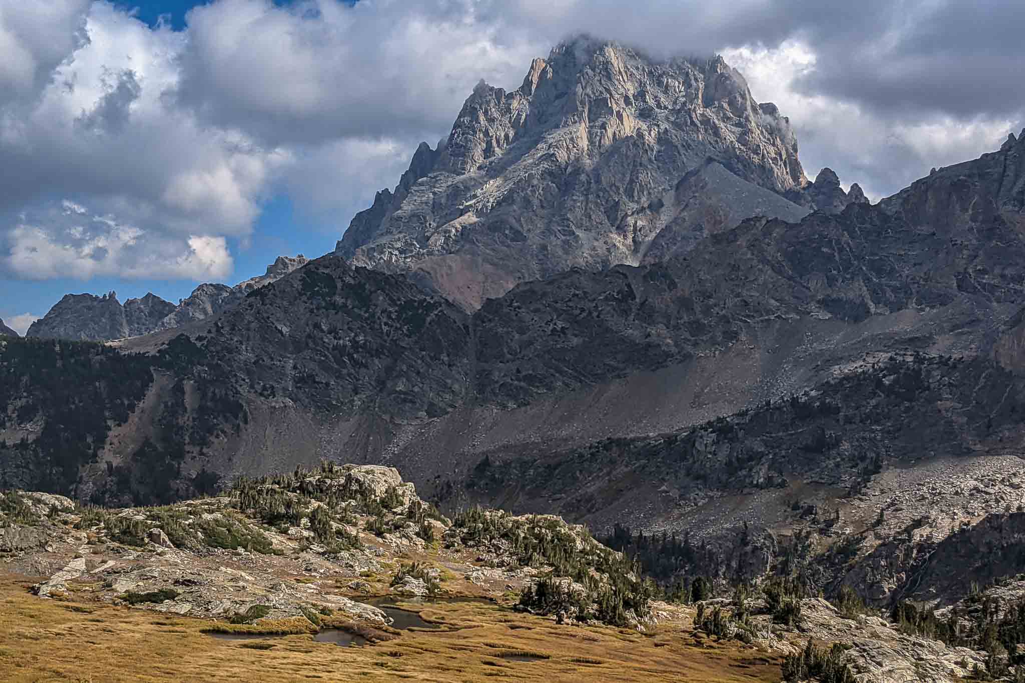
- Both routes spend most of their time above 10,000 ft / 3,048 m. Both routes are incredibly exposed and are mostly above the tree line.
- Neither trail requires a resupply; most hikers can carry enough food to complete the entirety of either route.
- The Skurka Route and Dixon Route spend most of their time traveling cross-country, but both also use existing trails.
- The northern and southern terminuses for each route are accessible via car.
- Although each route is challenging, neither requires technical gear. That said, microspikes and an ice axe may be worth bringing, depending on when you hike.
- Each route crosses nine passes in the Wind River Range; seven of these passes are the same.

What’s Different
- The Skurka Route is typically hiked northbound, beginning at Bruce’s Bridge just outside Lander, Wyoming. The Dixon Route is typically hiked southbound, beginning at Green River Lakes Trailhead.
- Both of the terminuses for the Skurka Route, Bruce’s Bridge in the south, and Trail Lake Trailhead in the north are accessed via the east side of the Winds. Both of the terminuses for the Dixon Route, Green River Lakes Trailhead in the north and Big Sandy Trailhead in the south, are accessed via the west side of the Winds.
- The high point of the Skurka Route, Downs Mountain (13,355 ft / 4,070 m), is 1,105 ft / 337 m higher than the high point of the Dixon Route, Knapsack Col (12,250 ft / 3,733 m).
- Alan Dixon makes all the beta for his route available for free online. Andrew Skurka charges for access to his beta. That said, most of the beta for each route can be found online free of charge.
The Elevation Profiles
Both versions of the Wind River High Route have significant elevation gain, and both spend most of their time above 10,000 ft / 3,048 m. The Surka Route stays slightly higher overall and has approximately 45% more total elevation gain than the Dixon Route.
The high point of the Skurka Route, Downs Mountain (13,355 ft / 4,070 m), is also 1,105 ft / 337 m higher than the high point of the Dixon Route, Knapsack Col (12,250 ft / 3,733 m).

 Dixon Route Elevation Profile” class=”wp-image-2049344″/>
Where They Overlap
The southernmost intersection of the two routes is at the northern end of Big Sandy Lake. Both routes follow the Big Sandy Trail north from over Jackass Pass and to Lonesome Lake (no camping within 0.25 mi / 400 m of the lake). At the northern end of Lonesome Lake, the Dixon Route heads over Texas Pass, whereas the Skurka Route heads over New York Pass (just west of Texas Pass).
At the west end of Billys Lake, the routes meet again, and each follows established trails to the north end of Skull Lake, where the Skurka Route breaks off into the valley to the west.
East of Raid Peak Pass, the routes meet again. After crossing Raid Peak Pass, they both cross Sentry Peak Pass and continue north to Middle Fork Lake. Here’ the Skurka Route continues over Photo Pass, Europe Col, and Europe Peak. The Dixon Route keeps west and follows Long Lake.
The routes meet again at Hay Pass. They then follow trails north to Upper Golden Lake before climbing up to Camp Pass. Following Camp Pass, the Dixon Route bypasses Douglas Peak Pass via a detour and meets the Skurka Route again just north of Lake 10908.
The two routes follow Alpine Lakes before crossing Alpine Lakes Pass. Here, they diverge for the final time at their northernmost intersection. The Dixon Route heads west across the Knife Point Glacier and over Indian Pass, while the Skurka Route breaks off to the northeast before heading to Blaurock Pass.
To summarize, the passes that each route crosses are: Jackass Pass (on-trail), Raid Peak Pass (off-trail), Sentry Peak Pass (off-trail), Camp Pass (off-trail), and Alpine Lakes Pass (off-trail).

Map
The following map shows the approximate routes for both the Skurka Route and the Dixon Route.
Gear Required
Regardless of the route you choose, you’ll need a three-season backpacking setup and a couple of extra items that you may not always carry with you. That said, conditions on the Wind River High Route can vary dramatically; no one experience will inform all others. But best to play it safe, I say.
- Bear spray: Counter Assault Bear Deterrent Spray – The Winds are grizzly bear country, and it’s recommended that you carry bear spray when hiking there.
- Traction: Katoola MICROspikes – Depending on when you hike the Wind River High Route, you’re likely to encounter snow or ice when crossing the higher passes and/or the glaciers.
- Ice axe: C.A.M.P. Corsa Ice Axe – As is the case with the traction, you may want an ice axe handy for some of the snow/ice travel.
- Rain/wind pants: Vertice Rain Pants – Rain/wind pants are great for keeping you warm when the wind hits up high or for protecting your legs from mosquitoes (which can be brutal in the Winds).
- Rain gloves: Black Diamond Waterproof Overmittens – I wish I had waterproof overmittens on the WRHR. We got rained on nearly every day, and my gloves soaked through quickly. If you want something lighter, check out the Zpacks Vertice Rain Mitts or Ourdoor Research Helium Rain Mitts.
- Gaia GPS – If you are hiking the Wind River High Route, you’ll want reliable mapping software on your phone (yes, even if you’re planning to carry paper maps and a compass). Gaia is quick, easy to use, and reliable in the backcountry.
Wrap Up
Each of these routes provides an amazing backcountry experience in Wyoming’s Wind River Range.
There’s no need to tie yourself to one or the other. Feel free to mix and match and do whatever gives you the experience you want on the Wind River High Route. Regardless of your choice, the Winds are a fantastic place to explore, and there’s no way to see it all in a single trip.
Hiked the Skurka Route or the Dixon Route? Have questions about the Wind River High Route? Discover something I missed here? Leave a comment below and let me know!
Affiliate Disclosure: This page may contain affiliate links, which means I may receive small commissions for purchases made via these links at no additional cost to you. This helps pay the bills and keep the site up and running. Thank you for your support!


The Dixon route spends more time by lakes and generally more mellow. I guess it depends on what you are looking for. Aesthetically, I would prefer the Dixon route for that reason.
Good perspective! Personally, I prefer up higher. Definitely something for everyone out there.