
Thru-hiking The Japanese Alps
A lot of my hiking endeavors began with me thinking to myself, “Hmm, that thing would be cool to do,” and last November, I thought to myself, “Hmm, traversing the entire Japanese Alps would be cool.”
I got super into planning a traverse of Japan’s Alps for precisely two days before I gave up, frustrated by a lack of (English-language) information and the fact that said planning was delivering zero gratification of the instant variety.
But just because I stopped planning doesn’t mean I stopped thinking about it.
For those who don’t know, I spent nearly two years living in Japan, teaching English to adorable middle schoolers during the week and exploring the country’s mountains on the weekends (more on teaching English in Japan here). Many people are familiar with Japan as a winter sports destination, but what many fail to realize is that those mountains don’t go anywhere during the summer.
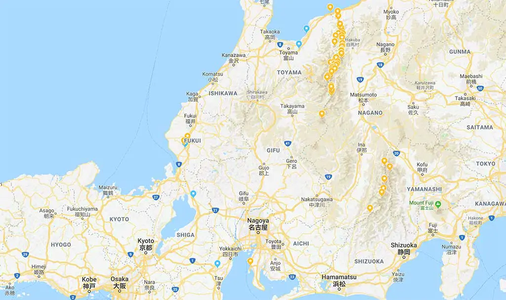
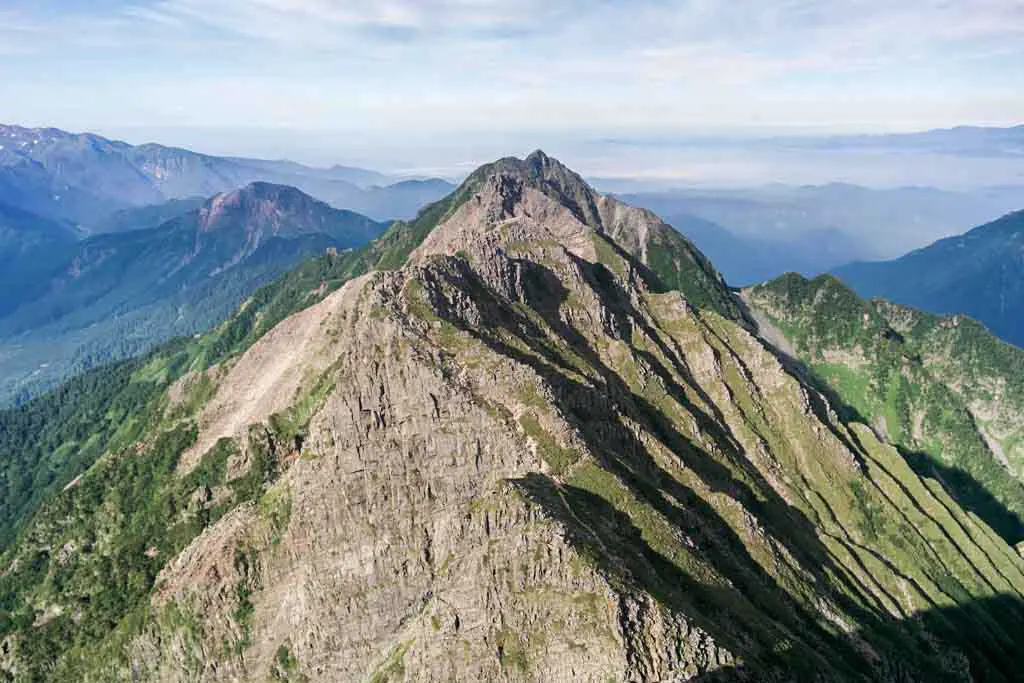
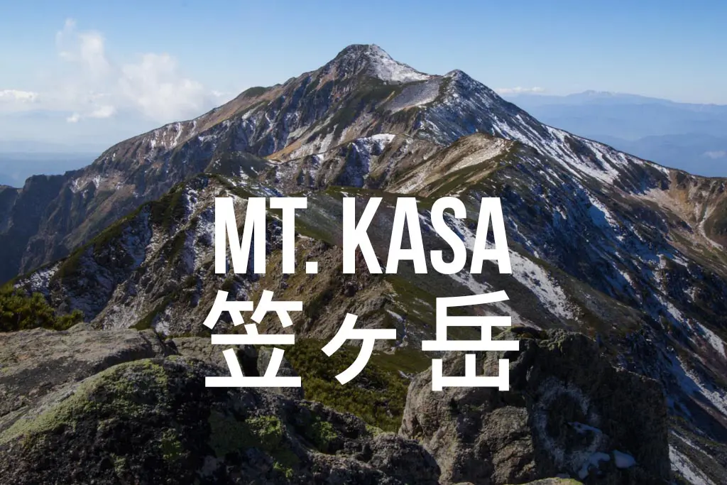
Japan’s largest island, Honshu (home to Tokyo, Osaka, Kyoto, and Hiroshima), is where we find the country’s most prominent mountains (including my least favorite, Mount Fuji) and the three ranges that collectively make up the Japanese Alps, the Hida Mountains (Northern Alps), the Kiso Mountains (Central Alps) and the Akaishi Mountains (Southern Alps).
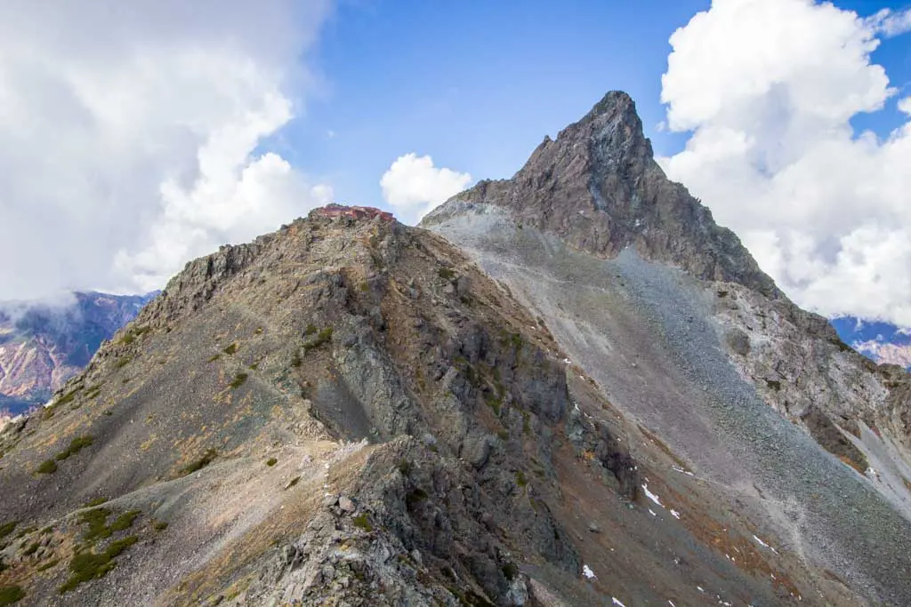
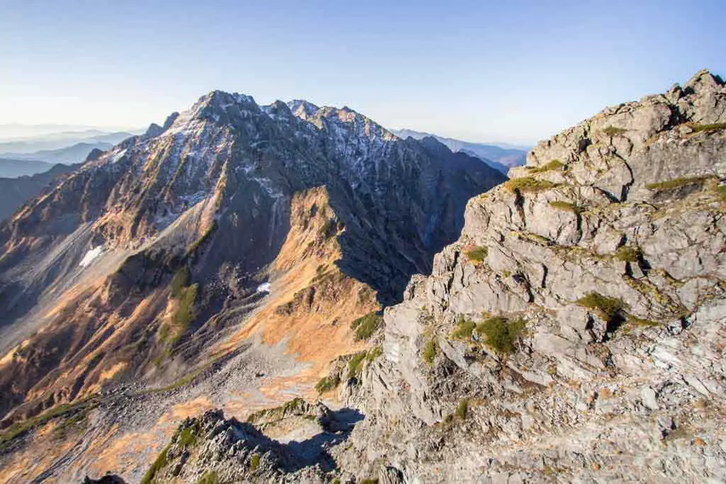
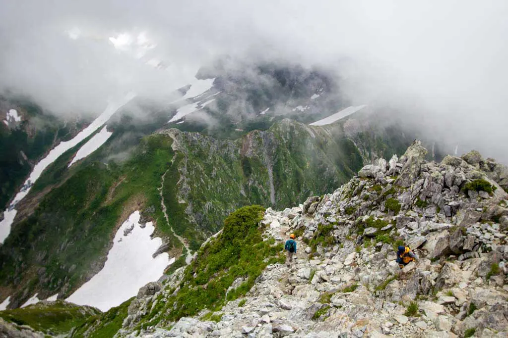
I’ve already spent a lot of time in the Northern Alps and can confirm their remarkableness.
The mission? Hike from the Sea of Japan in Niigata Prefecture to the Suruga Bay in Shizuoka Prefecture via the spine of the Japanese Alps (and to maybe then climb Mount Fuji from sea level – because we like things with bows and that would be a nice bow; speaking of bows, there are a lot of bows in Japan; GET IT?!).
My current vision of the traverse is hiking the Northern Alps (Kita Alps) southbound, the Central Alps (Chuo Alps) northbound, and then the Southern Alps (Minami Alps) southbound. Simple enough, right?
However, since I have given up doing research on this hike, I still have a couple of lingering questions in my mind. What are they, you ask?
- How much food am I going to have to carry? Will I be able to supplement my food carry with food from lodges in the mountains? How many of these lodges have food/meals? How expensive is all that food going to be?
- How many times am I going to have to hike down out of the mountains to get food? Will I be able to plan things so I can hit ropeways and roads to avoid extra time spent hiking to get food? Is hitchhiking going to be a viable option from wherever it is I pop out of the mountains?
- What’s the total distance of this hike? Approximately? I really have no idea.
- How long is this going to take me? I hope I finish before the third week of August when I need to attend a wedding (if you’re reading this, buddy, don’t worry, I’m coming).
- What condition are these trails in? Are there even trails for the entire thing? How much road walking am I going to have to do to connect up the different ranges?
- How many onsens will I be able to visit along the way?
And I guess that’s it?
The plan is to start the traverse during the first week of July; I am hoping that it takes fewer than six weeks to complete.
I am also hoping that by then all of the snow in the mountains will have melted to a level at which it will no longer necessary to bring additional equipment or have some level of expertise (of which I will have neither).
Should any of you have any information that may prove useful in the undertaking of this mission, do not hesitate to share it.
頑張ってください!!!


Here is my map: https://www.plotaroute.com/route/604728
It was planned for 1 week running for fit ultrarunners. for hiking i figure 2-2.5 weeks. I didnt look at your map, but 6 weeks seems very very excessive, but then again I know many people take 2 weeks to hike the 160km GR20 in corsica, so maybe my estimates for hiking are low. Contact me to discuss.
Looks like an awesome route! A little different from what I did but you’ve definitely got some highlights in there.
Hi Mac – I’m looking to plan something similar.
Wondering if you can share any key resources? Or your plan, highlights, etc. Much of the paths look like they join up.
I would check out these two posts if you haven’t already:
https://www.halfwayanywhere.com/trails/japan-alps-traverse/japan-alps-spreadsheet-peaks-huts-distances/
https://www.halfwayanywhere.com/trails/japan-alps-traverse/japanese-alps-map-itinerary-gps-track/
Hi. I hiked in that area in 2014, from South to North. The link is my blog and I hope this will help you. I’m still translating it into English so maybe it’s not very helpful. But I hope your hike will be a great one.
If you like google translate, here are some sites to try:
https://www.yamakei-online.com
https://www.momonayama.net
https://yamahack.com
They have tons of information.
Thanks for the tip!
6 weeks = how many miles or kilometers?
I honestly have very little idea at this point. Maybe like 620 mi / 1,000 km?
I’ll be moving to Tokyo (semi-permanently) in August. I wish I had more info to give you, but for now I’ll just beg you to give me what you find out! I’d love to try this myself sometime.
The posts are on their way.