Japan | Japan | Japan Hikes
Guide to Hiking Mount Rishiri (利尻山) in Japan
Mount Rishiri (利尻山, Rishiri-zan) is a 5,646 ft / 1,721 m stratovolcano on Rishiri Island (利尻島) off the northwest coast of Hokkaido (北海道). The entirety of Rishiri…
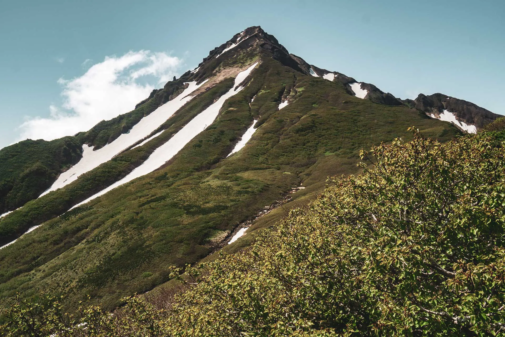
Mount Rishiri (利尻山, Rishiri-zan) is a 5,646 ft / 1,721 m stratovolcano on Rishiri Island (利尻島) off the northwest coast of Hokkaido (北海道). The entirety of Rishiri…
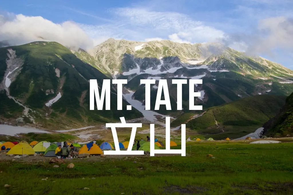
Mt. Tate (Tateyama) is one of Japan’s three holy mountains and perhaps the easiest to summit. Here’s how to get there and what to expect on the trail.
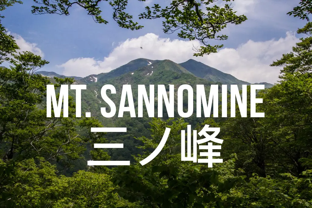
Mount Sannomine (三ノ峰, Sannomine) sits on the border of Fukui (福井), Gifu (岐阜), and Ishikawa (石川) in Japan’s Ryōhaku Mountains (両白山地). The trailhead is not…
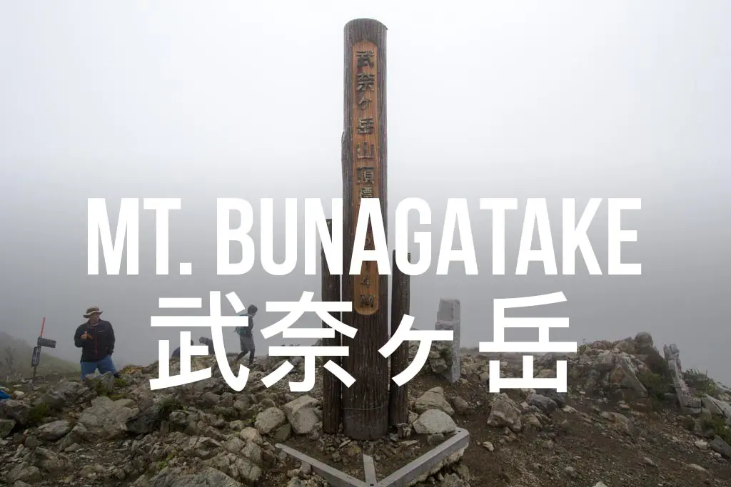
Mount Bunagatake (武奈ヶ岳, Bunagatake) is a day hike in Shiga Prefecture (滋賀県) and is the highest peak in the Hira Mountains (比良山地). This peak is…
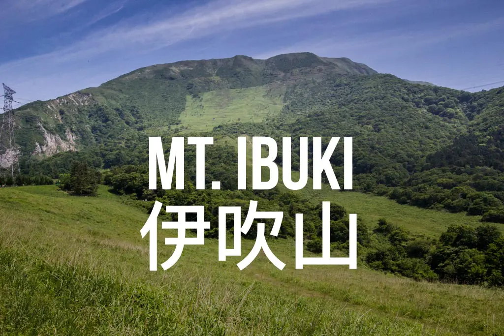
Mount Ibuki (伊吹山), or Ibuki Yama, is one of Japan’s 100 Famous Mountains in Shiga. The day hike offers excellent views of the surrounding area and Lake Biwa.
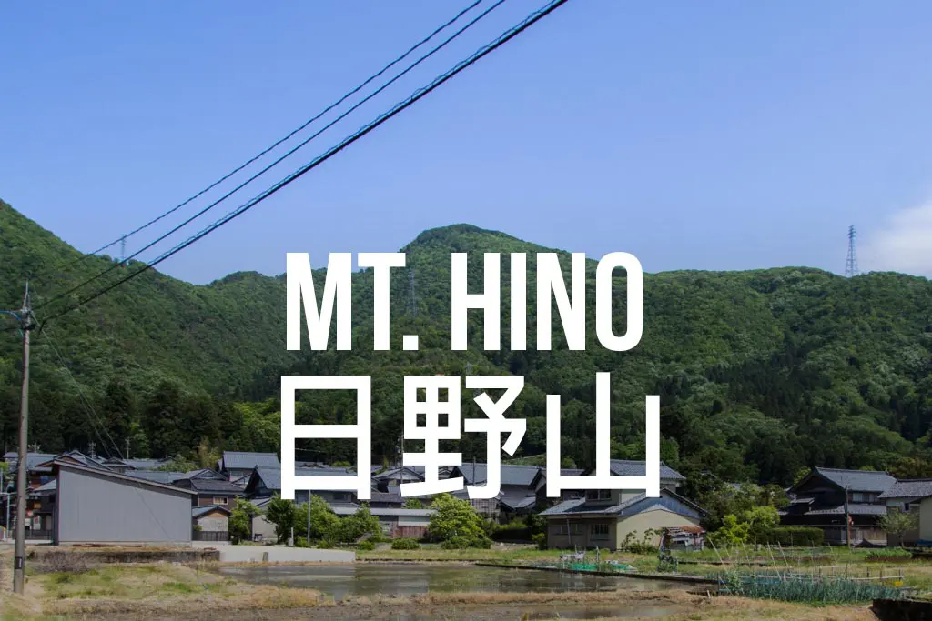
Mount Hino (日野山, Hinosan), laughably nicknamed “Mt. Fuji of Echizen”, is a day hike located in Echizen City, Fukui (福井県越前市). The summit is 2,608 ft…
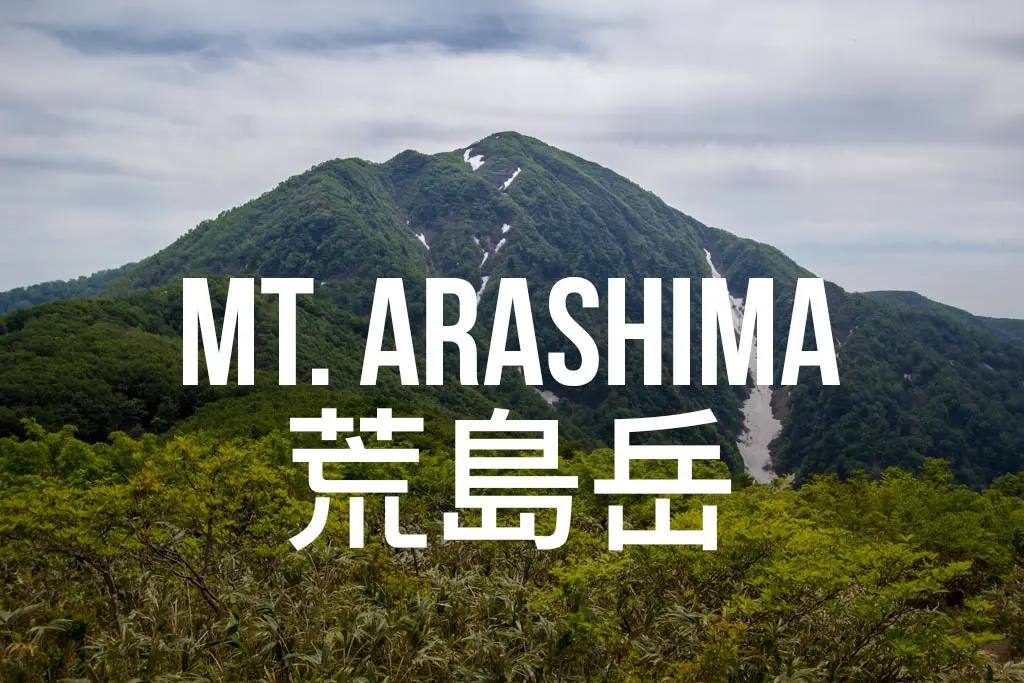
Mount Arashima (荒島岳, Arashimadake) is located in Ono City, Japan. The 4,996 ft / 1,523 m peak is the highest in Fukui Prefecture.
Bored with simply hiking everyday trails after the Pacific Crest Trail, I felt that my outdoor expeditions required another level of danger (because bears, dehydration,…