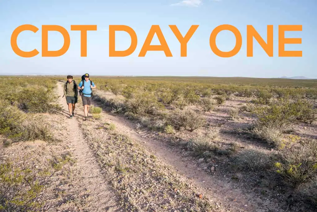
Continental Divide Trail Day 1: The Middle of Nowhere
It turns out that the adventure of a 3,100 mi / 5,000 km thru-hike of the Continental Divide Trail begins before you take your first steps away from the US/Mexico border toward Canada. It starts on the drive down to the southern terminus.
Driving from Phoenix (that’s in Arizona for all my US-geography-challenged friends), I guessed we would be making it down to the US/Mexico border at Crazy Cook (the CDT Southern Terminus) in the early afternoon. Unfortunately, I greatly underestimated the infrastructure beyond the highway. When we finally make it down to the border, it is five-thirty; sunset is scheduled for just before eight.
After the mandatory pre-hike photo shoot and many thanks to Papa Mac and our trusty Kia Sorento rental car, we start walking; it’s just after six. (Fun fact: Papa Mac was stopped three times by border patrol on his way back to the highway.)
A quick note for any of you would-be CDT hikers: The monument faces east-west, and the late afternoon is probably the worst time to photograph yourself with the monument since the sun will be directly behind you. Just throwing that out there in case you’re into that.

And so it begins, Appa, Moist, and I are officially hiking the Continental Divide Trail.
A big concern of mine before starting the trail was navigation. Internet research on the CDT had convinced me it is a big scary unmarked route through the country that only bloodhounds or Eagle Scout orienteers could even begin to consider navigating. Fortunately, a faint trail leads west away from the southern terminus. Must be this way.
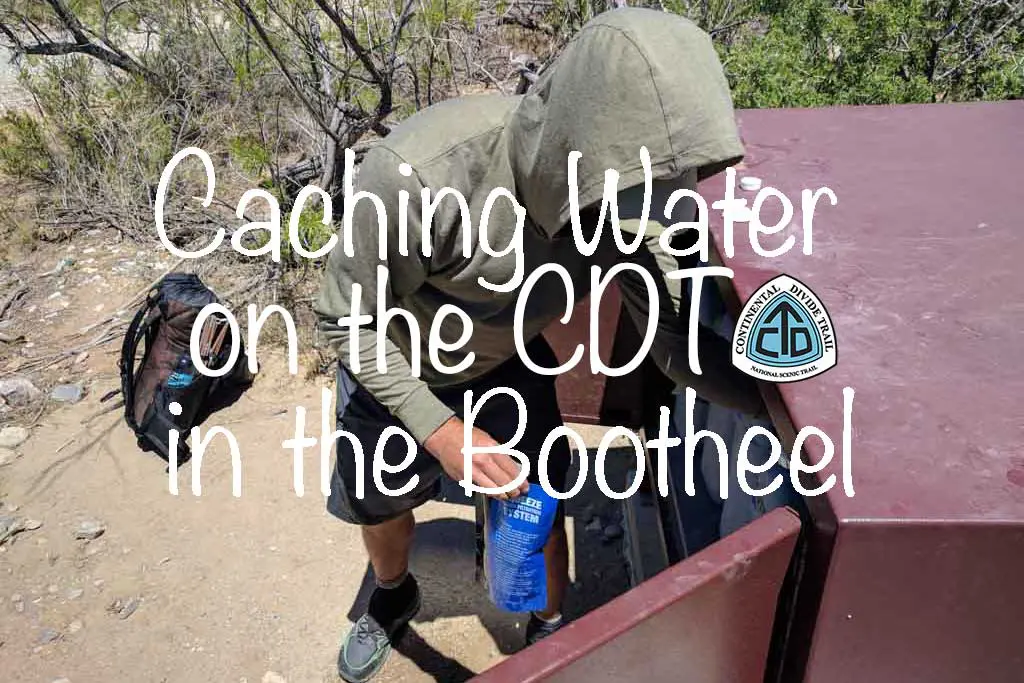
Another quick note on why I’m walking west. The CDT southern terminus is located on a north-south section of the New Mexico/Mexico border called the Bootheel – a linear border that runs 30 mi / 48 km north-south before turning ninety degrees west and heading along Mexico until it hits Arizona. The CDT heads west away from the border and along the northern slopes of the Big Hatchet Mountains before turning north towards Canada.
This will be on the test.

Continuing along a network of faint and crisscrossing paths, I see the first of what turns out to be many posts with CDT markers affixed to them. Apparently, all the “completely unmarked” business was lies (damn you, internet).
The posts aren’t too frequent and the game of “follow the posts” slowly morphs into “follow the path of least resistance in the general direction that the posts appear to be going” as we miss the occasional post and slowly drift further from what is the “official CDT”.
Finding and following the signs isn’t difficult since the terrain here is perfectly flat. The exception is the Big Hatchet Mountains rising ahead of us. That being said, it doesn’t help that the setting sun is shining directly at our eyes.

After an hour of hiking, we stopped for a break. We have yet to acquire our godly thru-hiker fitness levels.
A small dilapidated shelter near a windmill provides us with shade as we sit and let the reality of our situation sink in (stranded and alone in the desert). Then, quite surprisingly, a truck drives past us. There are some empty cattle troughs and disused-looking corals nearby. Maybe we’re on private land? Hopefully, these folks are thru-hiker-friendly.
They don’t seem to take much notice of us, and after some calorie intake, we continue our quest toward the setting sun.

Despite the easy terrain and having not walked very far, I can already feel two blisters forming – one on each foot. This is exactly what happened to me on the Pacific Crest Trail and if history is keen on repeating itself, I have many weeks of very painful blisters in my future. Huzaa!
Further inspection at camp will reveal that these blisters are somehow enormous.
It starts getting dark and we discover the amount of wind is inversely proportional to our remaining daylight – the darker it gets, the windier it becomes. By the time the sun has dipped below the horizon, it’s windy enough to make hearing each other difficult. We walk a bit farther into the start of a small depression between two hills in the hopes that they will provide some shelter.
No luck.
We settle for a flat area we find among the shrubs since neither Appa nor Moist is a huge fan of night hiking (I usually am, but only with company). Fortunately, we find that the wind isn’t too bad once we’re lying on the ground. There’s no weather in the forecast, so my first night on the CDT I will be cowboy camping (that is, no tent).
I’m using a sheet of polycro as a groundsheet for the first time and am skeptical about its performance, but I decide that I like it. Moist laughs at me and tells me it’s going to get shredded. He’s probably right and I don’t not believe him, but I also hope he’s wrong.

To celebrate my first successful day on the Continental Divide Trail I treat myself to a Mountain House. Probably should have saved it for a night I deserve it.

My first day on the Continental Divide Trail was a near-o (nearly zero) – 6.7 mi / 10.8 km.
Only 3,093.3 mi / 4,977.7 km to go.
CDT Journals
- Day 1: The Middle of Nowhere
- Week 1: The Bootheel
- Week 2: The Gila
- Week 3: We Got A Dog
- Week 4: One Month In
- Week 5: Don’t Die
- Week 6: The San Juans
- Week 7: Big Decisions
- Week 8: Three Is Company
- Week 9: Moist Is Dead?
- Week 10: Shortcuts to Town
- Week 11: Farewell Moisture
- Week 12: Wyoming!
- Week 13: The Winds
- Week 14: Yellowstone
- Week 15: The Final State(s)
- Week 16: MURKAH
- Week 17: You Think You Know Montana?
- Week 18: The Gang’s All Here
- Week 19: Fires!
- Week 20: Canada
Affiliate Disclosure: This page may contain affiliate links, which means I may receive small commissions for purchases made via these links at no additional cost to you. This helps pay the bills and keep the site up and running. Thank you for your support!