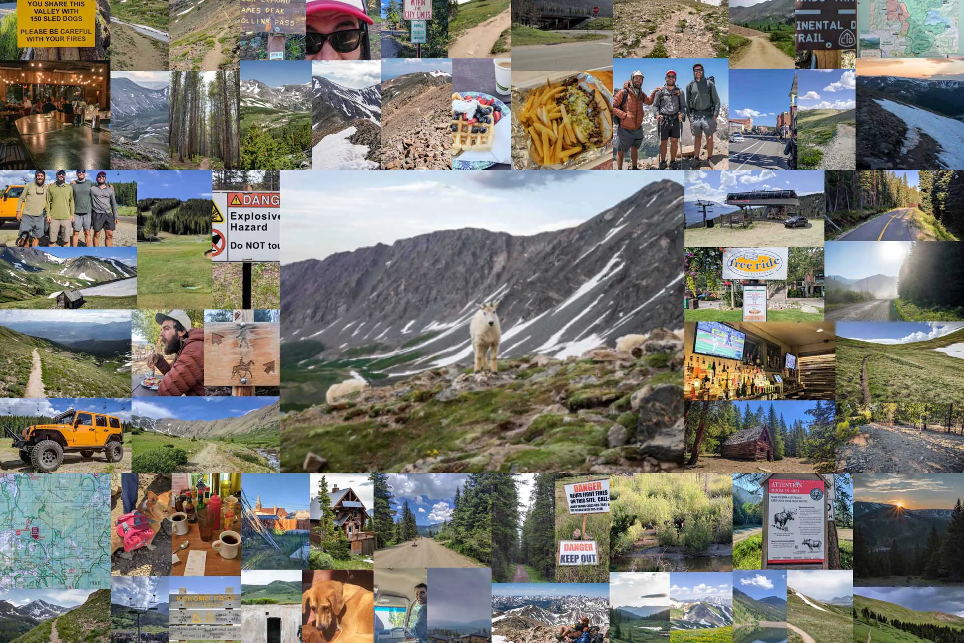
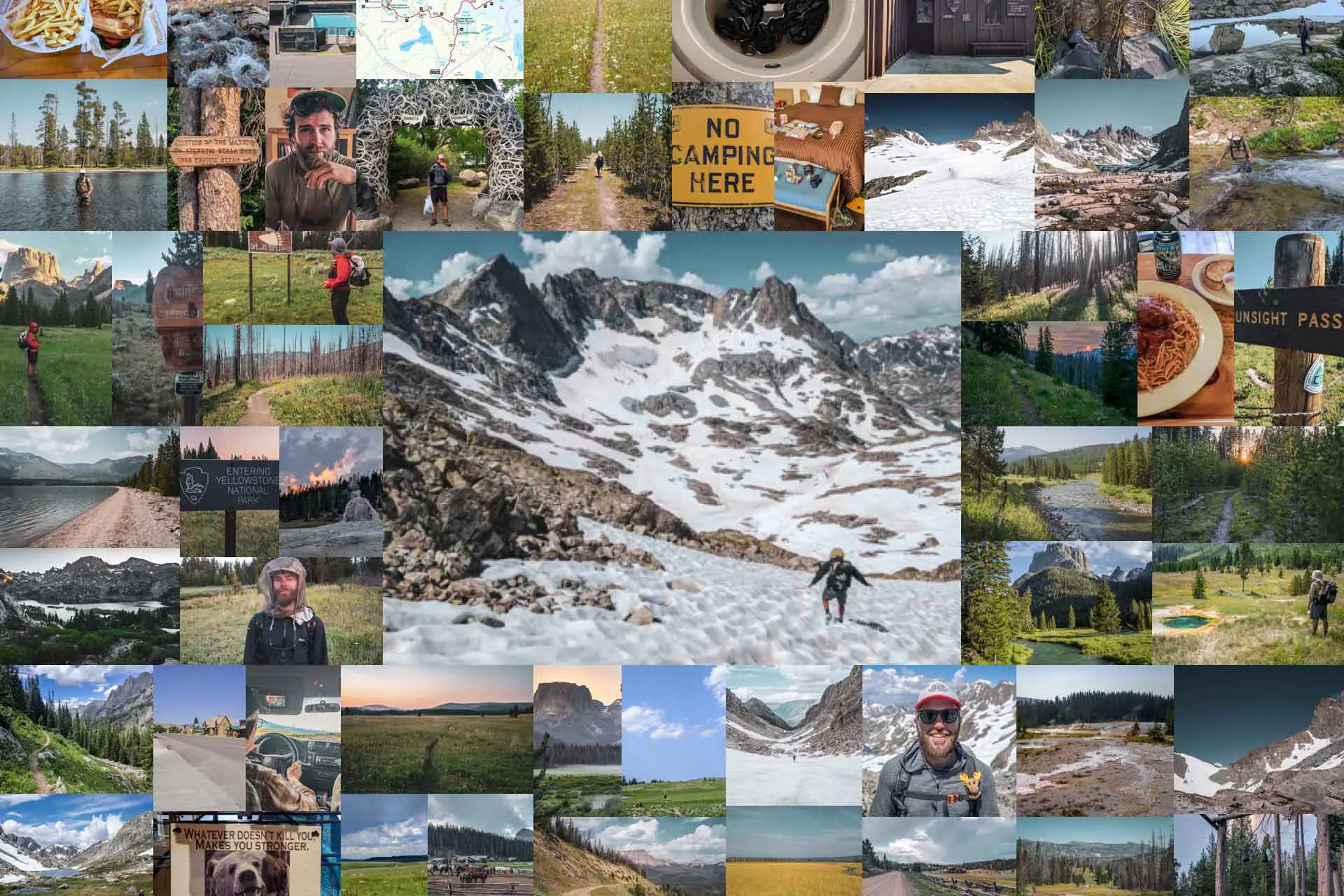
Continental Divide Trail Week 10: Shortcuts to Town
Week 10 on the Continental Divide Trail takes us out of Twin Lakes, up the highest peak in Colorado (a slight detour), and then into the town of Leadville, Colorado. We then depart and make it to the next trail town, Breckenridge, just in time for the Fourth of July. Unfortunately, this also means we’re now attempting to outrun a fire started by someone who shouldn’t have been using fireworks.
Day 64: Mount Elbert (Arrive Leadville, CO)
When we wake up, the wedding party has yet to arrive. I don’t know if this is a good or a bad thing. What is a bad thing? All of the frozen condensation on my sleeping bag. I can’t wait for all of this to melt while my sleeping bag is stuffed away in my backpack today.
We pack up and eat breakfast at the picnic tables outside the Twin Lakes store before they open at 8:00 – at which time Appa and Moist buy some disgusting-looking half-price sausage roll things for second breakfast. I pass on the sausages and we head west out of town up a dirt road.
The official CDT stays east of Twin Lakes but we’re walking this forest road because we don’t care about walking the official CDT. We don’t even care about connecting our footsteps (that is, not skipping any section of trail), about being “true to the thru”, or about being huge bags. We’re out here to hike and to enjoy ourselves as best we can. Today, said enjoyment will involve another detour from the official Continental Divide Trail and up to the summit of Mount Elbert, the tallest peak in Colorado at 14,439 ft / 4,401 m.


Soon after hitting the trail, Appa and Moist stop for a break. I keep hiking and start to see day hikers filtering in from the surrounding trailheads on their way up Mount Elbert.
I’m briefly back on the CDT before turning off and heading up a very steep trail toward the summit. When I make it above the treeline, the trail mellows out, but I can see there’s still a long way to go. The official CDT, a shorter route with less elevation gain, skirts around the eastern side of Mount Elbert. It is not our usual M.O. to take the longer and more difficult route, but we figure the highest peak in Colorado is worth the extra effort.
As I steadily make my way up the trail, Moist suddenly appears behind me before turning on the boosters and putting some serious distance between us. BYE MOIST…
Around thirty minutes later, Appa catches me and we hike together in pursuit of Moisture. Somehow, we end up off the trail and find ourselves scrambling up scree instead of gently winding up switchbacks; I think Moisture is beating us to the top. When we make it back to the trail, we figure the top has to be close. However, two hikers coming down tell us it’s still another mile. I laugh because there’s no way that’s true.
Turns out I’m an idiot because it’s true.


Moist is waiting for us at the summit with company – probably around thirty or forty hikers (and dogs). From the summit, we can see both last night’s campsite and today’s destination (Leadville). I take advantage of the nice weather to dry out my tent and sleeping bag on the edge of the summit (which ignites much confusion in all of our day-hiker friends).
With our gear dry, we head down the north side of the mountain as we wade through the upward-flowing stream of people (and one adorable corgi) still hoping to make the summit. We make quick work of the way down and before long we’re at one of the many Mount Elbert trailheads. Time to hitchhike to town. Now, if you’re familiar with the CDT and you’re paying very close attention (which I highly doubt), then you know this is not the normal place hikers hitch into Leadville. No, that place is 25 mi / 40 km up the trail. And yes, that is the place we’ll be hitching back to when we leave Leadville.
My god, we’re going to miss that section of trail. Cool.
It takes us two rides to get into town. The first was the three of us sitting around the bed of a pickup with two shirtless bros drinking wine out of a bag and their two dogs (one of whom threw up multiple times in the truck bed and nearly contaminated Moist’s shoes – one of the dogs, that is). The second ride is two local ladies in a Subaru Forester packed with gear. The three of us smash ourselves into the back and have a very uncomfortable ride into town (but the conversation is good so it evens out).


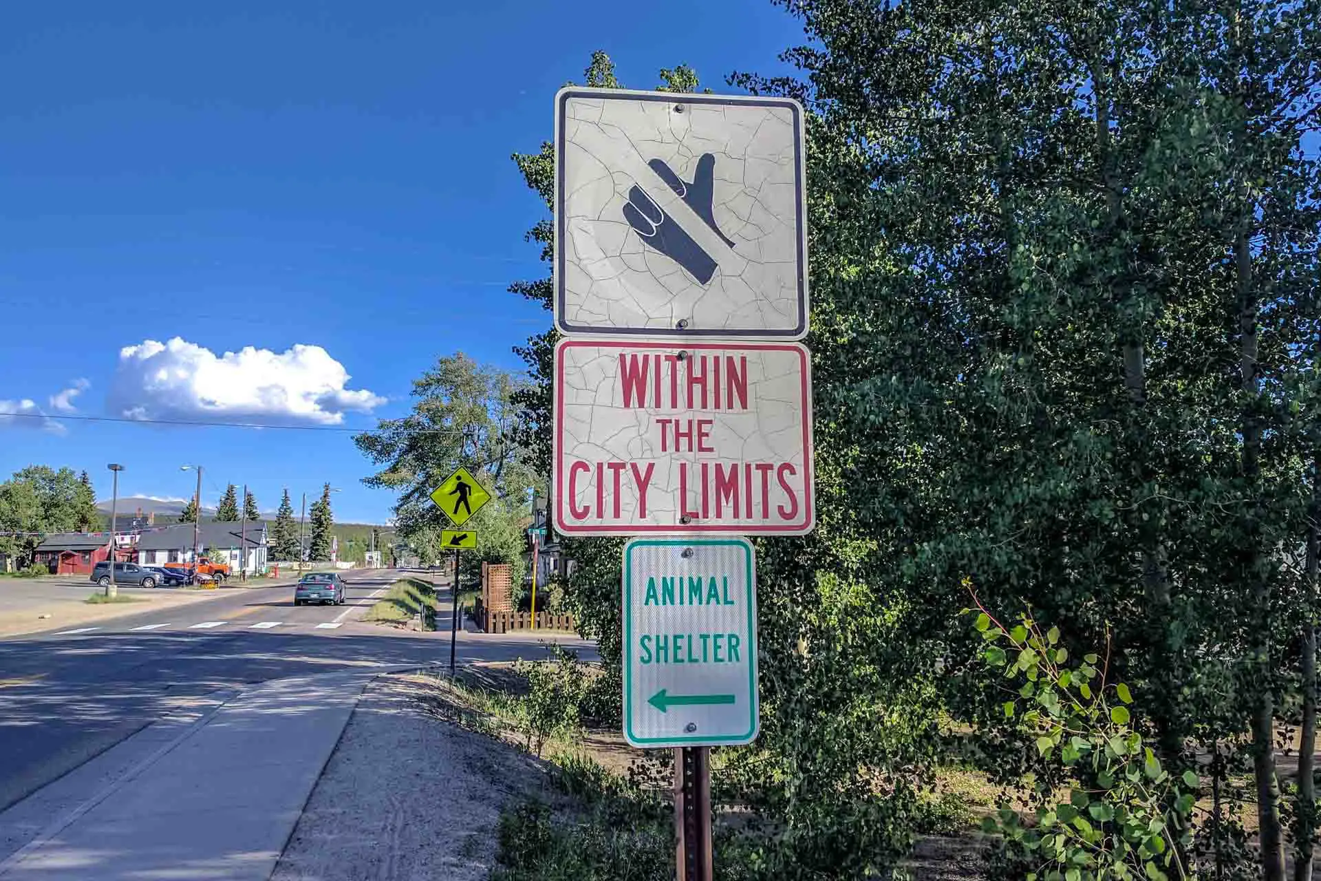
We get dropped at the laundromat where Appa and I split an $8 shower (we go one after another – we’re not that close…yet). While our clothes are in the wash, we take advantage of the grocery store (and its bathrooms) across the street. It’s a bit of a walk into the center of town once we’re finished and there are road signs prohibiting hitchhiking so we walk like chumps. Pizza is first on the agenda followed by a local watering hole that we promptly leave after being put off by the drunk locals.
As it gets dark, we’re still not sure where we’re going to sleep so we head to the liquor store for a nightcap. While selecting our beverages, a guy named Pat offers to let us camp in his backyard (this is unprompted, these things just happen when you look like a dirty homeless hiker in Colorado). We thank him, take his address, and tell him that we might take him up on his offer. Now wandering, I decide I want to camp at Pat’s. Appa protests, but he comes along with Moist and me back to the other side of town.
It’s not clear which house we’re supposed to go into (we were told to just go in through the back at set up). I walk to the front and Pat sees me out the window of his neighbor’s house. He comes out to show me his home and unlock the back door so we have access to the bathroom (what a legend). When I head back around to the alley behind the house, Appa has left, deciding to camp elsewhere. Moist is happy to have stuck around.
Like some people like to say sometimes, “the trail provides (sometimes)”.

Day 65: Janet’s Cabin (Leave Leadville, CO)
Moist and I wake up early and leave kind Mr. Pat’s backyard before he makes an appearance. We head back to the laundromat-adjacent supermarket where we meet up with Appa who slept in the bushes near where we had met Pat last night. He’s happy, so I’m happy. After a nice town breakfast, we head to the edge of town to hitchhike back to the trail.
Appa has decided to take advantage of the town’s porcelain before heading out so Moist and I hitch out ahead of him. We get a ride with a guy who talks big game about knowing all about the Continental Divide Trail, but who then drops us on what is effectively the side of the highway. Thankfully, we are able to scramble up an embankment to a forest road that eventually meets back up with the CDT.
Best of all? It looks like it’s going to rain (for the first time in nearly a week). Huzzah!


We’re on a long and gradual downhill until we reach a flat area with some concrete bunker-looking type buildings built into the sides of small mounds of earth. There are signs all around warning us not to touch anything or risk being blown up. Other signs warn us not to attempt to extinguish fires in this area. What exactly is this place and why does the trail go through it? I honestly don’t know. What I do know is that if one of us gets blown up touching something we’re not supposed to, the other one of us is going to die in a fire we’re not allowed to extinguish.
Turning east and making our way away from the would-be explosion zone, the dark clouds that have been gathering all morning erupt into thunder and hail. Just what we were hoping for before starting our 3,000 ft / 915 m climb up to Kokomo Pass (12,022 ft / 3,664 m) and Elk Ridge.
But we’ve got nearly 7 mi / 11.3 km before we get there, so hopefully the weather will have passed before we get up high (either that or it will kill us).


Appa soon appears out of nowhere having gotten a hitch to a spot different from where Moist and I got dropped off (further west) and we continue up to the pass together.
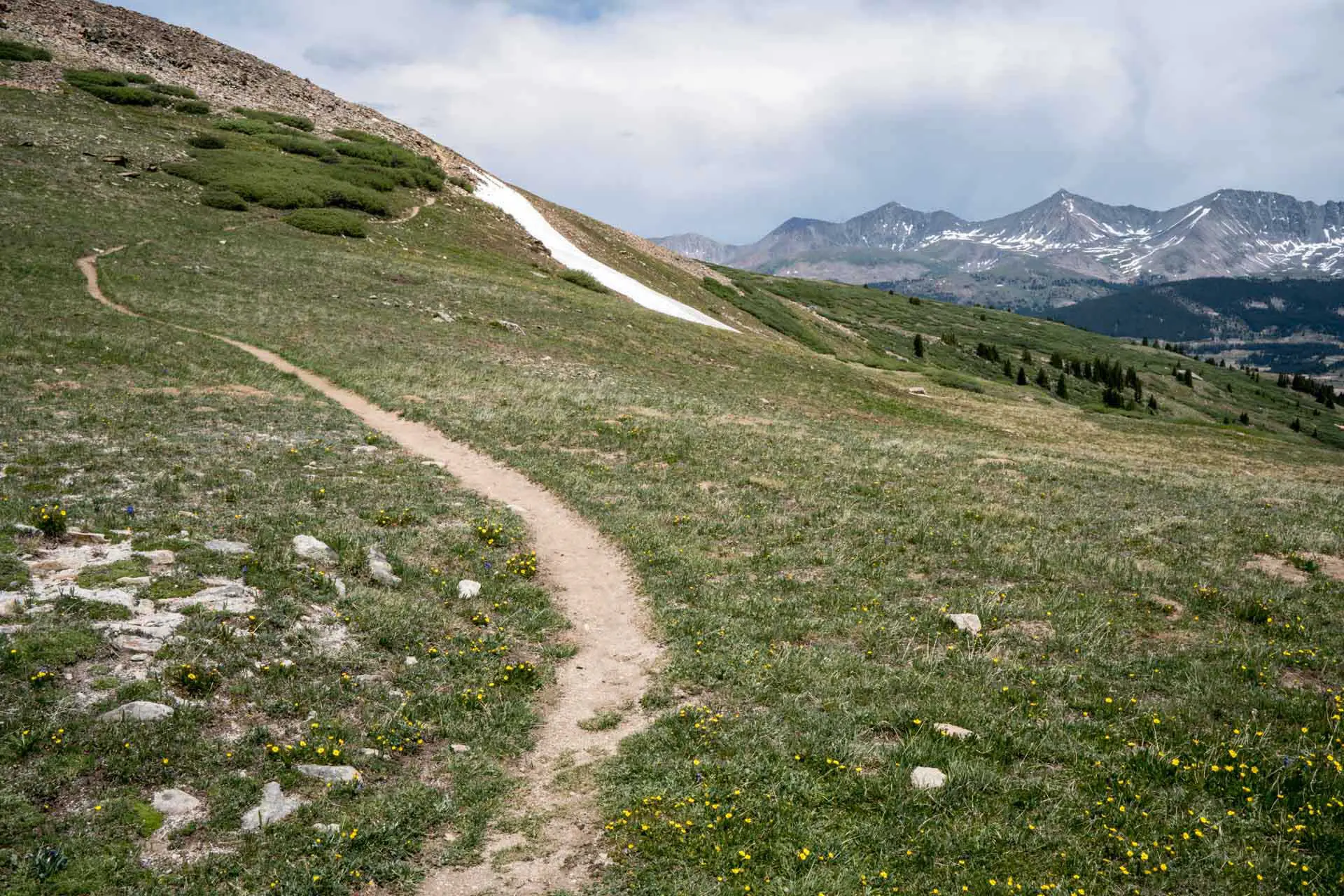
Thankfully, the weather has cleared (at least the thunder and hail has stopped) by the time we make it up to the ridge. From the ridge, it’s nearly all downhill to Copper Mountain Ski Resort before one more big climb over the hill to Breckenridge. That is if we go to Breckenridge. At Copper Mountain, hikers can opt to take the Silverthorne Alternate. This alternate bypasses 35.6 mi / 57.29 km of the official CDT and passes through Silverthorne, skipping Breckenridge.
The Silverthorne Alternate is shorter, and usually, we would take a shorter alternate. However, the Silverthorne Alternate doesn’t appeal to us because it skips Breckenridge (a good-sized Colorado resort town with the promise of good meals and good resupply) and it bypasses Grays Peak – the highest point on the CDT (14,255 ft / 4,345 m).


After a bit of ridge walking, we come across the equivalent of striking gold on the CDT – a well-maintained shelter called Janet’s Cabin. It’s a backcountry cabin that can fit up to 20 people, open from July to September and November to May – apparently, it opens next week. It regularly costs $43 per person per night. Unfortunately, Janet’s Cabin is locked. Who would have thought?
Did we try all the doors and windows and end up sleeping inside the cabin? That’s not important. What is important is that I’ve been contacted by a man calling himself Drew who is promising trail magic in Breckenridge tomorrow morning.
Appa and Moist aren’t too keen on the early wake-up that’s required to make the over 20 mi / 32 km to town by mid-morning, but I’ve looked at the map and I think I’ve found a few shortcuts that would make it possible to arrive before noon without having to wake up too early.

Day 66: Drew (Arrive Breckenridge, CO)
As planned last night, I wake up early and am on the trail before sunrise. Appa and Moist are still sleeping like little angels when I’m packed and ready to start walking. See you in town, my loves. Will this be the last time I ever see them? We joked last night that this Drew person offering to meet up with me in Breckenridge is actually keen on murdering me. Maybe he is. That would be a drag. I hope I at least get a last meal in town first.
I walk down toward Copper Mountain where there’s a small cluster of restaurants, cafés, and shops beckoning to me from the base of the snowless ski resort the trail’s winding through. I manage to avoid the temptation and continue toward the final climb before Breckenridge (the cafés probably aren’t even open). And, of course, the final climb is 3,000 ft / 915 m climb. Why couldn’t there just be an awesome bridge between the ridgelines?
Somewhere, I manage to get off the trail and I end up cutting through a golf course and scrambling up and down some steep embankments to make it to where the trail continues on the other side of Highway 91.


The climb starts in the trees and eventually gets above the treeline near the Wheeler Trail Junction. From here, the CDT switchbacks and heads north along the ridge before turning east and crossing Highway 9 about 5 mi / 8 km north of Breckenridge. However, I am currently directly west of Breckenridge and it looks like there’s a trail leading up to a pass just south of me.
If I can gain the ridge, it looks like I can navigate through the ski resort and straight into town. It will certainly be shorter than taking the official CDT, but I also run the risk of there not being a clear path down the other side of the mountain. I take my chances.
I make it up to the pass and can already see Breckenridge almost 3,300 ft / 1000 m below me. A trail leads down the other side from the pass but before long it’s heading in the wrong direction and I decide to cut down to a forest-looking road below that’s heading more toward town. This does not go exactly as planned as much of the mountainside is covered with either deep, thick brush, or icy patches of snow.
After not too much cursing, I make it to a road that brings me to a lift. And you know what they say about lifts – all lifts lead to town. I follow the lift down to the base of the resort where I message Drew and tell him where I am. Moment of truth.


So is Drew in Breckenridge to murder me? (Un?)fortunately, no. It turns out he’s in Breckenridge to be awesome.
A hiker himself, he knows exactly what I need. We first stop at the Breckenridge Brewery for calories and refreshments before driving up to Dillon (a town just north of Breckenridge) where there is an REI (if you don’t know what REI is, it’s basically the store in the US where everyone buys things for the outdoors). At REI, I pick up a new pair of Darn Toughs and a Katadyn BeFree (Moist and Appa both have one and I’m jealous). On the way back to town we hit the liquor store for more refreshment. Today is incredible.
By the time we’re back in town, Appa and Moist have arrived (and being the legend that he is, Drew extends his kindness to them as well). We swing back past the liquor store with them before setting up shop at the base of the ski resort to waste away the afternoon.
Tomorrow, America celebrates Will Smith saving us from aliens so Breckenridge is even more expensive and packed than usual. When it gets dark we slink back into the forest to get some sleep before tomorrow’s festivities.


Day 67: So Many People (Leave Breckenridge, CO)
We always seem to be in town on the worst possible days. Today, July 4, is a terrible day to be in Breckenridge.
Before we break camp (and we get up early), there are already day hikers and morning joggers passing near our campsite. This place seemed a lot more hidden last night. Appa and Moist leave me to pack up alone and by the time I’m back to the town’s main drag, the sidewalks are packed with people waiting to watch the Fourth of July parade. Just walking down the street feels like trying to make it back to your friends after using the bathroom at a sold-out festival. I almost have a panic attack there are so many people. It’s awful.
Fortunately, I get a text from Moist who tells me that there’s a store somewhere on the parade route that’s giving away free waffles and coffee. By the time I get there, Appa is already in line. I guess the Fourth isn’t so bad (but yeah it is, get bent, America).


In addition to free waffles, Breckenridge has a free bus that probably goes lots of places, but the place I know it goes (and the only place I care about) is City Market (i.e. the grocery store). It’s over a mile (1.6 km) from the southern end of town and walking is not something I’m a fan of doing in town (it’s bad enough I’m not lying in a hotel bed now). We take the bus up to the market to get our resupply and then spend the rest of the day moping around town before deciding to hike out (we’re definitely not getting a hotel room and our stealth camp last night did not prove to be great).
We again take advantage of the free bus and take it up to Tiger Road – just south of the CDT. The road heads east, parallel to the CDT before the CDT breaks north. However, the road looks to be shorter than the CDT here and it also looks like we’ll be able to easily jump on the CDT before the split.
It’s dark by the time we hike out of town and as we walk the road past huge Breckenridge mansions, we wonder how far we’ll have to walk before finding a suitable place to camp. Fortunately, we come across a trailhead after just over an hour of walking and find a nice campsite with a stream nearby. In the distance, we hear the sounds of exploding fireworks. It turns out that hiking out tonight was the right decision because a fire erupts just north of Breckenridge the next morning (i.e. where the trail crosses the highway and where we just hiked east (away) from).
Day 68: Goodbye, Friends
I’m not feeling great this morning – probably shouldn’t have celebrated our beloved Will Smith so much yesterday. Speaking of Independence Day, Moist has a Jeff Goldblum story if you even get the chance to meet him in person.
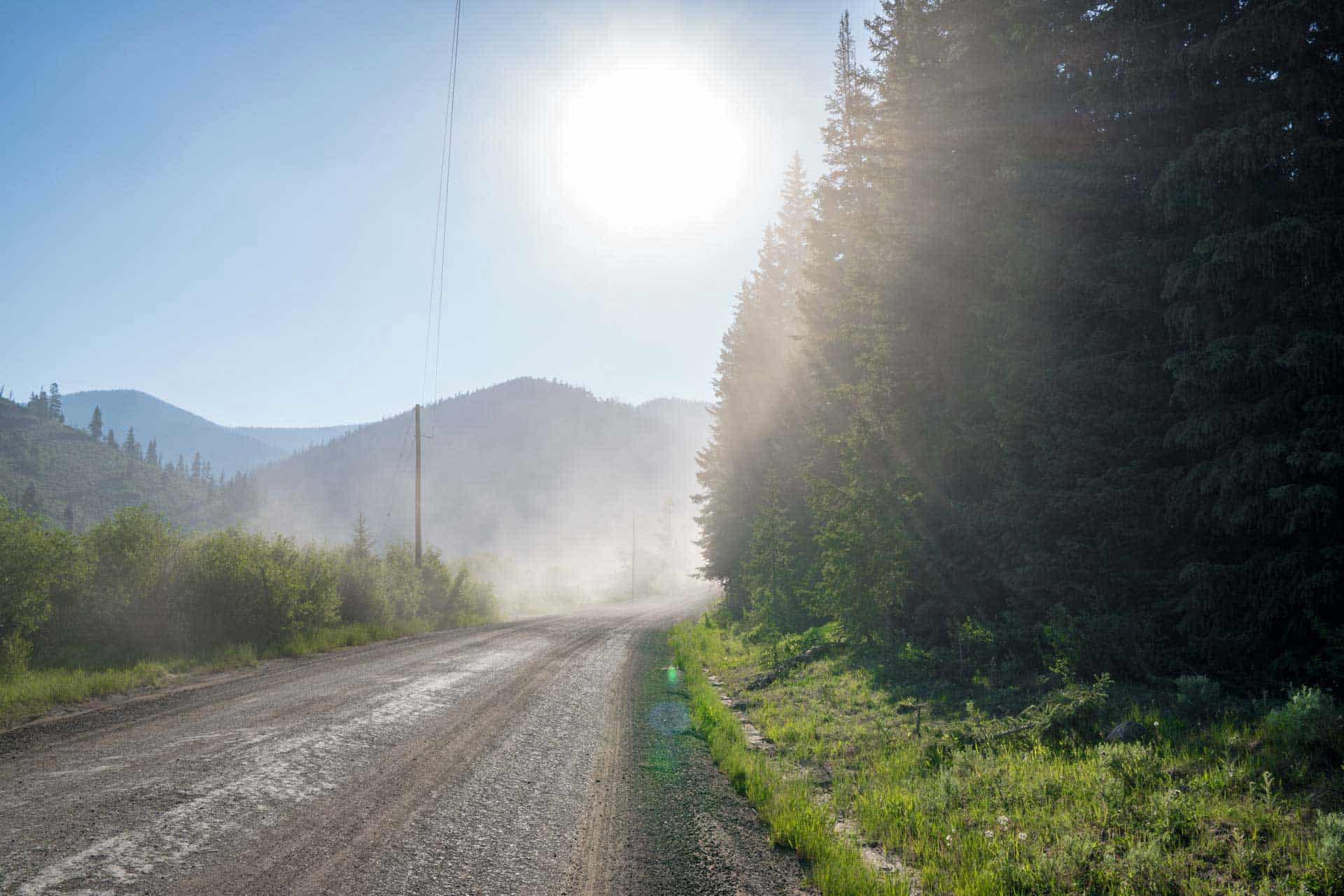
Luckily, I packed an orange juice out of town to help me with my morning hydration. First out of camp, I head down Tiger Road, parallel to the CDT. After a bit of walking the paved road turns into a dirt road. My feet are happy with this change. My lungs are not. A tip for any of you would-be drivers of dirt roads – if there are pedestrians on the road, drive slowly to avoid being a huge asshole and blasting them with dust.
Looking at the map last night, we saw there’s another forest road further along Tiger Road that hooks up with the CDT further east – skipping an unnecessary-looking loop in the trail. The CDT is all about finding shortcuts.

As I spy on the trail from a carefully selected bathroom break, I see Appa and Moist both pass me. The game of knowing who is ahead and who is behind is always a fun one on the trail. Right now, Appa and Moist believe that I am in front; only I know our true hiking order. However, this could change at any point should Appa or Moist decide to duck into the bushes and squeeze one out. Usually, if you hike for long enough without catching someone you believe to be in front of you, it can safely be assumed that you somehow got ahead of them (or that they are pushing ahead and don’t care about seeing you again).
I start hiking again and catch Moist just in time for us to see Appa turn off at the road’s north fork. The route we had looked at last night called for us to turn off at the middle fork. We try yelling to get Appa’s attention, but he’s already too far gone. We continue to the middle fork, unsure of whether we will ever see the Appa again. At least the weather today is looking nice?
Slowly pulling ahead of Moist, I pass a dog kennel (according to a sign in front it is home to 150 sled dogs), a couple of car-filled campsites, a lot of dirt bikes, and some abandoned cabins (lots of abandoned cabins in Colorado). Continuing up the dirt road (note: this is still a shortcut), I’m passed by four ATVs – the first of the trail.


Getting above the treeline, I see the ATVs again – two stopped just ahead and two others further up the mountainside. I keep my eye on the two higher ATVs as I approach the two closer to me and am just in time to see one of the higher ones gas it up a steep bit of road and roll back onto the driver. Hope he’s not dead. There are screams of horror from in front of me as I approach, but much to everyone’s relief, the driver of the now upside-down ATV gets up and waves down to signal he’s alright. I’m happy to see this person hasn’t ruined my day (and that he’s okay).
I continue up the road to where the not-dead ATV driver is and we exchange pleasantries as I continue past. Moist is catching up to me as I continue the climb up the forest road to the ridgeline (where we finally link back up with the CDT). Passing one more abandoned cabin and a few patches of lingering snow, I reach the top of the climb and wait for Moist. The views from the ridge are good, and in the distance, Moist and I can see gathering clouds in the distance – and another hiker?
Seeing Appa’s footprints we yell out and get a loud “COOEE!” in response. Somehow Appa is ahead. He’s a magician.


Appa is far enough ahead that he’s not stopping to wait for us, and before we catch him, I cut down to the town of Montezuma instead of following the CDT. Why am I doing this? Because I need to put a day’s worth of distance between myself and my hiking partners. Why? I need to go into Denver to get a chest x-ray to prove to the New Zealand government that I don’t have tuberculosis (I’m heading to New Zealand on a one-year working holiday visa after the CDT). I don’t want to force Appa and Moist to wait for me while I do this (but I just don’t want to have to catch up to them).
I say goodbye to Moist and tell him to give my regards to Appa.
It’s all forest roads down to Montezuma which is hardly a town. Mountain village would be the best way to describe it. From what I see, there’s not even a store or café (sad, since I could use a cold beverage, but good because I won’t lose any time). I walk a paved road out of Montezuma until hitting a forest road and continuing up to a campground-filled area. I reach a fork at a river where there seem to be two roads – each paralleling a river. I choose the wrong one as it ends up being covered with blowdowns that I’m forced to climb over as it starts to rain.
After crossing the river, I’m back on the CDT and there’s a steady stream of cars coming down the road past me from the end of the valley where I’ll find the trail up to Grays Peak (14,255 ft / 4,345 m) – the highest point on the CDT (remember, that is if you’re paying attention, that Mount Elbert, the highest peak in Colorado that we climbed earlier this week, is not on the official CDT).
By the time the road turns to trail the rain has turned to hail and there’s thunder rumbling all around me. Probably not the best time for a summit bid. I pitch my tent fly with the footprint and lay down to take a nap. I hope Appa and Moist are okay up on the ridge (but let’s be honest, they’re probably dead – at least now I won’t have to rush to Denver).


When I wake up from my nap the thunder has stopped and the clouds seem to be clearing. Top the top we go.
Before my nap, I met a group of hikers who said there’s an alternate route to the summit of Grays Peak that bypasses a supposedly sketchy ridge that you have to cross if following the official CDT. However, I’m not sure where exactly this other trail is and instead of fucking around and risking having to backtrack, I take the official route.
On the way up the second of two long switchbacks I can see Grays Peak (and Torreys Peak) rising up ahead of me. I also see threatening-looking clouds gathering above them. Fantastic. When I make it up to the ridge I think I see two hikers back to the south. Appa and Moist? On second thought, I might just be imagining I’m seeing people back there. I need to focus on getting over and down this mountain before another storm erupts.
The ridge the day hikers told me about turns out to be sketchy indeed. It’s a scramble through scree and talus to the summit of Mount Edwards (13,816 ft / 4,211 m) before dropping 400 ft / 122 m right before the climb up to Grays Peak. Luckily, by the time I reach Mount Edwards, the clouds have thickened and have brought with them fierce gusts of wind and my old friend hail.
Now we just need lightning to make this a real party.


I’m clenching (my butthole) the entire way down from Edwards and up the climb to Grays. My rain jacket, meant to block the stinging hail from assaulting my arms and face, combined with my increased exertion and borderline panic, turns into a bag of sweat as I scramble up the ridge to the northern slopes of Grays.
As the slope of the knife’s edge ridgeline slowly grows more gradual, I split from the trail and head straight down the mountain to the valley on the other side. No way am I risking going up to the peak in these conditions. Stumbling down the mountain, I pass a tribe of curious mountain goats who appear more interested in me than they are worried about the weather. I wonder how often mountain goats get hit by lightning.
I also wonder why they’re getting so close to me. Are people feeding them? Don’t feed the animals, people.


Once I make it to the trail in the valley below, the clouds clear (such is life on the CDT) and it ends up being a very nice sunset. It’s 3.8 mi / 6.1 km to the Grays Peak Trailhead where I plan on camping tonight (if I’m lucky, there will be a trash can and/or bathrooms). What I don’t plan on is how crowded the place will be when I get there (I guess people in Colorado like mountains).
I find Party Saver, another CDT hiker, and set up camp nearby. Tomorrow is going to be a long day as I plan on making it to Winter Park (and possibly beyond). The rest of my waking hours are spent examining the maps for shortcuts.
On a related note, it seems that my mission for today, to get ahead of Appa and Moist, has been a success. Unless they are somehow ahead of me, there’s no way they’re coming over Grays today (but who knows, maybe they’ll surprise me).
Day 69: A Huge Mistake (Winter Park, CO)
My shortcut game was strong last night and I think I’ve found a quicker way to the next town, Winter Park, today than following the trail the entire way. If I really wanted to make good time I would skip Winter Park, but I cannot resist the temptation of town (after all, if we’re not hiking these trails for the towns, why are we hiking them?).
The shortcut involves following a stream down a valley (there’s no trail here) to a lake or reservoir-looking thing before walking a forest road out to the highway south of Winter Park. I’m not 100% sure this will work, but I’ve had lots of luck with my shortcuts of late and I’m feeling confident this one will work out (if it doesn’t I’ll either be hopelessly lost or face a long and uphill hike back up to the CDT).
It’s early when I start walking and the parking lot has become impossibly full since last night. Somehow, there is still a steady stream of cars heading up the road to the trailhead as I descend to Highway 6. Every third or fourth car stops and, holding up traffic behind them, asks me “is the way to Grays Peak?” I tell them all yes (I am feeling nice this morning) and tell them that they should be parking as soon as possible. I honestly don’t know where these people are going to park.
At the end of a long and steep dirt road, the trail flattens out as I parallel the highway for around 3 mi /4.8 km on a bike path. I also see my first moose of the CDT taking a morning drink in a stream down the embankment from the path – so that’s exciting. After hitting the road I cross to the Herman Gulch Trailhead and begin a 3,000 ft / 915 m climb to get nice and sweaty for my shortcutting. The parking lot here is filled and I pass dozens of hikers on my way up the climb. Thankfully, I realize my shortcut will shave a bit of elevation off this climb. I’m hoping this works out.


I head down the valley, now following a stream (and no longer on a trail) with the hopes this won’t be too difficult.
My alternate begins with an exercise in high stepping as I navigate through knee-high shrubbery filled with pointy branches that are perfect for stabbing through my oh-so-sensitive leg skin. Since it looks like all I have to do is head downhill, I move further away from the stream to where the bush isn’t as thick. Things are going well until I get into the trees, lose sight of the stream and start to wonder if this was such a good idea.
Getting back to the stream isn’t difficult, but following it isn’t easy as the banks are quite steep and overgrown in places. After forty minutes of hiking, I find a disused forest road that is almost as difficult to follow as the stream. Huge sections of the road have been dug up and piled into mounds every few dozen paces. If they’re trying to stop cars, couldn’t they have just done this once? But what if they’re trying to stop something that’s not cars? What if an unspeakable horror dwells at the bottom of this valley? I hope whatever it is, it will give me a ride to Winter Park.
After an hour, I’ve found the reservoir and, lucky me, there’s a nice road leading out to the highway. It’s not long before I get a hitch with two bros heading into Winter Park to do some electrical work (or something like that) on a house up there. There are no seats in the back of their van so I just slide around with their equipment the whole way into town. Probably totally safe.


After filling up on food, I head to Hideaway Park Brewery to wash down my breakfast with alcohol. The beer here is great, so I am surprised there’s only one other person in here. Where is everyone? It’s noon on Friday.
“You know, my brother is gay, too,” says my drunken bar companion, unprompted (he obviously started drinking before this place opened).
“That’s interesting, but just so you know in case you’re trying to set us up, I’m not gay,” I respond.
“Oh…well, I just thought because of your hat, you know?”
Let this be a lesson to all of you would-be assumers out there. Don’t assume anything about anyone. Ever. Okay, maybe sometimes, but generally, it’s an unwise thing to do.
After another beer, I leave my new friend(?) and head to three other bars in town before hitting the grocery store and then finishing up my Winter Park tour at Idlewild Spirits Brewpub for a daycap. By the time I’m headed to the south end of town to catch a ride back to the trail, I’m admittedly very drunk (I know because walking into a sandwich shop I fell going up the stairs, smashed my glasses (now cracked and held together with tape) and sliced opened my hand before turning around and leaving in embarrassment).


Sad, bleeding, and without a sandwich, I make it to the edge of town where I’m quickly picked up and brought up to Berthoud Pass. The trail heads nearly 2,000 ft / 610 m up from the pass and by the time I’ve made it to the 13,123 ft / 4,000 m summit of Mount Flora the sun has set and I’m on the hunt for a campsite.
From the summit, it’s that same 2,000 ft / 610 m straight down the other side. Huzzah! And what more? The east side of the mountain (i.e. the side I’m walking down now) is covered in snow! And what more? Yeah, now it’s officially dark. But guess what! My headlamp batteries are dying.
Drunk night hiking through the snow is one of the poorer decisions I’ve made on the trail.
ZZZzzz…


Day 70: GET OFF THE RIDGE!
I don’t regret my decisions yesterday. That said, they were not very good ones. Except for the one that was “hike out of town”. That was a good decision, and I am happy to see that I’ve made it a surprisingly decent way from the pass.
My hangover is not helped by the huge human shit I come across when searching for a suitable spot to dig a cat hole (that’s what you call a hole you dig to poop in – in case you’re new here). Seriously, friends, bury your poop and pack out your toilet paper.
There’s another 1,500 ft / 457 m of descent this morning before the trail begins a 3,169 ft / 966 m climb up to James Peak. The climbs in Colorado don’t get any smaller – in fact – it feels like they’re getting bigger. However, I am glad to no longer be hiking through the snow-covered San Juan Mountains, so I can’t complain.


At the summit of James Peak, I meet a group of hikers who have made a day trip to the top from the north side (apparently there’s easier access this way). They tell me that the weather is expected to turn today despite the relatively cloud-free skies I’ve had all morning. Great.
After a 1,100 ft / 335 m descent from James Peak, the trail continues along the ridge at around 12,000 ft / 3,658 m (well above the treeline) for around 8 mi / 12.9 km. These may seem like a bunch of arbitrary numbers, but these numbers have proven themselves important in Colorado. Paying attention to how high the trail goes and how long it stays there has kept me from being caught out on a ridge in an afternoon storm (for the most part).
An hour of ridge walking later and the promised clouds have arrived. I drop off the ridge and down to the treeline to have a look at the map. It looks like there’s a network of forest roads more or less paralleling the CDT through this section, but taking these roads will add some distance. There’s no way I’m hiking the ridge with this afternoon storm looming, so I guess that the forest roads are faster compared to not hiking anywhere.
I can’t stop and wait out the storm since my goal is to get ahead of Appa and Moist to buy myself an extra day to go into Denver.


Connecting up hiking trails, bike paths, and forest roads, I slowly make my way north and through an area called Devil’s Thumb Ranch (some kind of private community or something? I don’t know but they sure do like their signs telling you to stick to the road).
The weather worsens and I’m happy to see that I’ve made the right decision (at least for me) to get off the ridge. There’s no way I would be comfortable hiking at 12,000 ft / 3,658 m on a ridge now. I’ve said it before and I’ll say it again, the thing I’m most afraid of in the mountains is lightning (and, of course, the BearCat).
Eventually, I make it back to the CDT via Devil’s Thumb Trailhead and continue down the trail until I reach Monarch Lake as the sun goes down. Still no sign of Appa and Moist – I think I’m making good time. I haven’t seen any CDT hikers since leading Grays Peak trailhead yesterday morning (this means two full days of hiking). Then again, I’ve spent much time off the official CDT.
If all goes well tomorrow, I’ll make it to Grand Lake and if all goes extra well, I’ll make it to Denver.


Week 10 Totals
- Day 64 (July 1): 10.3 mi / 16.58 km (Arrive Leadville, CO)
- Day 65 (July 2): 16.5 mi / 26.55 km (Leave Leadville, CO)
- Day 66 (July 3): 18.2 mi / 29.29 km (Arrive Breckenridge, CO)
- Day 67 (July 4): 5.7 mi / 9.17 km (Leave Breckenridge, CO)
- Day 68 (July 5): 31.2 mi / 50.21 km
- Day 69 (July 6): 24.2 mi / 38.95 km (Arrive/Leave Winter Park, CO)
- Day 70 (July 7): 22.7 mi / 36.52 km
CDT Week 10 Total: 128.8 mi / 207.28 km
CDT Journals
- Day 1: The Middle of Nowhere
- Week 1: The Bootheel
- Week 2: The Gila
- Week 3: We Got A Dog
- Week 4: One Month In
- Week 5: Don’t Die
- Week 6: The San Juans
- Week 7: Big Decisions
- Week 8: Three Is Company
- Week 9: Moist Is Dead?
- Week 10: Shortcuts to Town
- Week 11: Farewell Moisture
- Week 12: Wyoming!
- Week 13: The Winds
- Week 14: Yellowstone
- Week 15: The Final State(s)
- Week 16: MURKAH
- Week 17: You Think You Know Montana?
- Week 18: The Gang’s All Here
- Week 19: Fires!
- Week 20: Canada
Affiliate Disclosure: This page may contain affiliate links, which means I may receive small commissions for purchases made via these links at no additional cost to you. This helps pay the bills and keep the site up and running. Thank you for your support!

The place where you weren’t blown up and didn’t have to not extinguish any fires is (the now-deserted) Camp Hale. It was where the army’s Tenth Mountain Division trained before going into battle in WWII. I’ve lived in Colorado my whole life and have never heard of anyone setting off any ordnance in that area – but who knows . . . dead men tell no tales.
Interesting stuff. There’s probably more risk from unexploded avalanche control munitions than at Camp Hale.
Interesting to know – thanks for the enlightenment!
You’re exactly right, Mac. Reportedly, there are more unexploded avalanche shells scattered around the mountains now than ever. From the AP story on this:
“Shots from a howitzer resemble a huge bullet, and rounds from CDOT’s ‘ava-launcher’ look more like a torpedo and are usually orange or yellow.”
I was just recently told about your site, Mac, and find your sense of humor and writing style very entertaining. Thanks!
TJ
Thank you, TJ!
your poor sunglasses
I’m not a good person.
your poor sunglasses
https://en.wikipedia.org/wiki/Camp_Hale